10 October 2026
Partly cloudy with isolated showers developing in the afternoon. Northeasterlies dying out in the afternoon.
Loading outdoor place details…
Ōtaki Forks area
The day trip to Table Top is the classic climb to the tops of the western Tararua Range.
Distance
7 km
Walking time
3-4 hours one way, 6-7 hours return
Difficulty
Intermediate
Dogs
Allowed — check local rules
Wheelchair access
Not marked friendly
Current status
Weather outlook
Issued 10 Oct 2026, 4:55 pm
10 October 2026
Partly cloudy with isolated showers developing in the afternoon. Northeasterlies dying out in the afternoon.
11 October 2026
Showers, clearing to fine spells early afternoon, then clouding over towards evening with drizzle on the ranges. Northerlies.
12 October 2026
Fine, then a few showers developing in the evening. Northwesterlies developing for a time in the afternoon.
13 October 2026
Occasional rain. Northeasterlies, turning northwesterly in the morning.
14 October 2026
Rain. Northwesterlies.
Regional guidance only; elevation and terrain can produce different conditions.
Explore the area
Explore the track route and surrounding area before you set out.
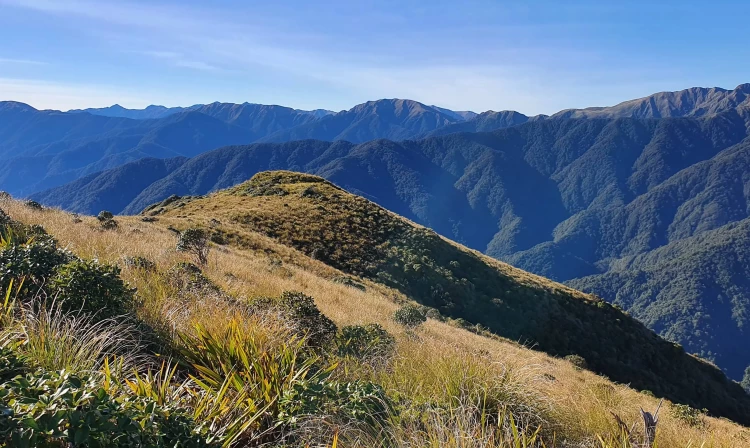
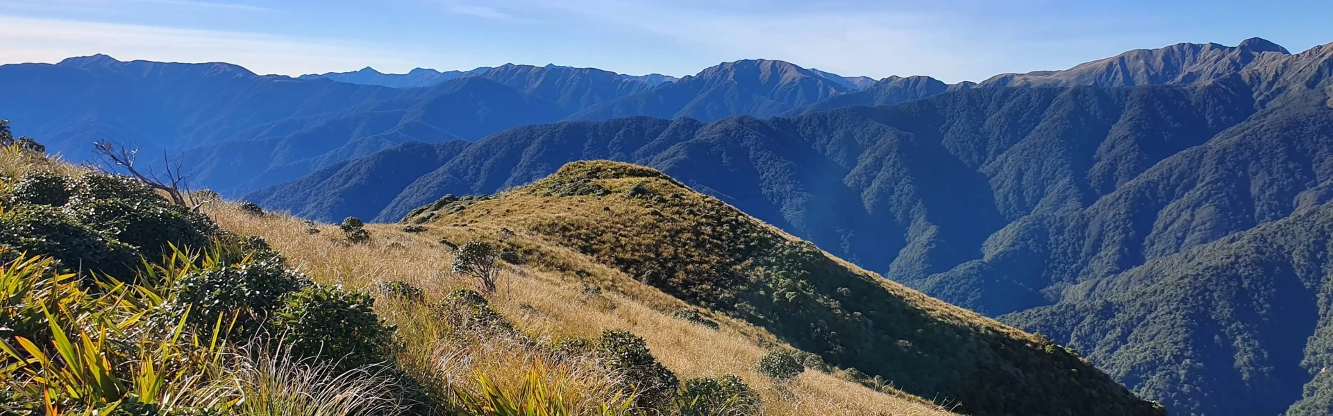
The day walk to Table Top is one of the most popular climbs in the western Tararua Range. It is also the main access route for the Southern Crossing , one of the Tararuas’ best-known multi-day tramps. The track starts at the Ōtaki Forks car park, where the Field Track crosses the Waiotauru River via a footbridge. From here, the path climbs steadily for around 3–4 hours through tall kamahi and beech forest. The forest is shaded and quiet, leading up to the historic Field Hut at 900 metres, just below the bushline. Beyond Field Hut, the track continues uphill through dense leatherwood shrubs before breaking out into open tussock country near the summit of Table Top (1047 metres). A raised boardwalk and gravel track protect fragile subalpine wetlands as you cross this area. From here, wide views open up, with the Main Range peaks and the deep Ōtaki River gorges stretching from east to north. The return walk from Field Hut back to Ōtaki Forks takes about 3 hours. Allow 6–7 hours in total for the full return trip.
The Southern Crossing is often plagued by bad weather and is especially exposed to cold southerlies, the cause of several fatalities over the years.
Field Hut
Ōtaki Forks is 19 km inland from Ōtaki township – approximately 1 hr 30 min drive from Wellington or Palmerston North. The easiest turnoff from SH1 is at Ōtaki Gorge Road, just south of the SH1 bridge over the Ōtaki River. The last 5 km of the Ōtaki Gorge Road is unsealed, narrow and windy – drive carefully. Use this location in Google Maps to find your way there.
We encourage you to continue gaining the skills and knowledge required for a safe trip. The NZ Mountain Safety Council has lots of free resources and information you can use. These can be accessed via www.mountainsafety.org.nz . We recommend trying these online learning tools: Trip Planning Tramping / field Skills Basic Navigation River Safety Additionally, check out the range of helpful videos available from the NZ Mountain Safety Council YouTube channel .
Dogs allowed. Keep dog under control at all times.
Track information, access and weather can change. Confirm current alerts and land-manager information close to departure, tell someone your plans, and carry equipment appropriate for the route and conditions.