11 October 2026
Fine, apart from showers before dawn, then some cloud in the west from afternoon. Northerlies changing westerly in the morning, dying out early evening.
Loading outdoor place details…
Russell area
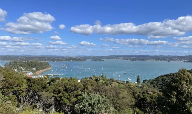
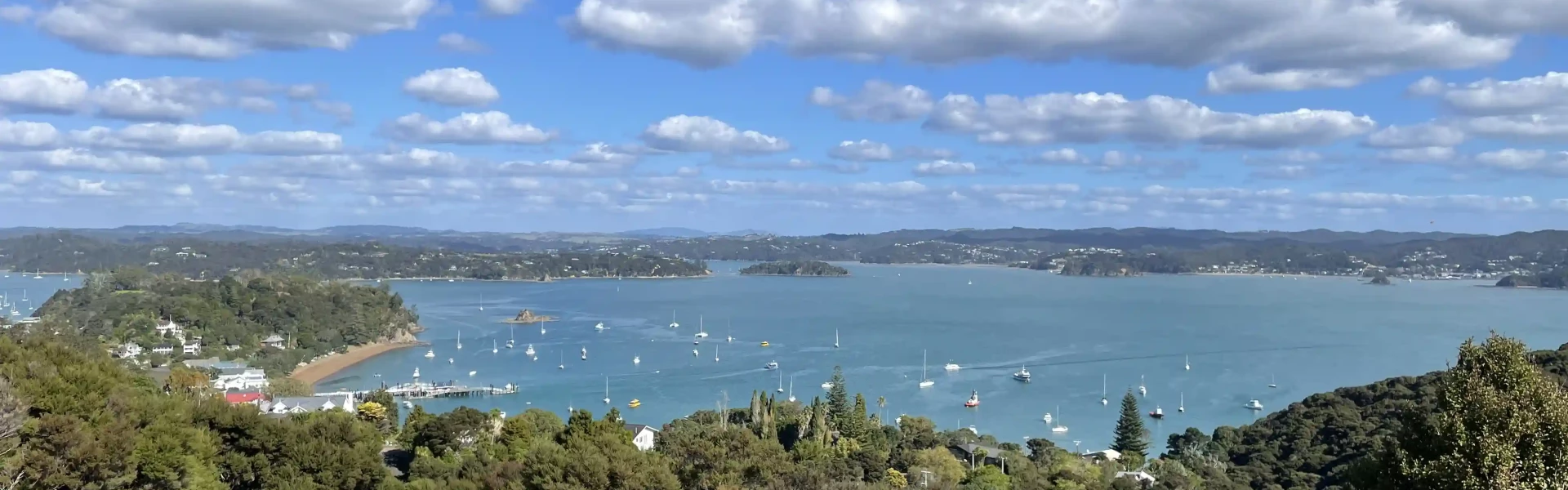
Enjoy 360 degree views of the Bay of Islands from this important historic site - the Union Jack was first flown here in 1840, then chopped down four times up till 1845 as a symbolic gesture against British rule.
Distance
2.5 km
Walking time
30 min
Difficulty
Easy
Dogs
Not allowed
Wheelchair access
Not marked friendly
Current status
No active alerts found. Conditions can still change, so check again before leaving.
Weather outlook
Issued 10 Oct 2026, 11:01 pm
11 October 2026
Fine, apart from showers before dawn, then some cloud in the west from afternoon. Northerlies changing westerly in the morning, dying out early evening.
12 October 2026
Partly cloudy. Westerlies.
13 October 2026
Partly cloudy, with isolated showers in the afternoon and evening. Northwesterlies.
14 October 2026
Partly cloudy with isolated showers developing in the morning. Northwesterlies.
15 October 2026
Occasional rain, clearing. Northerlies, turning westerly.
Regional guidance only; elevation and terrain can produce different conditions.
Explore the area
Explore the track route and surrounding area before you set out.
Track description This track takes you to one of the best lookouts in Northland. The track starts at a carpark on the corner of The Strand and Wellington Streets with options depending on the tide. There is the option of driving up to the top but it is a very lovely and satisfying walk up. If you choose this option, you may see the rare North Island weka, as well as plenty of other native birds. The path is suitable for anyone prepared for a steep walk of 100m elevation gain. There are steps in some places. Keep an eye out for signage while you’re walking as there are a number of path options to take. This is one of the top experiences in the Bay of Islands. From the top, views stretch all around. The site is historically significant and information panels help to explain some of that history. Getting there There are a number of path options for this track, which could be affected by the tide. Check out the tide timetable for Russell on the NIWA site . At low tide, from the carpark, follow the beach on the left. Keep looking out on the right for the sign that links you up to the loop track. At high tide, from the carpark, keep walking up Wellington Street. There will be a sign on your left about 300m on the road that takes you onto the track. Parking for both options is at the northern end of The Strand. Use this location in Google Maps to find your way there. Helpful resources Find tips, guides and how-to videos to help you prepare for your walk at mountainsafety.org.nz
No dogs.
Track information, access and weather can change. Confirm current alerts and land-manager information close to departure, tell someone your plans, and carry equipment appropriate for the route and conditions.