11 October 2026
Rain, heavy at times, easing to showers in the morning, then clearing to fine in the evening.
Loading outdoor place details…
Kahurangi National Park
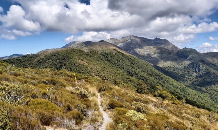
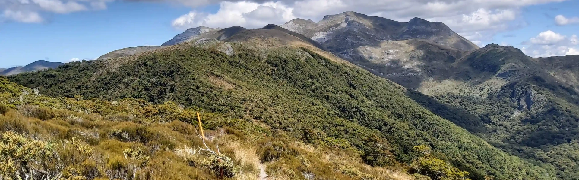
Walk through beech forest and alpine scrub to see views over Arthur Range and Tasman Bay.
Distance
10 km
Walking time
4 hrs
Difficulty
Easy, Advanced
Dogs
Not allowed
Wheelchair access
Not marked friendly
Current status
Weather outlook
Issued 10 Oct 2026, 9:23 pm
11 October 2026
Rain, heavy at times, easing to showers in the morning, then clearing to fine in the evening.
12 October 2026
Fine, but becoming mostly cloudy with isolated showers in the evening.
13 October 2026
A few showers.
14 October 2026
Rain, with heavy falls.
15 October 2026
Occasional rain.
Regional guidance only; elevation and terrain can produce different conditions.
Explore the area
Explore the track route and surrounding area before you set out.
Time required : 4 hours return This loop track can be walked in either direction or used to access either of the two huts. It is described here clockwise. From Flora car park, follow the track to Flora Saddle where a well-graded track follows the ridge towards Mt Arthur, winding through beech forest and groves of candelabra-like mountain neinei (Dracophyllum sp.). Mt Arthur Hut is just on the tree line – walk a bit further above the hut for views to Mt Arthur and the Tablelands. To continue the loop, take the first right which descends through a mixture of beech forest and alpine scrub, providing views over Arthur Range and Tasman Bay. It then heads down to Flora Hut. To complete the circuit, turn right again and head up along Flora stream to Flora Saddle before contouring left to the carpark.
Care is required around the many bluffs, sinkholes and caves; warm and waterproof clothing should be carried. The access road into the Mount Arthur area (Graham Valley Road) is steep and narrow and prone to corrugations and slips – check any alerts for road status. During the winter months a 4WD vehicle is recommended to access Flora carpark. Chains may be needed if snow and ice are present
Mt Arthur Hut Flora Hut
Flora car park is 75 km from Nelson and 36 km from Motueka. The Motueka Valley Highway links Nelson and Motueka. Turn off this road at Ngātīmoti and cross the Motueka River. Turn left onto Motueka River West Bank Road, then right into Graham Valley Road, which climbs steeply to the car park. The last 5.8 km is unsealed and turning a vehicle on the road can be difficult. 4WD is recommended at all times of the year. Use this location in Google Maps to find your way there.
We encourage you to continue gaining the skills and knowledge required for a safe trip. The NZ Mountain Safety Council has lots of free resources and information you can use. These can be accessed via www.mountainsafety.org.nz . We recommend trying these online learning tools: Trip Planning Tramping / field Skills Basic Navigation River Safety Additionally, check out the range of helpful videos available from the NZ Mountain Safety Council YouTube channel .
No dogs.
Track information, access and weather can change. Confirm current alerts and land-manager information close to departure, tell someone your plans, and carry equipment appropriate for the route and conditions.