09 October 2026
Mainly fine but the chance of an inland afternoon or evening shower. Areas of low cloud or fog possible at night. Light winds but easterlies about the coast for a time this afternoon.
Loading outdoor place details…
Central Southland area
This gentle walking track follows the banks of the river through attractive native bush in Hokonui Forest.
Distance
3.6 km
Walking time
1 hour
Difficulty
Easy
Dogs
On-lead only
Wheelchair access
Friendly
Current status
No active alerts found. Conditions can still change, so check again before leaving.
Weather outlook
Issued 9 Oct 2026, 4:49 pm
09 October 2026
Mainly fine but the chance of an inland afternoon or evening shower. Areas of low cloud or fog possible at night. Light winds but easterlies about the coast for a time this afternoon.
10 October 2026
Areas of low cloud or fog in the morning and again at night, otherwise partly cloudy with isolated afternoon and evening showers. Easterlies about the coast for a time in the afternoon.
11 October 2026
Fine, but becoming mostly cloudy with isolated showers in the evening. Northerlies, turning westerly in the afternoon.
12 October 2026
Fine. Northwesterlies developing in the morning.
13 October 2026
Showers developing in the morning. Northwesterlies, dying out in the evening.
Regional guidance only; elevation and terrain can produce different conditions.
Explore the area
Explore the track route and surrounding area before you set out.
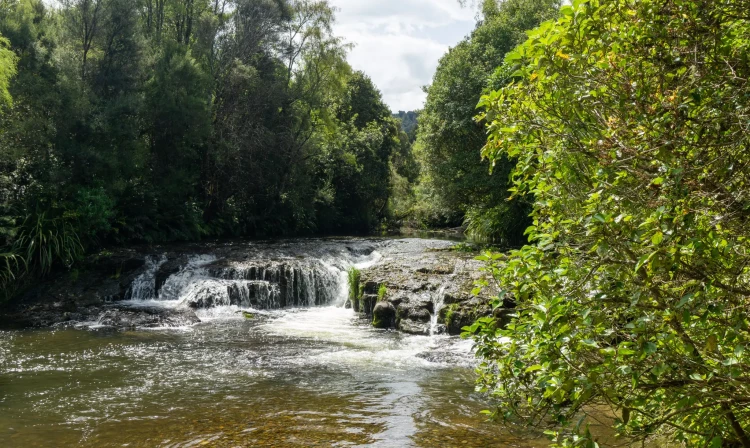
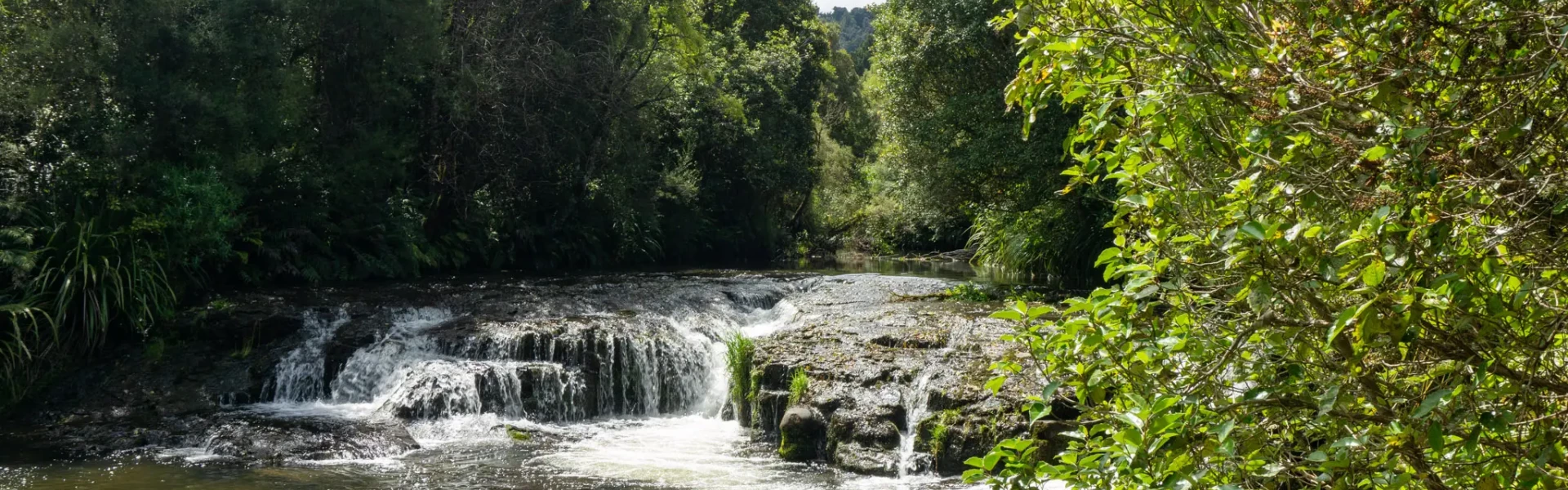
The track winds through matai and kahikatea alongside the Dunsdale stream and past a small waterfall. The first section of track to the waterfall is accessible to wheelchairs. Return the same way as the track further on is unsuitable for wheelchairs. Midway around the loop you will find yourself in a large grassy clearing often abundant with a variety of butterfly species. The walk begins in a large camping area administered by the local council and accessed via forestry roads. This site also includes toilets and a water supply.
From Invercargill travel north on SH6 for 40kms to Lochiel. Turn right onto Forest Hill Crossing Road, turn left onto Norman Road, turn right onto SH96, turn left onto Anderson Road. Continue straight onto Brookdale Road. Turn left onto Butlers Creek Road. Follow forestry signs to Dunsdale Reserve. Use this location in Google Maps to find your way there.
We encourage you to continue gaining the skills and knowledge required for a safe trip. The NZ Mountain Safety Council has lots of free resources and information you can use. These can be accessed via www.mountainsafety.org.nz . We recommend trying these online learning tools: Trip Planning Tramping / field Skills Basic Navigation River Safety Additionally, check out the range of helpful videos available from the NZ Mountain Safety Council YouTube channel .
Dogs on a leash only.
Track information, access and weather can change. Confirm current alerts and land-manager information close to departure, tell someone your plans, and carry equipment appropriate for the route and conditions.