09 October 2026
Mainly fine but the chance of an inland afternoon or evening shower. Areas of low cloud or fog possible at night. Light winds but easterlies about the coast for a time this afternoon.
Loading outdoor place details…
Stewart Island/Rakiura
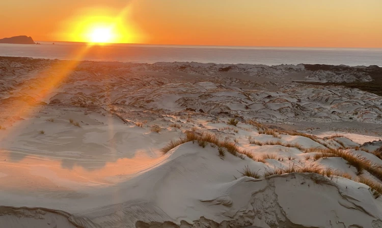
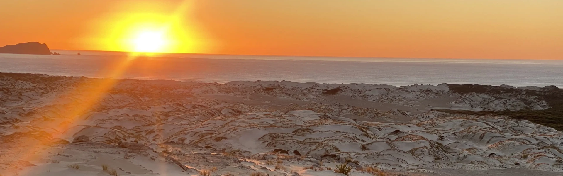
This is a backcountry walk over flat tussock wetland and mānuka country to Mason Bay which has one of the most extensive inland dune systems in the Southern Hemisphere.
Distance
15.5 km
Walking time
4 hr one way
Difficulty
Advanced
Dogs
Not allowed
Wheelchair access
Not marked friendly
Current status
No active alerts found. Conditions can still change, so check again before leaving.
Weather outlook
Issued 9 Oct 2026, 4:49 pm
09 October 2026
Mainly fine but the chance of an inland afternoon or evening shower. Areas of low cloud or fog possible at night. Light winds but easterlies about the coast for a time this afternoon.
10 October 2026
Areas of low cloud or fog in the morning and again at night, otherwise partly cloudy with isolated afternoon and evening showers. Easterlies about the coast for a time in the afternoon.
11 October 2026
Fine, but becoming mostly cloudy with isolated showers in the evening. Northerlies, turning westerly in the afternoon.
12 October 2026
Fine. Northwesterlies developing in the morning.
13 October 2026
Showers developing in the morning. Northwesterlies, dying out in the evening.
Regional guidance only; elevation and terrain can produce different conditions.
Explore the area
Explore the track route and surrounding area before you set out.
From Freshwater Landing, the track heads inland. After about 3 km, the mānuka shrubland becomes thicker and the track begins to follow the swiftly flowing Scott Burn Stream. During heavy rain, this 4 km section of the track is prone to flooding and at either end of this section there are flood signs with an orange marker located 20 cm above the base of the post. If the water is above the orange flood marker it is crucial that trampers do not proceed, as sections of this stream are prone to erosion and this will be not visible in flood waters. Instead, turn back and return the way you came. Leaving the mānuka shrubland behind, the track begins to open up and starts to follow a short boardwalk through a wetland area. Here you begin to get your first glimpses of the extensive sand dunes that Mason Bay is so well known for. Nearing Mason Bay, the track passes through old fences, areas of pasture and leads you to past historical relics such as the shearing shed and Island Hill Homestead. After passing the Homestead, Mason Bay Hut is located 15 minutes further down the track.
Ensure you are prepared for muddy and slippery track conditions all year round. Stewart Island’s weather is extremely changeable and difficult to predict. Strong winds, hail and heavy rain can occur at any time of the year. Taking a personal locator beacon and/or satellite messenger device is strongly recommended. Personal locator beacons can be hired from the Rakiura National Park visitor centre. Radios are not provided in the huts. Cell phone coverage is very limited and should not be relied on.
Mason Bay Hut Freshwater Hut
This track is part of the North West Circuit and Southern Circuit and is accessible by walking adjoining tracks. The track between North Arm and Freshwater can be challenging, involving a significant river crossing, many steep and slippery gullies and knee-deep muddy sections. For more direct access to Freshwater Landing, take a water taxi up the Freshwater River at high tide. Organise return transport before you go as there is no reception once you head into the backcountry on Stewart Island. Mason Bay beach can be accessed by plane or helicopter. You will need to contact the operators directly. Visit the Stewart Island Website to find out more about transport options to and from this track.
We encourage you to continue gaining the skills and knowledge required for a safe trip. The NZ Mountain Safety Council has lots of free resources and information you can use. These can be accessed via www.mountainsafety.org.nz . We recommend trying these online learning tools: Trip Planning Tramping / field Skills Basic Navigation River Safety Additionally, check out the range of helpful videos available from the NZ Mountain Safety Council YouTube channel .
No dogs.
Track information, access and weather can change. Confirm current alerts and land-manager information close to departure, tell someone your plans, and carry equipment appropriate for the route and conditions.