10 October 2026
Cloudy with showers increasing mainly inland this afternoon, possibly heavy, becoming rain at night. Northeasterlies.
Loading outdoor place details…
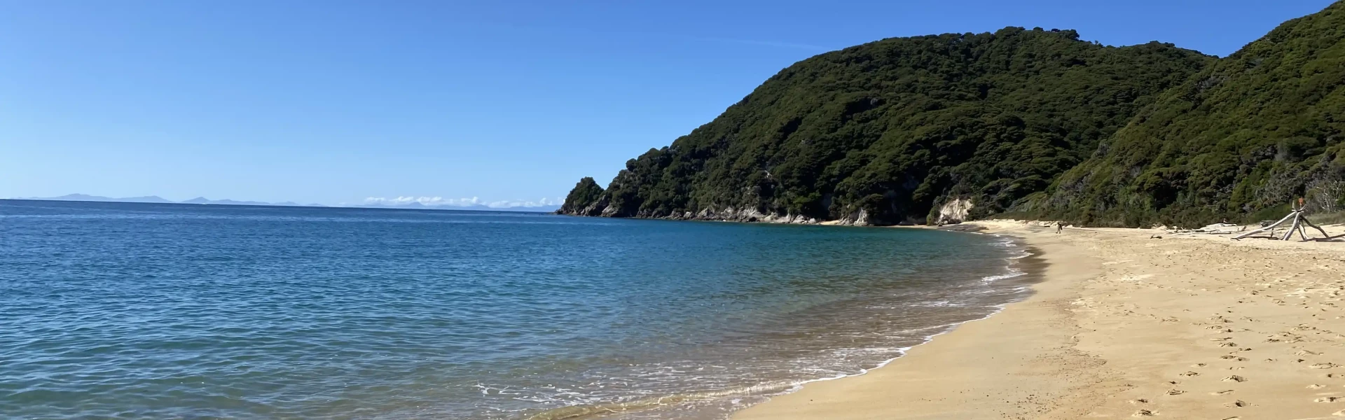
Abel Tasman National Park
The Gibbs Hill Track crosses Abel Tasman National Park inland between Wainui and Tōtaranui.
Distance
9.5 km
Difficulty
Advanced
Dogs
Not allowed
Wheelchair access
Not marked friendly
Current status
No active alerts found. Conditions can still change, so check again before leaving.
Weather outlook
Issued 10 Oct 2026, 4:55 pm
10 October 2026
Cloudy with showers increasing mainly inland this afternoon, possibly heavy, becoming rain at night. Northeasterlies.
11 October 2026
Rain at first, possibly heavy, then showers easing in the afternoon, clearing early evening. Northerlies, turning westerly in the afternoon.
12 October 2026
Fine, but becoming mostly cloudy with isolated showers in the evening. Northerlies developing for a time in the afternoon.
13 October 2026
Occasional rain clearing in the afternoon, then partly cloudy. Light winds.
14 October 2026
Occasional rain, with some heavy falls. Northerlies, turning westerly in the afternoon.
Regional guidance only; elevation and terrain can produce different conditions.
Explore the area
Explore the track route and surrounding area before you set out.
Wainui Carpark to Gibbs Hill 10.4 km return Wainui Carpark to Totaranui over Gibbs Hill Track 9.5 km point to point Totaranui to Gibbs Hill 8.6 km return
Shared use tracks This track is used by walkers, hunters and mountain bikers. Mountain Biking Mountain biking Wainui - Gibbs Hill - Tōtaranui is allowed from 1 May to 1 October at any time of the day. There is a maximum group size of eight riders. Mountain biking is NOT allowed on other tracks in the area. Gorse There is gorse next to the track. The native forest is regenerating from historical clearance. Gorse is a nurse crop in the regeneration process. Water Take plenty of water with you over Gibbs Hill
The road-ends of Tōtaranui and Wainui are north-east of Takaka. T ōtaranui is 32km from Takaka by road. For the last 13 km the road is unsealed. Wainui Bay Carpark is 21 km from Takaka. For the last 2 km, the road is unsealed.
We encourage you to continue gaining the skills and knowledge required for a safe trip. The NZ Mountain Safety Council has lots of free resources and information you can use. These can be accessed via www.mountainsafety.org.nz . We recommend trying these online learning tools: Trip Planning Tramping / field Skills Basic Navigation River Safety Additionally, check out the range of helpful videos available from the NZ Mountain Safety Council YouTube channel
No dogs.
Track information, access and weather can change. Confirm current alerts and land-manager information close to departure, tell someone your plans, and carry equipment appropriate for the route and conditions.