11 October 2026
Showers, clearing early evening but remaining partly cloudy. Light winds.
10° / 19°
Loading outdoor place details…
Victoria Forest Park
This track is for both trampers and mountain bikers. It connects the Reefton township with the Globe Progress Mine site.
Distance
11 km
Walking time
3.5 hr
Difficulty
Easy
Dogs
Not allowed
Wheelchair access
Not marked friendly
Current status
No active alerts found. Conditions can still change, so check again before leaving.
Weather outlook
Issued 10 Oct 2026, 11:40 pm
11 October 2026
Showers, clearing early evening but remaining partly cloudy. Light winds.
10° / 19°
12 October 2026
Fine. Northerlies developing for a time in the afternoon.
11° / 24°
13 October 2026
A few showers clearing in the afternoon, then partly cloudy. Northerlies developing in the morning.
13° / 22°
14 October 2026
Rain, with heavy falls from afternoon. Northerlies, dying out in the evening.
9° / 17°
15 October 2026
Showers, some heavy, easing for a time in the morning. Light winds.
9° / 16°
Regional guidance only; elevation and terrain can produce different conditions.
Explore the area
Explore the track route and surrounding area before you set out.
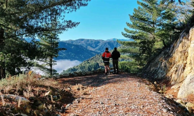
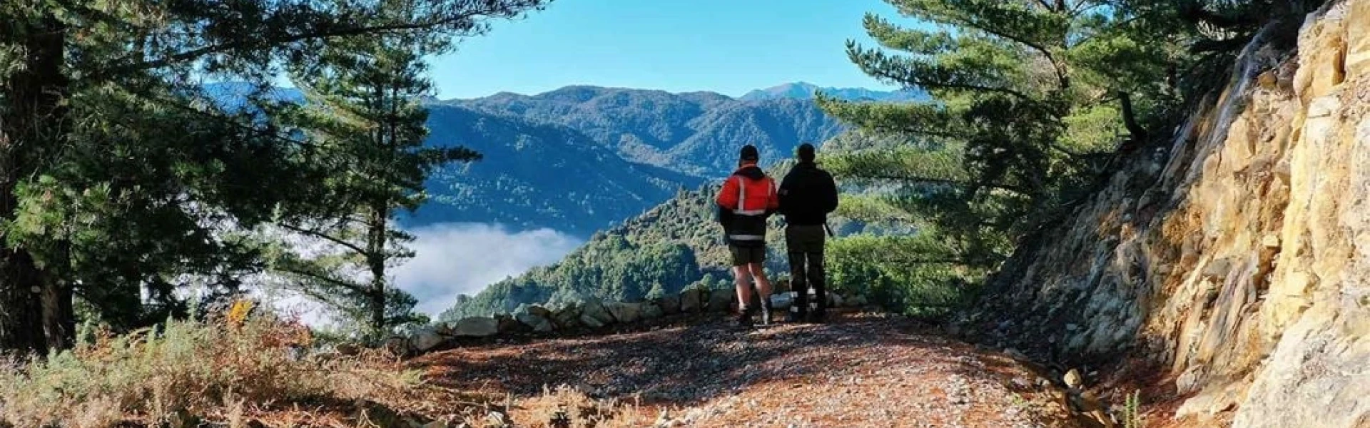
This gravel-surfaced track can be biked or walked, climbing steadily through Ngāi Tahu forestry land with sweeping views over Reefton township and the Inangahua River valley. It then enters Victoria Forest Park, winding through beautiful native beech forest before reaching the Globe Progress Mine site. Along the way, keep an eye out for native birdlife such as tūī, korimako/bellbird, miromiro/tomtit, toutouwai/robin, kākā, and kākāriki/parakeets.
The lakes and water in area not suitable for swimming or drinking. There can be high numbers of bumble bees during summer months (December - February). There can be vehicles present at times due to continual monitoring of the site. There are mining processing plant foundations present. Do not climb the structures and supervise children at all times. Weather conditions can change rapidly, particularly on the tops. Rain can quickly make even small streams treacherous to cross.
Access from Rosstown Road, south of Reefton across the Inangahua river. Use this location in Google Maps to find your way there.
We encourage you to continue gaining the skills and knowledge required for a safe trip. The NZ Mountain Safety Council has lots of free resources and information you can use. These can be accessed via www.mountainsafety.org.nz . Level up in your outdoor knowledge with these interactive online learning tools: Trip Planning Tramping / field Skills Basic Navigation River Safety Additionally, check out the range of helpful videos available from the NZ Mountain Safety Council YouTube channel .
No dogs.
Track information, access and weather can change. Confirm current alerts and land-manager information close to departure, tell someone your plans, and carry equipment appropriate for the route and conditions.