11 October 2026
Scattered showers, becoming confined south of Doubtful Sound in the afternoon.
Loading outdoor place details…
Greenstone and Caples Conservation Areas
The Caples and Greenstone tracks start from the car park at the end of Greenstone Road, 86 km from Queenstown, via Glenorchy. Alternatively, they can be started from Lake Howden outlet on the Routeburn Track.
Distance
59.4 km
Walking time
4 days
Difficulty
Intermediate
Dogs
Not allowed
Wheelchair access
Not marked friendly
Current status
Weather outlook
Issued 10 Oct 2026, 9:23 pm
11 October 2026
Scattered showers, becoming confined south of Doubtful Sound in the afternoon.
12 October 2026
Partly cloudy, with one or two morning showers south of Secretary Island.
13 October 2026
Heavy rain developing, with snow to 2400 metres.
14 October 2026
Rain, with snow to 1900 metres, turning to showers.
15 October 2026
Showers, with snow to 800 metres, easing.
Regional guidance only; elevation and terrain can produce different conditions.
Explore the area
Explore the track route and surrounding area before you set out.
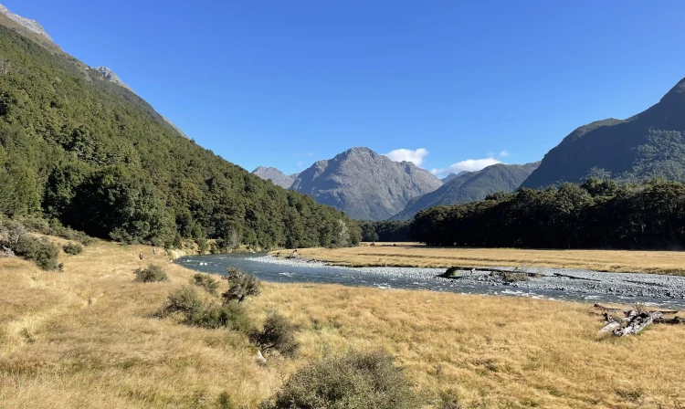
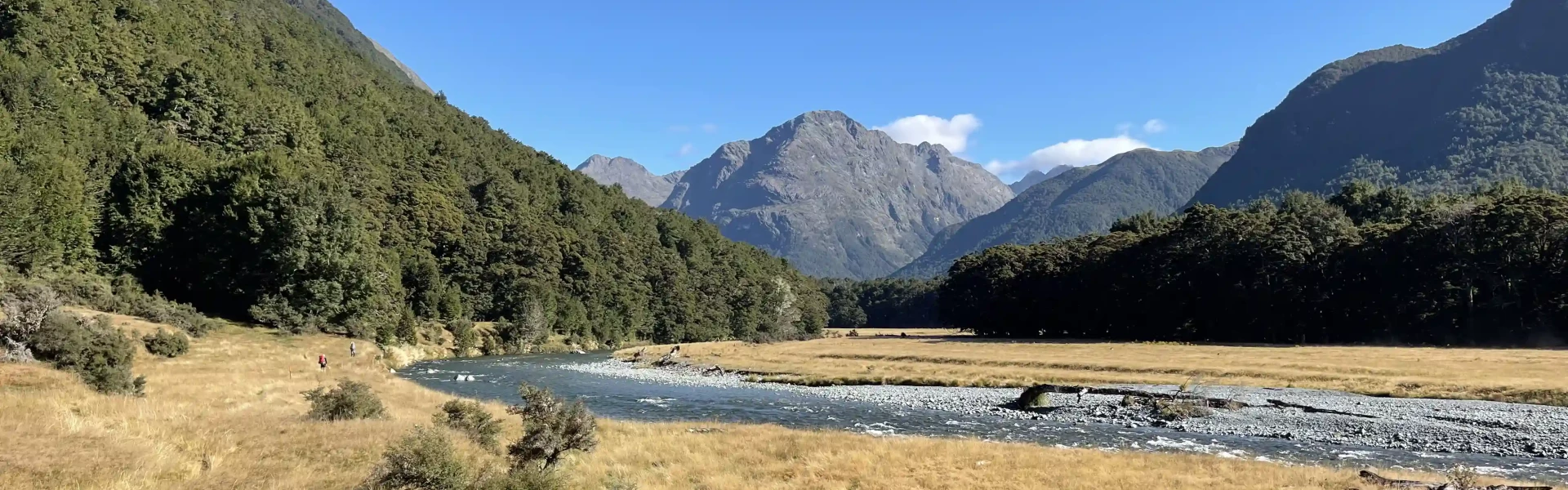
The Caples and Greenstone Valleys are linked by McKellar Saddle, a sub-alpine pass, to make a moderate 4-day round trip. It is a moderately demanding tramp with some days averaging 6-7 hours of walking. A reasonable degree of fitness is required. The Greenstone Valley is a wide, open valley with tussock flats and beech forest. In comparison, the Caples Valley is a narrower valley filled with forest interspersed with grassy clearings. Either of these tracks can be linked with the Routeburn Track, or they can be walked as a one-way track starting or finishing either at the Divide or the Greenstone Shelter.
The grassy river flats of the Caples and Greenstone Valleys are private farmland. Respect this and stay on the tracks which follow the forest edge. Cattle is present on the grassy lower flats, so water taken from the streams should be boiled or sterilised. In huts and the higher regions of the tracks, water is generally safe to drink but trampers may wish to treat it for their own protection. Side streams on these track systems may flood due to heavy or prolonged rain - in particular the Caples River and side streams above Upper Caples Hut, and Jean Batten Creek south of McKellar Hut. Care is required. Although the tracks are not closed in winter, avalanche danger may be present below Slip Flat in the lower Greenstone, and snow may make travel very difficult, even on the valley floors. Check with the Queenstown Visitor Centre for information on snow conditions.
There are multiple huts and campsites available. Mid Caples Hut , McKellar Hut and Greenstone Hut are managed by DOC. Bookings are required . DOC huts on the track are serviced with coal fires for heating only. All huts have mattresses. There is running water in summer months at all huts. Carry your own cookers as gas stoves are not provided. Hut wardens are present on the tracks from late October until mid-April. Backcountry Tickets must be purchased in advance from a DOC office or approved outlet. Please note that t he huts are excluded from the Backcountry Hut Pass from 1 October to 30 April. Mid Greenstone Hut and Upper Caples Hut are managed by the NZ Deerstalkers' Association and can be booked via these links. Camping is allowed along the bush edge, 50 metres from the track. You cannot camp on McKellar Saddle or on the open valley floors of the Caples or Greenstone Valleys as this is private land.
The Caples and Greenstone tracks start from the carpark at the end of Greenstone Road, 86 km from Queenstown, via Glenorchy. Use this location in Google Maps to find your way there. Alternatively, they can be started from Lake Howden outlet on the Routeburn Track, which is one hour's walk from The Divide on State Highway 94, 80 km from Te Anau on the road to Milford Sound. Use this location in Google Maps to find your way to The Divide. In summer, both ends of the tracks are serviced daily by various transport companies . Contact the operators for schedules.
We encourage you to continue gaining the skills and knowledge required for a safe trip. The NZ Mountain Safety Council has lots of free resources and information you can use. These can be accessed via www.mountainsafety.org.nz . We recommend trying these online learning tools: Trip Planning Tramping / field Skills Basic Navigation River Safety Additionally, check out the range of helpful videos available from the NZ Mountain Safety Council YouTube channel
Open to very heavy rain from the west which could cause rivers to rise rapidly - in particular, the Caples River and side streams above Upper Caples Hut, and Jean Batten Creek south of McKellar Hut. Care is required. Strong winds from the northwest are also prevalent when rain is expected. Be wary of southerly wind changes which can bring rapidly deteriorating conditions. Although the tracks are not closed in winter, avalanche danger may be present below Slip Flat in the lower Greenstone, and snow may make travel very difficult, even on the valley floors.
No dogs.
Track information, access and weather can change. Confirm current alerts and land-manager information close to departure, tell someone your plans, and carry equipment appropriate for the route and conditions.