10 October 2026
Scattered showers, possibly heavy and thundery with hail, easing this evening.
Loading outdoor place details…
Ruataniwha Conservation Park
Pass by fellfields (blocky scree) and short rock bluffs above Gretas Stream. This track is close to Lake Ōhau.
Distance
16 km
Walking time
6 to 7 hrs loop
Difficulty
Advanced
Dogs
On-lead only
Wheelchair access
Not marked friendly
Current status
Weather outlook
Issued 10 Oct 2026, 9:23 pm
10 October 2026
Scattered showers, possibly heavy and thundery with hail, easing this evening.
11 October 2026
Showers about the Divide, clearing in the evening, otherwise fine.
12 October 2026
Fine.
13 October 2026
Partly cloudy with isolated showers.
14 October 2026
Rain, with heavy falls.
Regional guidance only; elevation and terrain can produce different conditions.
Explore the area
Explore the track route and surrounding area before you set out.
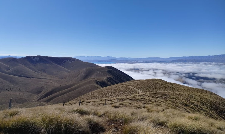
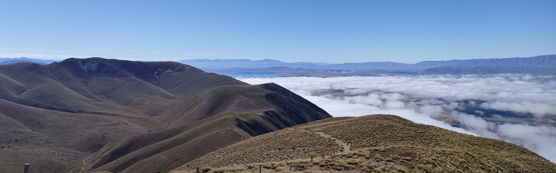
The first part of the track is a gentle, grassy ascent passing Back Hut , an old musterer’s hut from the 1890s. It is then a 5 km climb up the western flank of Ben Ohau/Ruataniwha Peak. You will need to deviate from the track to climb to the true summit at 1522 m. Pass by fellfields (blocky scree) and short rock bluffs above Greta Stream. Lower down you need to cross Greta Stream several times so prepare for wet feet. Note that cattle may be present between Greta and Dorcy Streams. To close the Greta Track loop, you’ll have to walk a few minutes down Glen Lyon Road.
The road leading to the trailhead is narrow and often requires careful manoeuvring to pass someone heading in the opposite direction. Drive slowly, especially around blind turns. The track is also used for mountain biking and horseback riding. Dogs are allowed but must be on a leash at all times. The track crosses over Greta Stream several times — expect to get your feet wet!
From Twizel, follow the canals until you reach the eastern mouth of Lake Ōhau. From there, you’ll need to drive up Glen Lyon Road until you reach the trailhead. The car park is grassy and has enough room for several cars. Use this location in Google Maps to find your way there.
We encourage you to continue gaining the skills and knowledge required for a safe trip. The NZ Mountain Safety Council has lots of free resources and information you can use. These can be accessed via www.mountainsafety.org.nz . We recommend trying these online learning tools: Trip Planning Tramping / field Skills Basic Navigation River Safety Additionally, check out the range of helpful videos available from the NZ Mountain Safety Council YouTube channel .
Dogs on a leash only.
Track information, access and weather can change. Confirm current alerts and land-manager information close to departure, tell someone your plans, and carry equipment appropriate for the route and conditions.