10 October 2026
Showers, possibly heavy and thundery with hail, easing this evening.
Loading outdoor place details…
Arthur's Pass National Park
Harper Pass was the main pathway to and from the west coast for Māori when trading for pounamu (greenstone). Follow this historic route from west to east. River-crossing skills are essential. This track is part of Te Araroa Trail.
Distance
77.71 km
Walking time
4-5 days
Difficulty
Advanced
Dogs
Not allowed
Wheelchair access
Not marked friendly
Current status
Weather outlook
Issued 10 Oct 2026, 9:23 pm
10 October 2026
Showers, possibly heavy and thundery with hail, easing this evening.
11 October 2026
Showers, becoming few and far between in the afternoon, then clearing to fine in the evening.
12 October 2026
Fine.
13 October 2026
A few showers developing.
14 October 2026
Rain, with heavy falls. Snow lowering to 2200 metres.
Regional guidance only; elevation and terrain can produce different conditions.
Explore the area
Explore the track route and surrounding area before you set out.
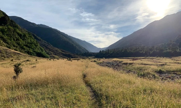
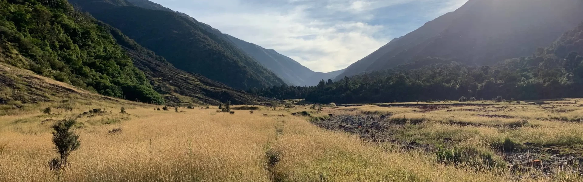
Harper Pass Route follows a traditional Māori path from North Canterbury to the West Coast. The eastern part, from Highway 7 to the Harper Pass summit, is relatively easy going through native forest, grassland and riverside paths. All rivers are bridged. The western side, between Harper Pass and Highway 73 at Aickens, is more challenging with a steep descent from the pass and two or more unbridged river crossings. These present no problems in dry conditions but can become hazardous after heavy rain. Trampers may be delayed by 1-2 days if the Taramakau and Otehake rivers are running high. Day 1: Windy Point to Hope Kiwi Lodge (7 hours, 15 km) Starting from the car park off Lewis Pass Road (SH 7) the route crosses a swing-bridge and climbs briefly on a rough track up a fence line to reach the forest. Hope Kiwi track undulates gently through pleasant forest and grassland, past the older Hope Halfway Hut and a swing-bridge across Hope River to reach Hope Kiwi Lodge (20 bunks) Day 2: Hope Kiwi Lodge to Hurunui Hut (5-6 hours, 17 km) After a long easy walk across open grassland the track climbs to Kiwi Saddle. A short side track promises a view of Lake Sumner, foliage permitting. The track returns to easy bush and lowland flats to cross Three Mile Stream via a swing-bridge. There are karearea (NZ native falcon) nesting in this area. They are strongly territorial so pass quickly and as discretely as possible and avoid action to harm these endangered native birds. The track leaves Lake Sumner and follows the Hurunui River for 4 km before turning sharply left to cross the river on a swing-bridge. At the end of the bridge the path briefly turns to the left (east) for a short climb up to the Harper Pass Track which now heads west above the true right of the Hurunui River for 1.5 km to Hurunui Hut . Day 3. Hurunui Hut to Hurunui No. 3 Hut (4-5 hours, 10 km) The track descends to the river flats and forest along the true right bank of the Hurunui. At the half-way point it passes a turn-off trail crossing the river towards Mackenzie Hut, 4km away. Approximately 35 minutes later the track drops down a small rock face and crosses a warm-water stream. 20 m beyond the stream crossing short side path leads to a natural hot pool. Day 4 Hurunui No. 3 Hut to Locke Stream Hut (7 hours, 15 km) After leaving Hurunui No. 3 Hut the trail crosses Cameron Stream on a 3-wire bridge. In low water conditions the stream can simply be forded. Cameron Hut, 40 minutes beyond Cameron Stream, is a small older-style 2-4 bunk shelter, with fireplace. It was partially rebuilt in early 2021. After Cameron Hut the track begins a slow climb up the river toward the pass. 40 minutes after Cameron Hut the track passes Harper Pass Bivvy, a cramped 2 bunk box suitable for emergency use. The path becomes steeper towards Harper Pass (alt. 962 m). The track descends steeply from the pass and is subject to erosion where it crosses streams that will become the Taramakau River. The first significant crossing to the left bank Taramakau is about 1.5 hours below the pass and has a substantial swing-bridge. This is the only bridge on the Taramakua River above the Otira River confluence at Aickens on SH 73. Shortly after the bridge the trail crosses substantial avalanche debris on the true left bank, requiring some rough scrambling. This stretch could be difficult in extreme weather. Locke Stream Hut (18 bunks) is 5km from the pass. Day 5 Locke Stream Hut to Morrisons Footbridge (6-8 hours 19 km) Below the hut the track continues across river flats, grassy river bank and an unbridged river crossing to return to the true right bank. River bank erosion may require some scrambling, but it is generally easy going to reach the broad flats near Kiwi Hut. Kiwi Hut (6 bunks) stands in bush above river flats and is accessed by an easy 0.5 km side trail approximately 8 km from Locke Stream Hut. Kiwi calls are frequently reported by hikers staying overnight and kiwi footprints can be spotted on muddy parts of the access track. Beyond Kiwi Hut the trail follows the true right of the Taramakau River using traces of a 4WD track before crossing to the true left about 6 km after the Kiwi Hut, just past Pfeifer Creek on the opposite back. This is an easy crossing in very dry conditions, but presents a significant hazard when flooded. Trampers have been delayed one or more days at Kiwi Hut waiting for the river to subside. An alternative route crossed the Taramakau 1 km from Kiwi Hut and then crossed the Otehake River above its confluence with the Taramakau, tackling the two rivers separately. This route has the disadvantage that the true left bank of the Taramakau below the Otehake confluence is badly obstructed by gorse, scrub and flood debris. Follow the 4WD track on the left bank to reach the Otira River. In low water condition it is possible to cross the river at the marked point to reach SH 73, or to walk up the river bed to Morrisons Footbridge. In high water condition take the more difficult 4 km flood track above the river bluffs.
It is recommended by DOC to begin from the west as clear weather is required before crossing the major rivers on this part of the trip, allowing for decision-making in your planning. Further understanding of Arthur’s Pass National Park weather and conditions is recommended, chat to the local Visitor Centre for recent conditions and recommended parking options for longer travel. Multiday tramps in New Zealand are remote and a suitable communications device such as a PLB is recommended.
Hope Kiwi Lodge : Serviced Hut, no bookings required, water from tap, heating, 20 bunks Hurunui Hut : Standard Hut, no bookings required, water from tap, heating, 15 bunks Hurunui No. 3 Hut: Standard Hut, no bookings required, water from tap, heating, 16 bunks Locke Stream Hut: Standard Hut, no bookings required, water from stream, heating, 18 bunks Kiwi Hut - Standard Hut, no bookings required, water from tap, heating, 6 bunks Bivvys along the way: Harper Pass Bivv y: 2 bunks Camerons Hut : 4 bunks, heating Hope Halfway Hut : 6 bunks
Track from SH 7 at Windy Point: Use this location in Google Maps to find your way there. Track from SH 73 at Morrisons Footbridge: Use this location in Google Maps to find your way there.
We encourage you to continue gaining the skills and knowledge required for a safe trip. The NZ Mountain Safety Council has lots of free resources and information you can use. These can be accessed via www.mountainsafety.org.nz . We recommend trying these online learning tools: Trip Planning Tramping / field Skills Basic Navigation River Safety Additionally, check out the range of helpful videos available from the NZ Mountain Safety Council YouTube channel .
No dogs.
Track information, access and weather can change. Confirm current alerts and land-manager information close to departure, tell someone your plans, and carry equipment appropriate for the route and conditions.