6 October 2026
Cloudy periods but long afternoon fine spells.
Loading outdoor place details…
Arthur's Pass National Park
A good introduction to backcountry tramping with multiple river crossings. This is a suitable trip for families if the river is not too high.
Distance
18 km
Walking time
6-8 hr
Difficulty
Advanced
Dogs
Not allowed
Wheelchair access
Not marked friendly
Current status
Weather outlook
Issued 5 Oct 2026, 9:24 pm
6 October 2026
Cloudy periods but long afternoon fine spells.
7 October 2026
Mostly cloudy with isolated showers, becoming widespread for a time in the morning and afternoon. Snow lowering to 1900 metres in the afternoon and evening.
8 October 2026
Mostly cloudy with isolated showers.
9 October 2026
Becoming fine.
10 October 2026
Rain developing, with snow to 2000 metres.
Regional guidance only; elevation and terrain can produce different conditions.
Explore the area
Explore the track route and surrounding area before you set out.
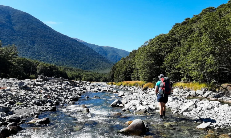
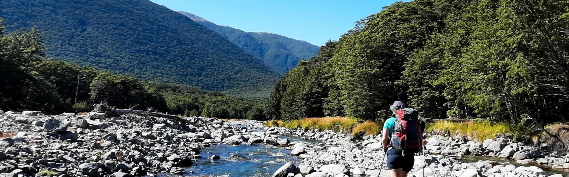
The track starts at Hawdon Shelter Campsite, accessed via Mt White Road. Follow the track for about 50 m, then head straight into the Hawdon Riverbed. This is where you’ll find the easiest crossings of the lower Hawdon River. If crossing is difficult here, conditions will be worse further on, so consider postponing your trip. After crossing the river, continue along the track through open terrain. Cross the stock fence and Sudden Valley Stream, then enter the forest for about 3 km. When you exit the forest, the track returns to the riverbed for a second Hawdon River crossing. Once across, follow the marked 4WD track to the East Hawdon River crossing. About 1 km upstream, cross the Hawdon River a third time. From here, the track mostly stays in the forest, with occasional short riverbed sections. Approximately 200 m before the hut, make the final crossing at Discovery Stream. This is the last river crossing of the route.
There are numerous river crossings along this route. Do not attempt this track during and after heavy rainfall. Rivers and major side streams can rise quickly and become dangerous. Ensure you have the latest weather information and that you are confident in assessing rivers and knowing how to cross them safely. How to cross rivers safely. DOC markers may not indicate the safest crossing point. You may need to walk upstream or downstream to find a more suitable place to cross. If travelling this route during rainy weather take spare food in case you are stuck in the hut by rising river levels. DOC staff use 4-wheel motorbikes to access the valley to protect the endangered kakariki/orange-fronted parakeet. Coloured markers and tape in the valley mark access points for DOC staff. Do not follow these markers. Follow only the standard orange track markers.
Hawdon Hut Hawdon Shelter Campsite
Follow SH73 to the signposted turnoff to Mt White Road. Then follow the gravel road over the bridge and take the first left to Hawdon Valley. Use this location o n Google Maps to help find your way there.
We encourage you to continue gaining the skills and knowledge required for a safe trip. The NZ Mountain Safety Council has lots of free resources and information you can use. These can be accessed via www.mountainsafety.org.nz . Level up in your outdoor knowledge with these interactive online learning tools: Trip Planning Tramping / field Skills Basic Navigation River Safety Additionally, check out the range of helpful videos available from the NZ Mountain Safety Council YouTube channel .
No dogs.
Track information, access and weather can change. Confirm current alerts and land-manager information close to departure, tell someone your plans, and carry equipment appropriate for the route and conditions.