10 October 2026
Mostly cloudy, with the odd shower. Northeasterlies.
Loading outdoor place details…
Kaimai Mamaku Conservation Park
This steep track is best suited to more experience trampers. It can be combined with other tracks to make a loop walk, or used to access longer tramps in the upper Waiorongomai Valley track network.
Distance
4.3 km
Walking time
2 hr 30 min
Difficulty
Advanced
Dogs
Not allowed
Wheelchair access
Not marked friendly
Current status
No active alerts found. Conditions can still change, so check again before leaving.
Weather outlook
Issued 10 Oct 2026, 4:55 pm
10 October 2026
Mostly cloudy, with the odd shower. Northeasterlies.
11 October 2026
Showers, possibly heavy, clearing to fine spells in the afternoon. Periods of rain developing in the evening. Northwesterlies.
12 October 2026
Occasional rain, clearing north of Hamilton in the evening but remaining cloudy. Northerlies developing for a time in the morning and afternoon.
13 October 2026
A few showers. Northwesterlies, dying out in the evening.
14 October 2026
A few showers. Northwesterlies developing in the morning.
Regional guidance only; elevation and terrain can produce different conditions.
Explore the area
Explore the track route and surrounding area before you set out.
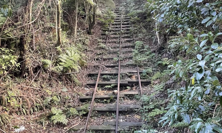
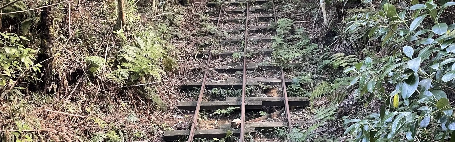
This track climbs steadily up the valley towards the Waiorongomai saddle. It closely followed the path of the Piako County Tramway to give access to the upper valley for miners and packhorses. Follow the signs to the High-Level Pack Track from the car park. Continue straight on at the junctions with the Low-Level Loop and the Buck Rock Track, which is reached after about 30 min. The path crosses a number of streams before ascending to a bridge across Butlers Incline. The following junction gives access to a number of other tracks, and opportunities for a variety of loop walks up to 6 hr duration. The High Level Pack Track branches to the left and continues upwards, passing several mine portals and waterfalls. It levels out just before the old mining camp known as Quartzville and then descends to a junction just above the May Queen Incline. Return the same way or do a loop walk by taking the Low Level Loop heading south. Longer tramps are accessible by continuing north from the May Queen Incline up the Mangakino Pack Track link to Waiorongomai saddle, and then on to Waitawheta, Karangahake and other destinations
This terrain is steep. It experiences alpine weather and the temperature at the summit can be far colder than temperatures in Te Aroha. Even if it’s warm in the town, pack plenty of warm layers, a waterproof raincoat and wear sturdy boots or tramping shoes. Mountain biking is not allowed on this track. Dogs are not permitted on this track. Mine tunnels and shafts are very dangerous and may be hidden by vegetation. To enjoy this place safely: Keep to official marked tracks Do not enter tunnels unless they are clearly marked for public access
From Te Aroha, travel south for approximately 5 km on Te Aroha Gordon Rd then turn left into Waiorongomai Rd. The track starts from the carpark at the end of Waiorongomai Rd. Use this location o n Google Maps to help find your way there.
We encourage you to continue gaining the skills and knowledge required for a safe trip. The NZ Mountain Safety Council has lots of free resources and information you can use. These can be accessed via www.mountainsafety.org.nz . Level up in your outdoor knowledge with these interactive online learning tools: Trip Planning Tramping / field Skills Basic Navigation River Safety Additionally, check out the range of helpful videos available from the NZ Mountain Safety Council YouTube channel .
No dogs.
Track information, access and weather can change. Confirm current alerts and land-manager information close to departure, tell someone your plans, and carry equipment appropriate for the route and conditions.