11 October 2026
Showers, possibly heavy this morning, clearing to fine spells early afternoon, but returning this evening. Northwesterlies developing this morning, dying out this evening.
Loading outdoor place details…
Kaimai Mamaku Conservation Park
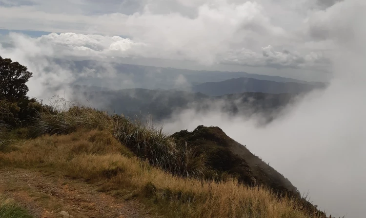
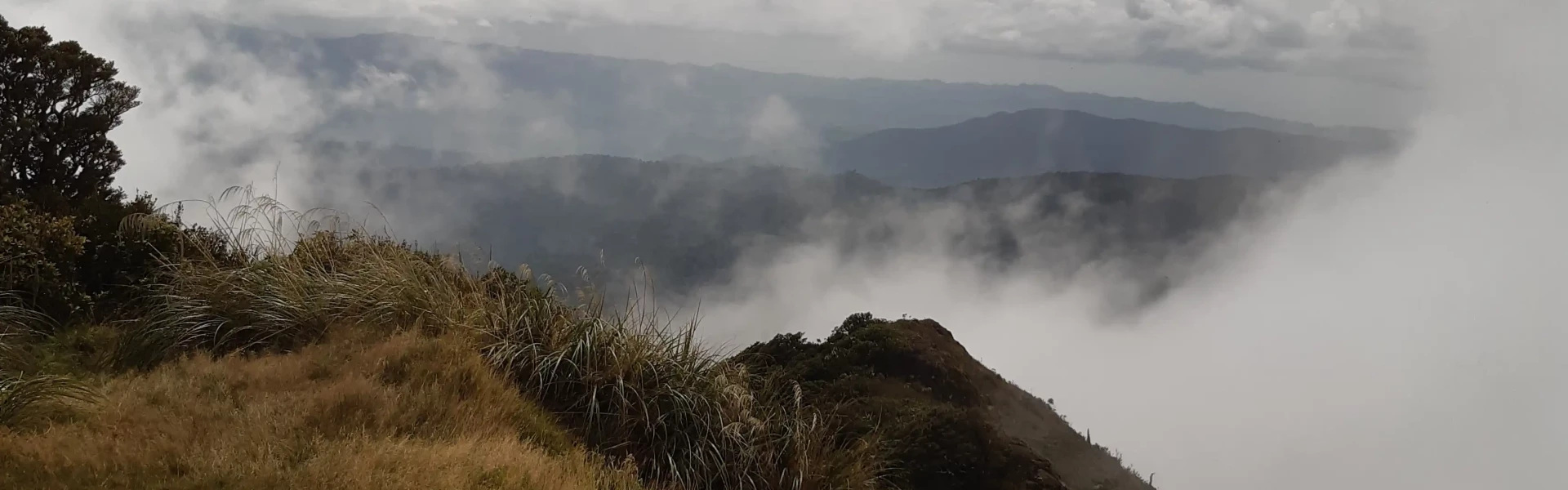
A steep walk to the top of Mt Te Aroha, with spectacular views over the Waikato and Bay of Plenty. This track is the most direct route to the summit.
Distance
7.8 km
Walking time
5 hours return
Difficulty
Advanced
Dogs
Not allowed
Wheelchair access
Not marked friendly
Current status
No active alerts found. Conditions can still change, so check again before leaving.
Weather outlook
Issued 11 Oct 2026, 11:03 am
11 October 2026
Showers, possibly heavy this morning, clearing to fine spells early afternoon, but returning this evening. Northwesterlies developing this morning, dying out this evening.
12 October 2026
Occasional rain. Northwesterlies developing before dawn.
13 October 2026
A few showers. Northwesterlies developing in the morning.
14 October 2026
A few showers. Northwesterlies developing in the morning.
15 October 2026
A period of rain with heavy falls, otherwise a few showers. Northerlies, turning westerly in the morning.
Regional guidance only; elevation and terrain can produce different conditions.
Explore the area
Explore the track route and surrounding area before you set out.
Time: 3 hours to the summit + 2 hours back down. (7.8km) Follow the track from the Mokena Geyser in the Te Aroha Domain up the well graded track for 45 minutes to the Whakapipi Lookout which offers views over the Hauraki Plains. The Kaimai-Mamaku Conservation Park begins just above the lookout. The track continues through a small saddle and then steeply up for another two hours to reach the summit. The track becomes steep and the surface is rough. Mount Te Aroha provides 360 degree views across the Waikato and Bay of Plenty. Ruapehu, Ngāuruhoe and Taranaki are visible on a clear day. Be prepared for alpine weather conditions at the summit. The most direct route to return is back down the same track. To make an interesting loop walk, head to Tui Mine on the Mount Te Aroha Summit Loop
Expect a steep and rough track: You need good fitness for this track – it climbs almost 1 km in height over a 3.9 km track. This means it is very steep. The track is rough, so wear comfortable hiking boots/shoes with good grip and ankle support. Be prepared for it to be cold and windy: It can be very cold near the summit, where you may experience alpine weather. It is likely to be far colder than in Te Aroha. Even if it’s warm in the town, pack plenty of warm layers and a waterproof raincoat. No water on track: There are no water sources on the track and the long climb means walkers need lots of water. We recommend carrying 2-3 L of water per person. No dogs: Dogs are not permitted on this track.
The track starts near Mokena Geyser in Te Aroha Domain, with the closest parking available on Korimako St. Use this location in Google Maps to find your way there.
We encourage you to continue gaining the skills and knowledge required for a safe trip. The NZ Mountain Safety Council has lots of free resources and information you can use. These can be accessed via www.mountainsafety.org.nz . Level up in your outdoor knowledge with these interactive online learning tools: Trip Planning Tramping / field Skills Basic Navigation River Safety Additionally, check out the range of helpful videos available from the NZ Mountain Safety Council YouTube channel .
No dogs.
Track information, access and weather can change. Confirm current alerts and land-manager information close to departure, tell someone your plans, and carry equipment appropriate for the route and conditions.