10 October 2026
Mostly cloudy with showers, mainly about the ranges where some may be heavy. Northeasterlies, becoming strong in exposed places this afternoon.
Loading outdoor place details…
Haast, Paringa and Moeraki rivers area
This track was built in 1875 by farmers at Haast. Stock were driven from the Landsborough and Cascade valleys to sale yards at Whataroa.
Distance
34.11 km
Walking time
3 days
Difficulty
Advanced
Dogs
Allowed — check local rules
Wheelchair access
Not marked friendly
Current status
No active alerts found. Conditions can still change, so check again before leaving.
Weather outlook
Issued 10 Oct 2026, 4:55 pm
10 October 2026
Mostly cloudy with showers, mainly about the ranges where some may be heavy. Northeasterlies, becoming strong in exposed places this afternoon.
11 October 2026
Showers, possibly heavy, retreating to the ranges in the afternoon, clearing in the evening. Northeasterlies, dying out in the afternoon.
12 October 2026
Fine. Northerlies developing for a time in the afternoon.
13 October 2026
Rain becoming persistent in the morning. Light winds.
14 October 2026
Rain with heavy falls easing to a few showers in the afternoon. Light winds.
Regional guidance only; elevation and terrain can produce different conditions.
Explore the area
Explore the track route and surrounding area before you set out.
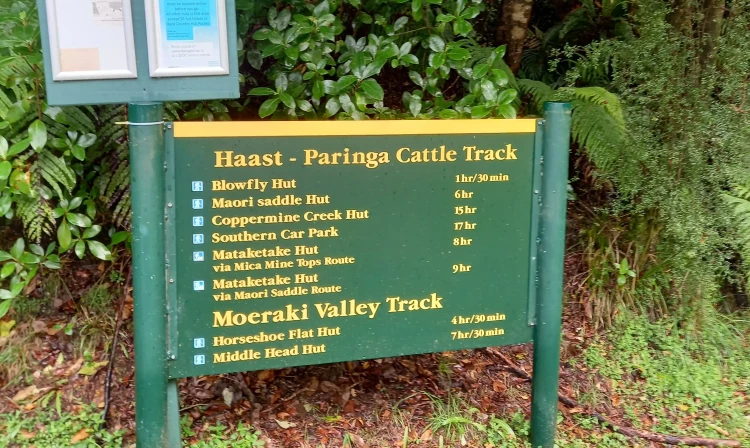
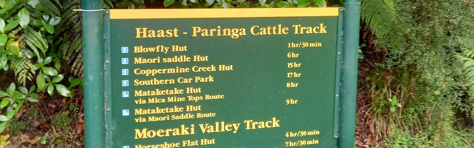
Time: 1 hr 30 min Distance: 3.8 km The track to Blowfly Hut deviates from the original cattle track to avoid wetlands before returning to it about 15–20 minutes further down the track. It follows the Moeraki River on a well-benched, flat path to a junction about an hour in. From there, Blowfly Hut is a 15-minute walk across a swing bridge to the left. To continue on the Historic Haast to Paringa Cattle Track, take the turn-off to the right just before the hut.
Time: 4 hr 30 min Distance: 10.1 km The track to Māori Saddle climbs steadily through mixed beech, rimu, and kāmahi forest, passing stone culverts built by mica miners. Near the helipad, 5 minutes before the Mica Mine Tops Route junction, there’s a historic miner’s campsite. The track can be rough, with multiple stream crossings that become challenging in heavy rain. Some sections have been diverted due to slips but are well marked. Beech trees grow large here, and relics of an old telegraph line can still be seen along the way. Māori Saddle Hut
Time: 7 - 9 hr Distance : 14.3 km This mostly downhill section follows markers past diversions, overgrown areas, windfalls, and slips, including Slippery Face near Robinson Creek on the alpine fault line. The track then turns north, following a fence line to Coppermine Creek, where the Coppermine Creek Hut sits on the true right. From there, it's a two-hour walk to the highway.
The route is well marked and has a wide walking width of about two metres for most of its length, but you can expect to encounter slips and fallen trees in places. The track crosses numerous small creeks, which flood quickly in heavy rain, and you should wait until water levels drop before proceeding.
Access to the north end of the track is signposted approximately 40 km northeast of Haast on SH6 at the Windbag Saddle. There is a small parking area on the side of the road (the sign is labelled Haast - Paringa Cattle Track). Use this location on Google Maps to help find your way there. The south end of the track is marked by a gate just south of the Waita River Bridge about 11 km north of Haast Junction.
We encourage you to continue gaining the skills and knowledge required for a safe trip. The NZ Mountain Safety Council has lots of free resources and information you can use. These can be accessed via www.mountainsafety.org.nz . We recommend trying these online learning tools: Trip Planning Tramping / field Skills Basic Navigation River Safety Additionally, check out the range of helpful videos available from the NZ Mountain Safety Council YouTube channel
Dogs with a DOC permit only. Contact closest DOC office to get a permit.
Track information, access and weather can change. Confirm current alerts and land-manager information close to departure, tell someone your plans, and carry equipment appropriate for the route and conditions.