10 October 2026
Cloudy periods. Isolated showers, becoming confined to the ranges in the evening. Light winds.
Loading outdoor place details…
Tongariro National Park
Walk to the historic Waihohonu Hut, built in 1903/04 and used as a stopover for stage coaches.
Distance
6.3 km
Walking time
1 hr 40 min one way
Difficulty
Advanced
Dogs
Not allowed
Wheelchair access
Not marked friendly
Current status
Weather outlook
Issued 10 Oct 2026, 4:55 pm
10 October 2026
Cloudy periods. Isolated showers, becoming confined to the ranges in the evening. Light winds.
11 October 2026
Showers, possibly heavy, clearing in the afternoon with increasing fine spells. Northerlies, turning westerly around midday.
12 October 2026
Showers becoming isolated in the morning but remaining cloudy. Northwesterlies developing before dawn.
13 October 2026
A few showers. Northwesterlies developing in the morning.
14 October 2026
Mostly cloudy with a few showers developing in the morning. Northwesterlies developing in the morning.
Regional guidance only; elevation and terrain can produce different conditions.
Explore the area
Explore the track route and surrounding area before you set out.
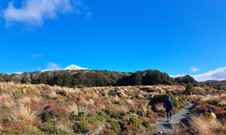
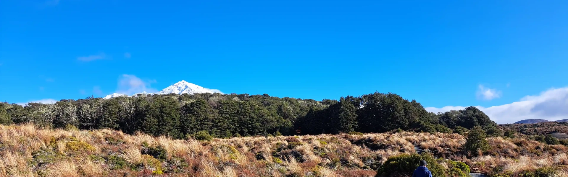
The track meanders through beech forest and open tussockland, crossing the Ohinepango Stream. The track emerges at the new Waihohonu Hut, continue straight ahead towards Tama Lakes for about 5 minutes to the next junction. Turn left to reach the historic Waihohonu Hut. This track can be used to access the Round the Mountain Track and the Tongariro Northern Circuit , or return to the car park via the same track.
Waihohonu Hut
The track starts on Desert Road (SH 1), 35 km south of Tūrangi or 28 km north of Waiouru. The track is sign posted on the mountain side of the road approximately 150 m south from the Rangipo Intake Road. Use this location on Google Maps to help find your way there.
We encourage you to continue gaining the skills and knowledge required for a safe trip. The NZ Mountain Safety Council has lots of free resources and information you can use. These can be accessed via www.mountainsafety.org.nz . We recommend trying these online learning tools: Trip Planning Tramping / field Skills Basic Navigation River Safety Additionally, check out the range of helpful videos available from the NZ Mountain Safety Council YouTube channel
No dogs.
Track information, access and weather can change. Confirm current alerts and land-manager information close to departure, tell someone your plans, and carry equipment appropriate for the route and conditions.