9 October 2026
Mostly cloudy, low about the foothills, but fine about the Mackenzie Basin.
Loading outdoor place details…
Castle Hill
This shared-use track, developed by the Castle Hill Community and Department of Conservation, connects Castle Hill Village with Texas Flat on the Cheeseman Ski Field Road.
Distance
15.68 km
Walking time
2 hours one way | 3 hours return
Difficulty
Easy
Dogs
Allowed — check local rules
Wheelchair access
Not marked friendly
Current status
No active alerts found. Conditions can still change, so check again before leaving.
Weather outlook
Issued 9 Oct 2026, 9:24 pm
9 October 2026
Mostly cloudy, low about the foothills, but fine about the Mackenzie Basin.
10 October 2026
Cloud, low about the foothills, breaking up in the morning. Scattered showers developing in the afternoon, possibly heavy and thundery with hail.
11 October 2026
Fine, apart from showers before dawn.
12 October 2026
Fine.
13 October 2026
A few showers.
Regional guidance only; elevation and terrain can produce different conditions.
Explore the area
Explore the track route and surrounding area before you set out.
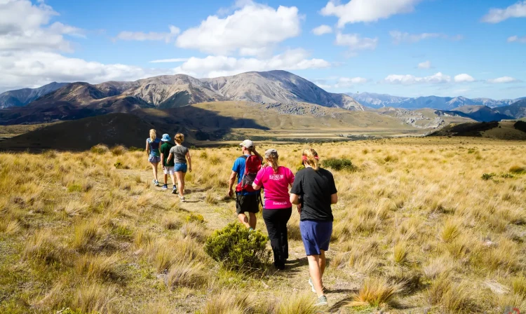
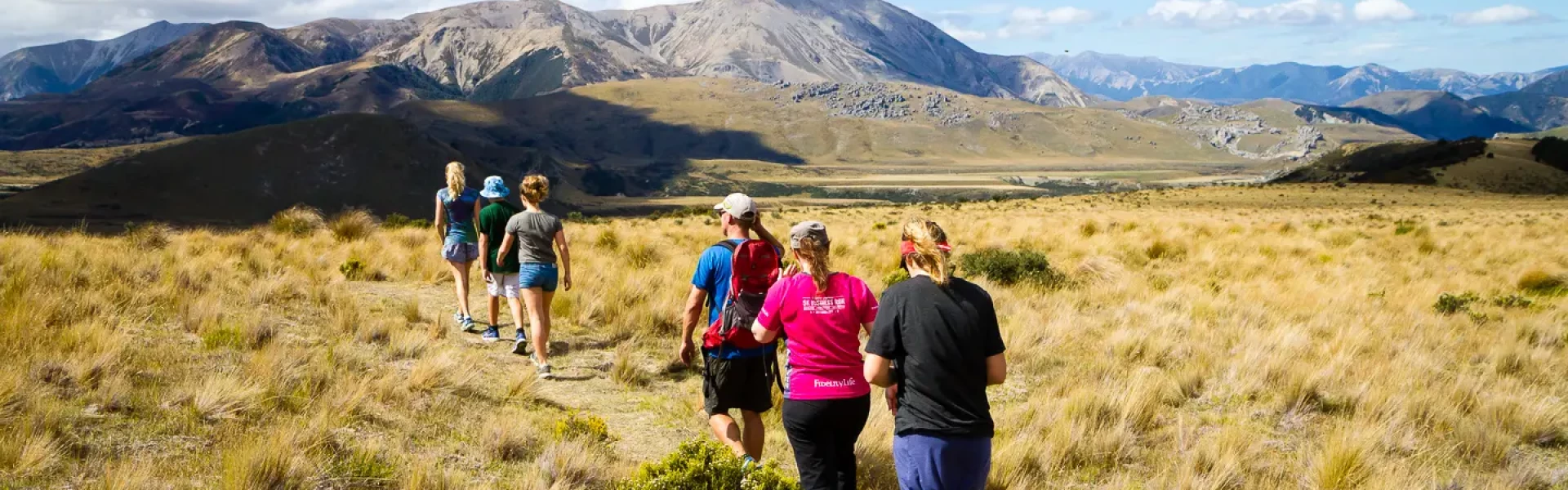
For a one way trip, we recommend starting from Texas Flat on the Cheeseman Skifield access road. This takes around two hours. Alternatively, for a three-hour return trip, begin from Thomas Bush to the north-west of Castle Hill Village, and head up to Picnic Rock, before returning back. From Texas Flat, a gentle climb takes you up through lovely tussock to the high point of the track at Picnic Rock where there are great views across the Castle Hill basin. After passing the Ground Effect switchbacks, undulating beech forest and open tussock takes you to the bridge at Waterfall Creek. A rocky section then leads to open alpine meadows before back into the beech forest and a ford at Long Creek. A couple of shingle fans and a steady climb up to the remains of the Lightning Tree before a rolling downhill across more tussock and then dropping more steeply through the beech forest of Thomas Bush to finish at the car park on the outskirts of Castle Hill Village. Note: If you’re riding this trail from the village, use the Easy Out track which joins Hogs Back Track higher up on Long Spur. The Easy Out track starts approx only 50m further up the Water Intake road from the car park.
Some of the Craigieburn Trails suffer from frost heave during the colder parts of the year, and as a result, we consider them closed to biking over the winter months (generally mid-late Autumn to early/mid Spring). It can still be possible to walk these trails, however you'll need to be prepared for ice and muddy conditions when the ground isn't covered in snow. The community asks bikers to respect these track closures as otherwise it means more work in the spring for our hard-working volunteers, and/or potentially diverting valuable donations/funding to unnecessary track maintenance when it could be going towards new track development.
For a one way walk with more downhill than up, arrange to be dropped off at Texas Flat on the Mt Cheeseman Road. Use this location in google maps to find your way there. Alternatively, start and finish from the Thomas Bush carpark at the end of Castle Hill Drive.
We encourage you to continue gaining the skills and knowledge required for a safe trip. The NZ Mountain Safety Council has lots of free resources and information you can use. These can be accessed via www.mountainsafety.org.nz . We recommend trying these online learning tools: Trip Planning Tramping / field Skills Basic Navigation River Safety Additionally, check out the range of helpful videos available from the NZ Mountain Safety Council YouTube channel
Track information, access and weather can change. Confirm current alerts and land-manager information close to departure, tell someone your plans, and carry equipment appropriate for the route and conditions.