10 October 2026
Cloudy periods. The odd shower from afternoon, mainly about the ranges. Northerlies developing early afternoon.
Loading outdoor place details…
Orokawa Scenic Reserve
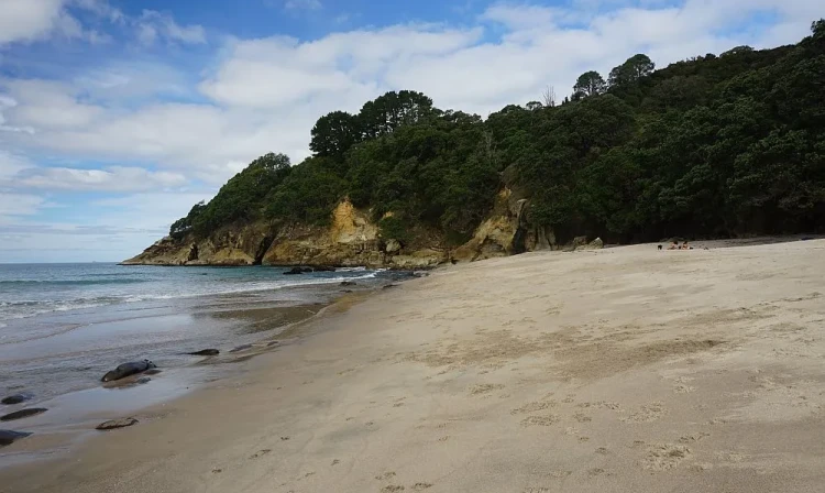
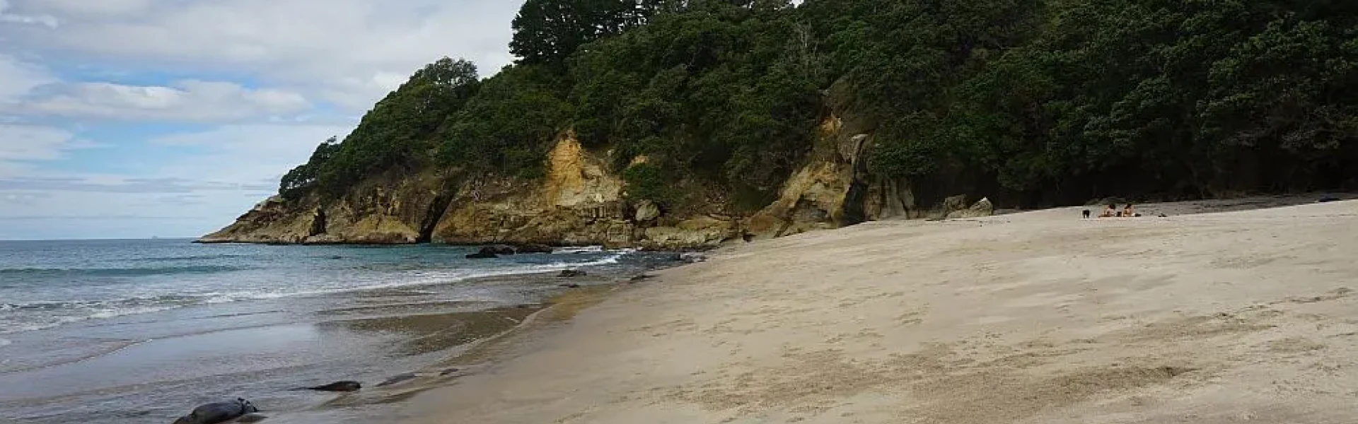
The track winds around the coast from the northern end of Orokawa Bay.
Distance
2.69 km
Walking time
2 hrs one way
Difficulty
Advanced
Dogs
Not allowed
Wheelchair access
Not marked friendly
Current status
Weather outlook
Issued 10 Oct 2026, 10:55 am
10 October 2026
Cloudy periods. The odd shower from afternoon, mainly about the ranges. Northerlies developing early afternoon.
11 October 2026
Mostly cloudy with isolated showers, becoming widespread and heavier for a time in the morning and afternoon. Northerlies developing for a time in the morning and afternoon.
12 October 2026
A few showers. Northwesterlies developing for a time in the afternoon.
13 October 2026
Partly cloudy, with isolated showers clearing in the evening. Northwesterlies developing in the morning.
14 October 2026
Mostly cloudy with a few showers developing in the morning. Northwesterlies developing in the morning.
Regional guidance only; elevation and terrain can produce different conditions.
Explore the area
Explore the track route and surrounding area before you set out.
This track is well-developed and maintained, providing spectacular views and interesting terrain as it heads north from the Orokawa Scenic Coastal Track , winding around headlands to Homunga Bay, a popular fishing spot. You can explore Homunga Bay before returning the same way. Another entrance to this track is the Homunga Bay from Ngatitangata Road track. If you decide to start and return at Ngatitiangata Road, please be aware that the path is a long, steep climb.
The coastline is dangerous. Several people have died while rock fishing near Homunga Bay so please take the time to learn about how to be safe while fishing .
This track is accessed from the Orokawa Scenic Coastal Track or from the Homunga Bay from Ngatitangata Road track.
We encourage you to continue gaining the skills and knowledge required for a safe trip. The NZ Mountain Safety Council has lots of free resources and information you can use. These can be accessed via www.mountainsafety.org.nz . Level up in your outdoor knowledge with these interactive online learning tools: Trip Planning Tramping / field Skills Basic Navigation River Safety Additionally, check out the range of helpful videos available from the NZ Mountain Safety Council YouTube channel .
Track information, access and weather can change. Confirm current alerts and land-manager information close to departure, tell someone your plans, and carry equipment appropriate for the route and conditions.