10 October 2026
Cloud increasing, and light showers developing this evening.
Loading outdoor place details…
Fiordland National Park
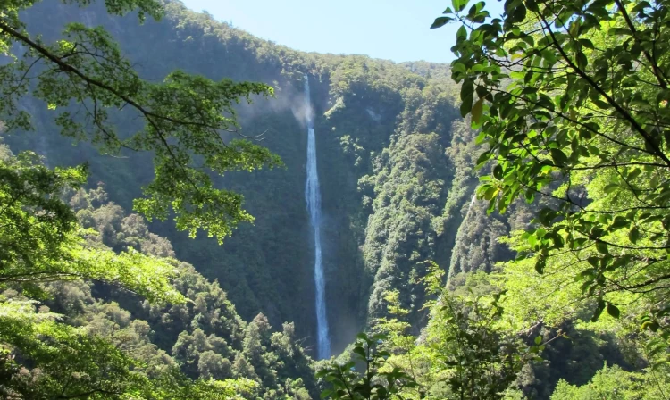
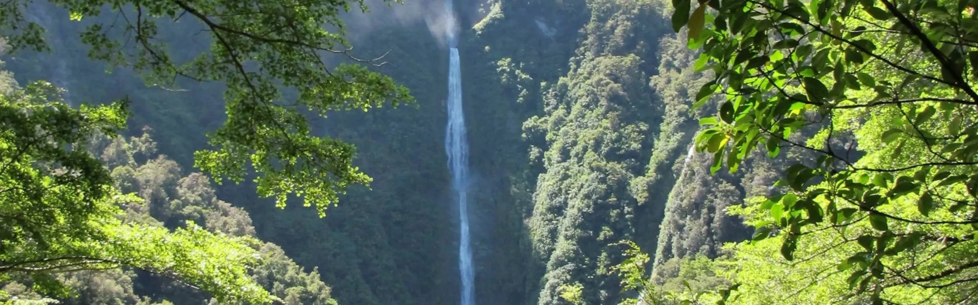
This easy, well graded walking track from the Hollyford Road takes you on a short climb through rainforest to the lookout of the impressive Humboldt Falls.
Distance
1.2 km
Walking time
30 min
Difficulty
Easy
Dogs
Not allowed
Wheelchair access
Not marked friendly
Current status
No active alerts found. Conditions can still change, so check again before leaving.
Weather outlook
Issued 10 Oct 2026, 9:23 pm
10 October 2026
Cloud increasing, and light showers developing this evening.
11 October 2026
Scattered showers, becoming confined south of Doubtful Sound in the afternoon.
12 October 2026
Partly cloudy, with one or two morning showers south of Secretary Island.
13 October 2026
Heavy rain developing, with snow to 2400 metres.
14 October 2026
Rain, with snow to 1900 metres, turning to showers.
Regional guidance only; elevation and terrain can produce different conditions.
Explore the area
Explore the track route and surrounding area before you set out.
This well maintained track starts at the end of the Hollyford Road. From the carpark the track climbs gently through beautiful beach to a viewing platform. Humboldt Falls is seen here from a distance where you look out to the 275 metre high waterfall. This is a great option if exploring Fiordland on a wet day with the crown and kidney ferns looking fantastic in the rain and you can combine this with other short walks for a day trip from Te Anau.
There is a long drop toilets at the road end with the track starting just opposite this No dogs allowed in this area Not suitable for wheelchairs/buggies on this track
Humboldt Falls Carpark is about a 1.5-2 hour drive from Te Anau. Follow SH 94 from Te Anau towards Milford Sound and after The Divide turn off down the Lower Hollyford Road Junction and follow this to the end. The Lower Hollyford Road is about 18km and 17km is on unsealed gravel road. The Humboldt Falls tracks starts 100m before the Hollyford Track on the right hand side of the road opposite the toilet. There are no shuttles to the Hollyford Road so you will need your own transport The Hollyford Road has been reopened in 2021 after some severe flooding in 2020 that washed out many parts of the road. Use this location in Google Maps to find your way there.
We encourage you to continue gaining the skills and knowledge required for a safe trip. The NZ Mountain Safety Council has lots of free resources and information you can use. These can be accessed via www.mountainsafety.org.nz . We recommend trying these online learning tools: Trip Planning Tramping / field Skills Basic Navigation River Safety Additionally, check out the range of helpful videos available from the NZ Mountain Safety Council YouTube channel .
No dogs.
Track information, access and weather can change. Confirm current alerts and land-manager information close to departure, tell someone your plans, and carry equipment appropriate for the route and conditions.