10 October 2026
Cloudy with showers increasing mainly inland this afternoon, possibly heavy, becoming rain at night. Northeasterlies.
Loading outdoor place details…
Abel Tasman National Park
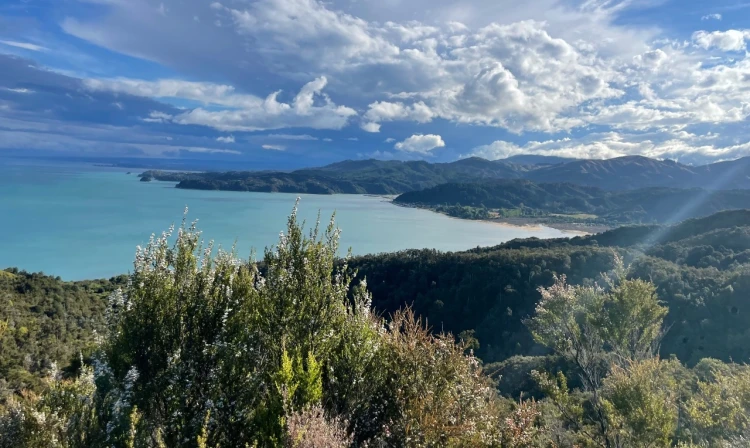
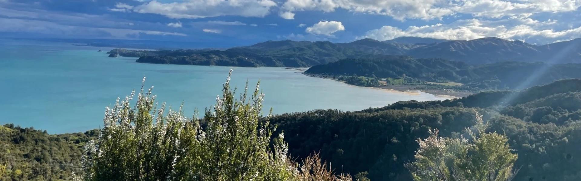
Inland Track travels through regenerating and undisturbed forest where tui, bellbirds and other wildlife can be seen. Occasional granite outcrops offer excellent views of the coast.
Distance
41.1 km
Walking time
3 days
Difficulty
Advanced
Dogs
Not allowed
Wheelchair access
Not marked friendly
Current status
No active alerts found. Conditions can still change, so check again before leaving.
Weather outlook
Issued 10 Oct 2026, 4:55 pm
10 October 2026
Cloudy with showers increasing mainly inland this afternoon, possibly heavy, becoming rain at night. Northeasterlies.
11 October 2026
Rain at first, possibly heavy, then showers easing in the afternoon, clearing early evening. Northerlies, turning westerly in the afternoon.
12 October 2026
Fine, but becoming mostly cloudy with isolated showers in the evening. Northerlies developing for a time in the afternoon.
13 October 2026
Occasional rain clearing in the afternoon, then partly cloudy. Light winds.
14 October 2026
Occasional rain, with some heavy falls. Northerlies, turning westerly in the afternoon.
Regional guidance only; elevation and terrain can produce different conditions.
Explore the area
Explore the track route and surrounding area before you set out.
Time : 5 hr 30 min Distance : 15.1 km From Marahau, follow the Coast Track to Tinline Bay, where the Inland Track begins. It climbs steadily, then steeply, through regenerating forest. After 2.5 hours, reach Holyoakes Shelter . The track then enters the forest, continuing uphill to Castle Rock Hut , which offers wide views of Marahau Valley and Tasman Bay.
Time : 6 hr Distance : 13 km From Castle Rock Hut, the track heads north, then west, climbing steeply before leveling off and undulating. After 2 hours (3.5 km), reach Moa Park Shelter, surrounded by tussock. Side tracks lead to lookouts, including Porter Rock with excellent views. The track then crosses a stream, re-enters stunted beech forest, and descends gradually along Evans Ridge to Awapoto Hut.
Awapoto Hut to Pigeon Saddle Time : 3 hr Distance : 5 km Beyond Awapoto Hut, the track climbs steeply before easing, then descends sharply to the road at Pigeon Saddle. Expect to be scrambling up and down tree root covered hillside. Pigeon Saddle to Wainui carpark Time : 2 hr 25 min Distance : 8 km The track climbs slightly past a viewpoint turn-off, then levels before a short ascent up Gibbs Hill. From here, enjoy some of the park’s best views as the track descends steeply to a saddle on the Wainui–Whariwharangi section of the Abel Tasman Coast Track. At the saddle, an easy 45-minute descent leads to the Wainui car park.
Continue straight at the saddle and head towards Whariwharangi Hut and Whariwharangi Bay campsite . Then follow the Separation Point Track left to head to Separation Point or right for a shorter option to Mutton Cove campsite . Mutton Cove Camp to Totaranui Camp Track takes you past Anapai Bay campsite and onto the Coastal Track that ends at Tōtaranui and the Tōtaranui Great Walk campsite .
There are no major rivers or mountain passes so this track can be done year-round. Weather in Abel Tasman National Park is generally mild but you should be prepared for high winds and heavy rain and carry spare warm clothes all year. Snow falls occasionally around Moa Park and upper Evans Ridge. The track is extensively marked with decent signage and there are topographical maps that are on display at each road end. No rubbish facilities are provided; all rubbish must be carried out of the park Fires are only allowed in fireplaces at huts. Use only dead wood. Be aware Giardia has been found in some park waters. It can be removed from drinking water by boiling, chemical treatment or filtering. Wasps are a known hazard and are particularly common from December until April. Carry antihistamine if you are allergic to their stings.
The Inland Track can be walked in either direction. Marahau , the southern gateway, is 67 km from Nelson. Wainui carpark , the northern gateway, is 125 km from Nelson.
We encourage you to continue gaining the skills and knowledge required for a safe trip. The NZ Mountain Safety Council has lots of free resources and information you can use. These can be accessed via www.mountainsafety.org.nz . We recommend trying these online learning tools: Trip Planning Tramping / field Skills Basic Navigation River Safety Additionally, check out the range of helpful videos available from the NZ Mountain Safety Council YouTube channel
No dogs.
Track information, access and weather can change. Confirm current alerts and land-manager information close to departure, tell someone your plans, and carry equipment appropriate for the route and conditions.