9 October 2026
Cloud about the tops.
Loading outdoor place details…
Kahurangi National Park
Beautiful native forest and gold-mining relics are the main attractions of the Kaituna Valley. To walk the whole track takes 8-9 hours, or there are shorter walks from 20 minutes to 2 hours.
Distance
17.47 km
Walking time
8-9 hr or shorter walks from 20 min to 2 hr
Difficulty
Expert
Dogs
Not allowed
Wheelchair access
Not marked friendly
Current status
No active alerts found. Conditions can still change, so check again before leaving.
Weather outlook
Issued 9 Oct 2026, 7:33 am
9 October 2026
Cloud about the tops.
10 October 2026
Cloud increasing with showers developing in the morning, becoming rain at night.
11 October 2026
Rain clearing to fine in the afternoon.
12 October 2026
Partly cloudy with isolated showers.
13 October 2026
Partly cloudy.
Regional guidance only; elevation and terrain can produce different conditions.
Explore the area
Explore the track route and surrounding area before you set out.
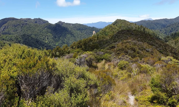
The track begins at the car park at the end of Carters Road and extends all the way to Westhaven Inlet on the West Coast, a challenging 8–9-hour trek. Most visitors opt for shorter walks, such as a 20-minute stroll to the old Kaituna gold workings or a 2-hour return trip to Kaituna Forks. From the car park, cross Little Granity Creek via a footbridge and follow the farm track for 400 meters to the start of the trail. A short side track showcases remnants of gold sluicing operations, water races, tailing piles, and a small cave before rejoining the main track. Beyond Kaituna Forks, the trail transitions into a marked "route," suitable only for experienced and fit trampers. The river crossing at the forks becomes impassable during floods, so caution is advised. Strong navigation skills are required as the route is unmaintained. The route continues for another 5–6 hours, climbing two ridges and crossing two streams before traversing an open pahiki area to the base of Knuckle Hill. Here, it connects with an old logging road that descends to the car park on Dry Road.
Use these locations on Google Maps to help find your way to the start of the track on Carters Road , and the end of the track on Dry Rd.
We encourage you to continue gaining the skills and knowledge required for a safe trip. The NZ Mountain Safety Council has lots of free resources and information you can use. These can be accessed via www.mountainsafety.org.nz . We recommend trying these online learning tools: Trip Planning Tramping / field Skills Basic Navigation River Safety Additionally, check out the range of helpful videos available from the NZ Mountain Safety Council YouTube channel
No dogs.
Track information, access and weather can change. Confirm current alerts and land-manager information close to departure, tell someone your plans, and carry equipment appropriate for the route and conditions.