10 October 2026
Cloud about northern faces. Rain developing at night, possibly heavy.
Loading outdoor place details…
East Egmont area
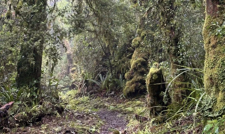
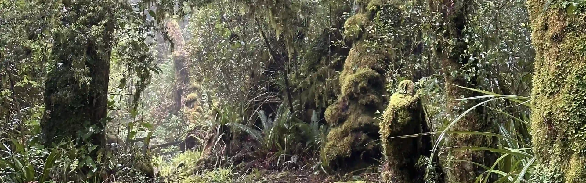
Discover 'goblin forest' on this short walk.
Distance
0.6 km
Walking time
15-30 min return
Difficulty
Easiest
Dogs
Not allowed
Wheelchair access
Not marked friendly
Current status
Weather outlook
Issued 10 Oct 2026, 9:23 pm
10 October 2026
Cloud about northern faces. Rain developing at night, possibly heavy.
11 October 2026
Showers, possibly heavy with thunderstorms and snow to 2000 metres, easing in the morning and clearing in the afternoon. Cloud remaining about western faces.
12 October 2026
A few showers, more persistent in the morning and afternoon.
13 October 2026
Showers, some possibly heavy.
14 October 2026
Showers.
Regional guidance only; elevation and terrain can produce different conditions.
Explore the area
Explore the track route and surrounding area before you set out.
Track description This is for a short hike in the Taranaki Region. For the two-hour Kamahi Loop Track in Hawkes Bay, see the information here . This is a good short loop behind the Stratford Mountain House. The trailhead is next to a large picnic area with picnic tables and toilets. It’s an easy walk, suitable for families and all fitness types, although there are some steps and steep section. It’s not suitable for buggies or wheelchairs. Take footwear with good grip as this path can be slippery. Enjoy walking through the ‘goblin forest’. Due to high rainfall and humidity of the region, moss and lichens cling to the trees. This is an area of huge biodiversity but the trail is named after the gnarled stumps of kamahi trees, which are twisted into interesting shapes. Native birds including kererū are often seen on the track. The hike is suitable all year round and in all types of weather. In the rain, the forest has its own character. Take a jacket with you if it’s not raining as the weather can change quickly. Getting there From New Plymouth, head south on State Highway 3. It’s about 45 minutes from the centre city. Just north of Stratford, turn west onto Monmouth Road. At Pembroke, turn onto Pembroke Road and follow it for 10 kilometres. The road is sealed all the way. Use this location in Google Maps to find your way there. Helpful resources Find tips, guides and how-to videos to help you prepare for your walk at mountainsafety.org.nz
No dogs.
Track information, access and weather can change. Confirm current alerts and land-manager information close to departure, tell someone your plans, and carry equipment appropriate for the route and conditions.