10 October 2026
Partly cloudy with isolated showers developing in the afternoon. Northeasterlies dying out in the afternoon.
Loading outdoor place details…
Kapiti Island Nature Reserve
A more challenging walk to Tūteremoana, the summit lookout, with narrow and uneven sections.
Distance
5.93 km
Walking time
3 hours
Difficulty
Advanced
Dogs
Not allowed
Wheelchair access
Not marked friendly
Current status
No active alerts found. Conditions can still change, so check again before leaving.
Weather outlook
Issued 10 Oct 2026, 4:55 pm
10 October 2026
Partly cloudy with isolated showers developing in the afternoon. Northeasterlies dying out in the afternoon.
11 October 2026
Showers, clearing to fine spells early afternoon, then clouding over towards evening with drizzle on the ranges. Northerlies.
12 October 2026
Fine, then a few showers developing in the evening. Northwesterlies developing for a time in the afternoon.
13 October 2026
Occasional rain. Northeasterlies, turning northwesterly in the morning.
14 October 2026
Rain. Northwesterlies.
Regional guidance only; elevation and terrain can produce different conditions.
Explore the area
Explore the track route and surrounding area before you set out.
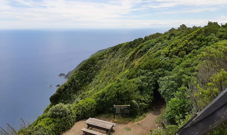
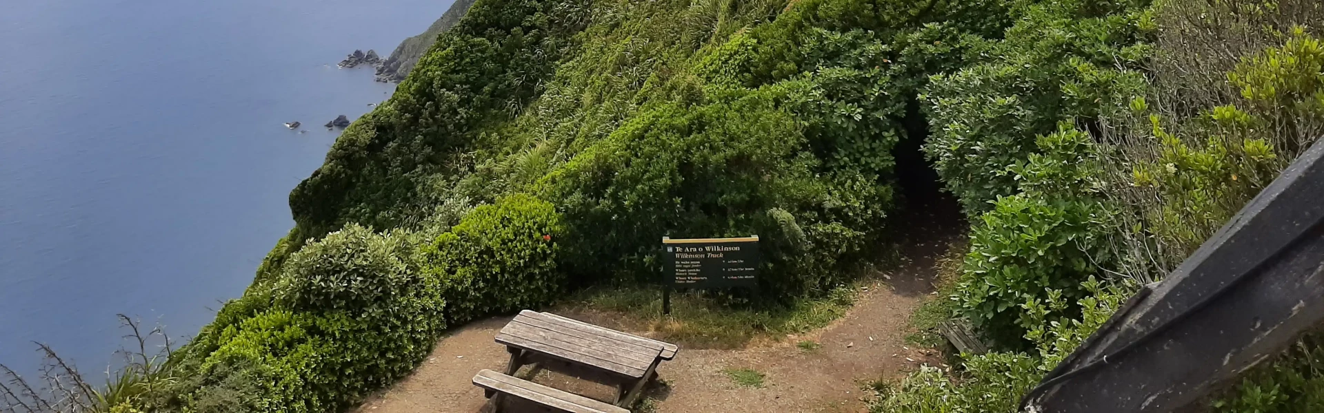
Starting from the shelter, where you'll get to listen to a talk about the island and it's history, head towards the Historic Whare. From here, the track continues southwards and soon after begins to climb gently to a spur above Kahikatea Stream, which you'll hear before you see it. The track then follows this spur up to the intersection with Wilkinson Track, passing by a bird feeder towards the top. From the junction, turn left to head to the summit. From the summit, follow Wilkinson track back down to the shelter, as the Trig Track is designated as an uphill track only.
Pre-departure You are required to inspect your bags and footwear for rodents, ants, seeds, and soil before boarding the boat. Kāpiti Nature Tours will guide you through this process to ensure the island remains predator-free. On Arrival There will be a welcome kōrero (talk) about the island’s wildlife, plant life, and human history. This includes an explanation of tikanga (etiquette) and recommended hikoi (walking) options for your group. Facilities There is a visitor shelter with a nice lawn outside, and several toilets. What to Bring Food and drinking water. Wear sturdy footwear and pack warm clothing, including a waterproof jacket. Trail Conditions The trails are unpaved and require a reasonable level of fitness, especially if you plan to hike to the island’s highest point. Access Access to the island is via a ramp, but the beach is stony. You’ll need to be able to walk across an uneven and rocky shoreline. Note: Access Restrictions : Only permitted boats may land; private boats, kayaks, jetskis, paddleboards, and swimmers are prohibited from landing. Permits : No one is allowed to land on the island without a permit - this will be issued when you book your boat trip with Kāpiti Nature Tours. Stay on Trails : Remain on marked tracks and mowed areas. Prohibited Activities : No unauthorized drones. No fires, barbecues, or any form of cooking stoves. Smoking and vaping are not allowed. Do not remove or disturb anything on the island, including plants, feathers, insects, lizards, birds, and shells. Do not feed or disturb the birds. Litter : Remove all litter when you leave. Departure : Be ready to depart at the time announced by Kāpiti Island Nature Tours as there are no private water taxis
Kāpiti Island is 5 km off the west coast of the lower North Island - one hour north of Te Whanganui-a-Tara / Wellington. Kāpiti Island Nature Tours provide transport and tours of Kapiti Island. The island is a popular destination all year round so bookings for the popular summer season need to be made well in advance. Private boats may not land at Kapiti Island Nature Reserve. Boats depart from Kapiti Boating Club at Paraparaumu Beach. Use this location on Google Maps to help find your way there.
We encourage you to continue gaining the skills and knowledge required for a safe trip. The NZ Mountain Safety Council has lots of free resources and information you can use. These can be accessed via www.mountainsafety.org.nz . Level up in your outdoor knowledge with these interactive online learning tools: Trip Planning Tramping / field Skills Basic Navigation River Safety Additionally, check out the range of helpful videos available from the NZ Mountain Safety Council YouTube channel .
No dogs allowed
Track information, access and weather can change. Confirm current alerts and land-manager information close to departure, tell someone your plans, and carry equipment appropriate for the route and conditions.