10 October 2026
Cloud about the tops, and the odd shower.
Loading outdoor place details…
Tararua Forest Park
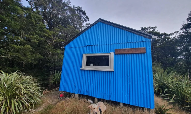
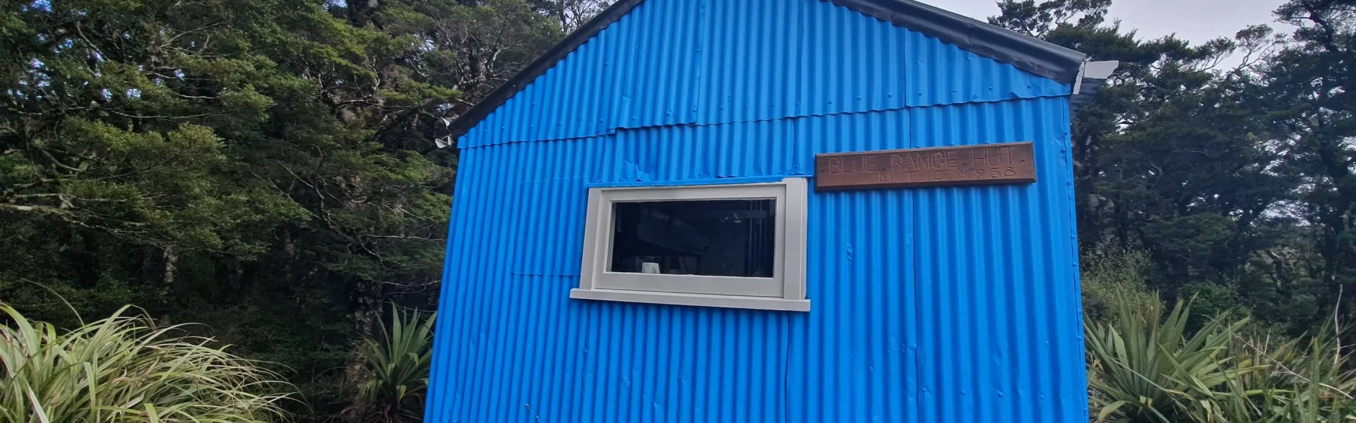
Tramp from Kiriwhakapapa road end to Blue Range Hut, a quirky hut with great views.
Distance
3.6 km
Walking time
2-3 hr
Difficulty
Advanced
Dogs
Allowed — check local rules
Wheelchair access
Not marked friendly
Current status
No active alerts found. Conditions can still change, so check again before leaving.
Weather outlook
Issued 10 Oct 2026, 9:23 pm
10 October 2026
Cloud about the tops, and the odd shower.
11 October 2026
Showers, clearing in the afternoon, but cloud and drizzle remaining about western slopes.
12 October 2026
Fine, apart from morning drizzle. A few showers at night.
13 October 2026
Showers, some possibly heavy.
14 October 2026
Showers clearing.
Regional guidance only; elevation and terrain can produce different conditions.
Explore the area
Explore the track route and surrounding area before you set out.
The track from Kiriwhakapapa Road End to Blue Range Hut is short but steep – it gains around 650 m of elevation in just 3.36 km of track. This is a typical backcountry track and you can expect a rough and unformed track surface. You will be scrambling up steep slopes, using tree roots as handholds and footholds. Some people will find it takes longer than 2-3 hours, so plan for extra time and go slowly and carefully. The track starts at the end of Kiriwhakapapa Road, beside Kiriwhakapapa Campsite. The first part of the track is along the Kiriwhakapapa Loop Track , a well-graded, family-friendly loop track. It passes a spectacular stand of tall Redwoods and regenerating native forest. At the track junction, take the right-hand track to Blue Range Hut. This is where the tramping track separates from the Kiriwhakapapa Loop Track, so you will notice that the track quickly becomes narrower and rougher. The track follows Reef Creek up the valley on the true right. A side stream meets Reef Creek and the track crosses the stream (unbridged crossing), then follows a steep ridge up to the top of Blue Range. When you are almost at the top, you come to a track junction. Take the right-hand track to Blue Range Hut. The left-hand track goes to Cow Creek Hut in the Waingawa River valley. Arriving at the top of Blue Range makes the climb worthwhile. You briefly leave the forest and enjoy fantastic views of the peaks deeper into the park. From here, Blue Range Hut is on a short walk along the ridge.
This track is challenging despite its short distance, as it has a very steep climb. The views and quirky hut make the trip well worth it, but check that everyone in your group has the fitness for the climb and build some extra time into your plans in case it takes longer than expected There is no water (including no side streams) during the climb, so pack at least 2L of water per person, along with high energy snacks. This track is a typical Tararua backcountry tramping track. It is rough and uneven, and you can expect to be scrambling up and down tree roots. The valley section can get very muddy, especially in winter and after heavy rain. The Tararua Ranges are well known for wild, fast-changing and unpredictable weather. Anytime you go into the Tararua Forest Park, pack warm and waterproof clothing (even if the forecast is good). If you plan to cross unbridged rivers, know how to cross safely and be prepared for if you cannot cross. Do not cross if the river is flooded, you cannot find safe entry and exit points or are unsure it’s safe. Turn back or wait for the river to drop. If in doubt, stay out.
Blue Range Hut
Blue Range Track begins at the end of Kiriwhakapapa Road, 7 km from State Highway 2 and around 16 km north of Masterton. Use this location in Google Maps to find your way there.
We encourage you to continue gaining the skills and knowledge required for a safe trip. The NZ Mountain Safety Council has lots of free resources and information you can use. These can be accessed via www.mountainsafety.org.nz . Level up in your outdoor knowledge with these interactive online learning tools: Trip Planning Tramping / field Skills Basic Navigation River Safety Additionally, check out the range of helpful videos available from the NZ Mountain Safety Council YouTube channel .
Dogs allowed. Keep dog under control at all times.
Track information, access and weather can change. Confirm current alerts and land-manager information close to departure, tell someone your plans, and carry equipment appropriate for the route and conditions.