09 October 2026
Mainly fine but the chance of an inland afternoon or evening shower. Areas of low cloud or fog possible at night. Light winds but easterlies about the coast for a time this afternoon.
Loading outdoor place details…
Mavora Lakes Conservation Park
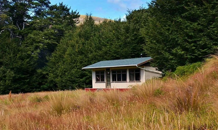
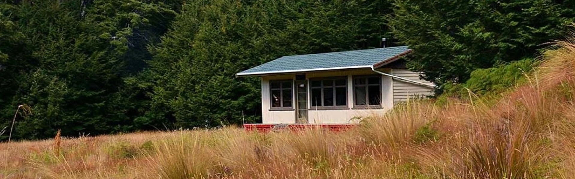
This track goes to Kiwi Burn Hut.
Distance
4.3 km
Walking time
1.5 hrs one way, 3.5 hours loop
Difficulty
Intermediate
Dogs
Not allowed
Wheelchair access
Not marked friendly
Current status
No active alerts found. Conditions can still change, so check again before leaving.
Weather outlook
Issued 9 Oct 2026, 4:49 pm
09 October 2026
Mainly fine but the chance of an inland afternoon or evening shower. Areas of low cloud or fog possible at night. Light winds but easterlies about the coast for a time this afternoon.
10 October 2026
Areas of low cloud or fog in the morning and again at night, otherwise partly cloudy with isolated afternoon and evening showers. Easterlies about the coast for a time in the afternoon.
11 October 2026
Fine, but becoming mostly cloudy with isolated showers in the evening. Northerlies, turning westerly in the afternoon.
12 October 2026
Fine. Northwesterlies developing in the morning.
13 October 2026
Showers developing in the morning. Northwesterlies, dying out in the evening.
Regional guidance only; elevation and terrain can produce different conditions.
Explore the area
Explore the track route and surrounding area before you set out.
This is a good walk for families at just 4.3km (1 hr 30 mins) via the most direct route. From the access point signposted on Mavora Lakes Road (1.5 km south of Hikuraki Station), cross the swingbridge over Mararoa River to join the Mavora Walkway. Turn left and follow this track for approximately an hour until you reach the junction which takes you up along Kiwi Burn (a stream) to Kiwi Burn Hut. This takes about 15 minutes and involves crossing the stream, so be prepared for wet feet. Either return the way you came, or for a longer adventure, complete the loop. This is a total loop of 11kms taking around 3 hours 30 mins, or another two hours from the hut. Continue north up the Kiwi Burn Valley towards Whitestone River. After about an hour, you'll reach a junction with the Mararoa to Kiwi Burn Track. Turn left here to climb up to a saddle, before gently descending back to the Mavora Walkway where you'll see the swingbridge directly ahead.
Kiwi Burn Hut is a standard 12-bunk hut with a pot belly stove.
Access to Mavora Lakes is off of SH94 between Mossburn and Te Anau. Use this location o n Google Maps to help find your way there.
We encourage you to continue gaining the skills and knowledge required for a safe trip. The NZ Mountain Safety Council has lots of free resources and information you can use. These can be accessed via www.mountainsafety.org.nz . Level up in your outdoor knowledge with these interactive online learning tools: Trip Planning Tramping / field Skills Basic Navigation River Safety Additionally, check out the range of helpful videos available from the NZ Mountain Safety Council YouTube channel .
Dogs on a leash only.
Track information, access and weather can change. Confirm current alerts and land-manager information close to departure, tell someone your plans, and carry equipment appropriate for the route and conditions.