10 October 2026
Partly cloudy with the chance of a shower. Light winds.
Loading outdoor place details…
Wellington City
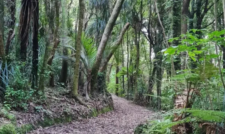
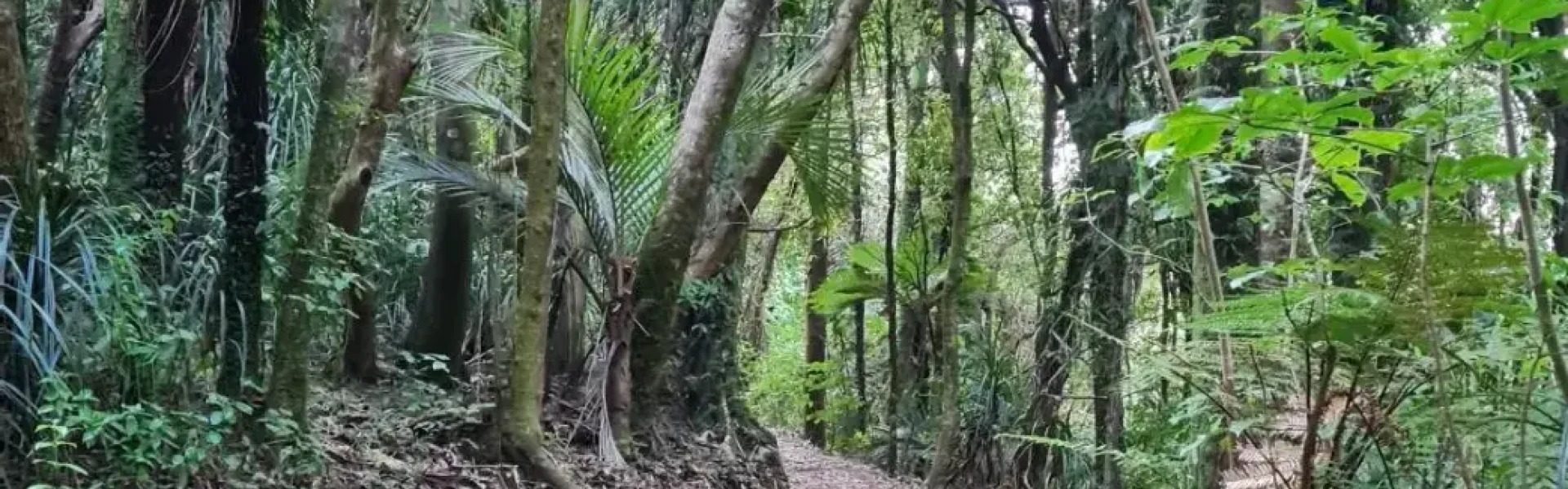
This evenly graded track follows an old steel pipeline from the Cornish Street entrance upstream through mature and regenerating bush to the Korokoro Dam. The dam was the first gravity fed concrete dam in New Zealand, built to supply water for the Petone Borough in 1903.
Distance
8 km
Walking time
3 hours return
Difficulty
Easy
Dogs
Allowed — check local rules
Wheelchair access
Not marked friendly
Current status
No active alerts found. Conditions can still change, so check again before leaving.
Weather outlook
Issued 10 Oct 2026, 4:55 pm
10 October 2026
Partly cloudy with the chance of a shower. Light winds.
11 October 2026
Showers, clearing to fine spells early afternoon, then clouding over towards evening with drizzle on the ranges. Northerlies.
12 October 2026
Mainly fine, isolated showers at night. Northerlies.
13 October 2026
Occasional rain. Northwesterlies.
14 October 2026
Rain becoming persistent in the morning. Northwesterlies.
Regional guidance only; elevation and terrain can produce different conditions.
Explore the area
Explore the track route and surrounding area before you set out.
Starting from the Cornish Street access to Belmont Park, the Korokoro Stream Track is very well maintained. Follow the track beside the stream for about 45 minutes before coming to the Baked Beans Bend Clearing – stay to the right to follow the stream up to the dam. Return the same way or exit via Oakleigh Street.
Not suitable for mountain buggies. Do not remove, disturb or damage native plants or animals. Light no fires. Take your rubbish home and recycle it where possible. Dogs are permitted in the Korokoro and Dry Creek Valleys. Keep them under control and remove droppings. No dogs on or near farmland.
Cornish St is just 18 minutes from Wellington on SH2, or a 10-minute walk south-west from the Petone Railway Station via the pedestrian overbridge and Pito-One Road. Use this location on Google Maps to help find your way there.
We encourage you to continue gaining the skills and knowledge required for a safe trip. The NZ Mountain Safety Council has lots of free resources and information you can use. These can be accessed via www.mountainsafety.org.nz . Level up in your outdoor knowledge with these interactive online learning tools: Trip Planning Tramping / field Skills Basic Navigation River Safety Additionally, check out the range of helpful videos available from the NZ Mountain Safety Council YouTube channel .
Track information, access and weather can change. Confirm current alerts and land-manager information close to departure, tell someone your plans, and carry equipment appropriate for the route and conditions.