Walking tracks
- Mount Somers TrackHakatere Conservation Park · 20 km away
- Mount Sunday TrackHakatere Conservation Park · 35 km away
Loading outdoor place details…
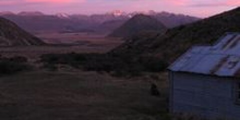
Hakatere Conservation Park
Part of Te Araroa Trail, this track links Hakatere Heron Road to the Rakaia River.
Distance
43 km
Walking time
14 hr 30 min
Difficulty
Advanced
Dogs
Allowed — check local rules
Wheelchair access
Not marked friendly
Current status
No active alerts found. Conditions can still change, so check again before leaving.
Explore the area
Explore the track route and surrounding area before you set out.
Part of Te Araroa - New Zealand's trail , this track links Hakatere Heron Road to the Rakaia River. Starting from the carpark just off Hakatere Heron Road, follow the track to Manuka Hut (1 hr 30 min). You will then pass Manuka Lake and Seagull Lake, before a junction with the Double Hut Track to your right. Double Hut is 800 m down this track. It is about 10 km from the carpark to the Double Hut junction. Continuing straight from the junction, the track will soon start to climb toward the Clent Hills Saddle. It is 8 km from the Double Hut Track junction to the top of the saddle. Over the saddle, you'll descend 9 km down to Comyns Hut . The track then follows Turtons Stream uphill toward Turton's Saddle, passing A Frame Hu t on the way. From the saddle, the track follows Glenrock Stream down to the Rakaia River plain and meets the Double Hill Run Road. It is 16 km from Comyns Hut to the road.
There is no shade so sunscreen and a hat is recommended. These are shared use tracks so you may encounter horses and mountain bikers.
The huts on this track do not require bookings, however can exceed capacity due to the popularity of Te Araroa. Places to camp are plentiful. For more information and user reviews about each hut, check out the following links: Manuka Hut : 6 bunk beds, Pit toilet, Fire, Water from stream Double Hut : 6 bunk beds, Pit toilet, Fire, Water from stream Comyns Hut : 8 bunk beds, Pit toilet, Fire, Water from stream A Frame Hut : 3 bunk beds, Pit toilet, Water from stream
Lake Emily is accessed from Hakatere Heron Road, about 31 km west of Mount Somers. Leave Mount Somers on Ashburton Gorge Road, then turn right into Hakatere Heron Road (23 km). Turn right again just before crossing Jacobs Stream Bridge at Castleridge Station. 2WD vehicles can park on the verge of the farm track (be considerate of other users and farm vehicles). 4WD vehicles can travel a further 1.4 km to a car park on the public conversation land. Use this location on Google Maps to help find your way there.
We encourage you to continue gaining the skills and knowledge required for a safe trip. The NZ Mountain Safety Council has lots of free resources and information you can use. These can be accessed via www.mountainsafety.org.nz . Level up in your outdoor knowledge with these interactive online learning tools: Trip Planning Tramping / field Skills Basic Navigation River Safety Additionally, check out the range of helpful videos available from the NZ Mountain Safety Council YouTube channel .
Dogs allowed. Keep dog under control at all times.
Track information, access and weather can change. Confirm current alerts and land-manager information close to departure, tell someone your plans, and carry equipment appropriate for the route and conditions.