11 October 2026
Showers, possibly heavy, clearing in the afternoon with increasing fine spells. Northerlies, turning westerly in the afternoon.
Loading outdoor place details…
Rotorua
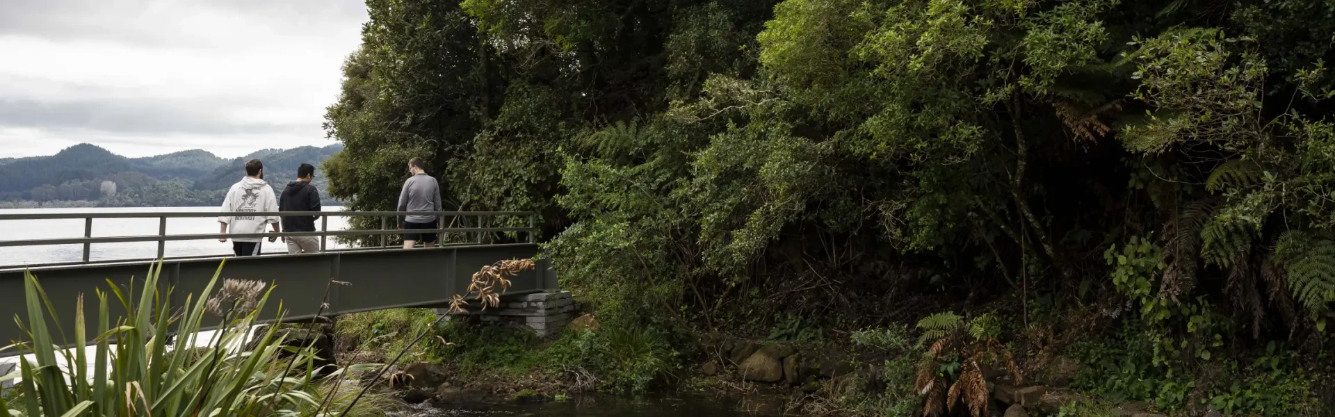
The Lake Ōkāreka Loop Track, tentatively named Te Ara o Tūkonohi, provides a varied walking experience. It traverses sections of farmland, areas of dense native bush, a constructed wetland boardwalk, and the village itself. The Lake Ōkāreka Loop Track offers a comprehensive view of the diverse environments surrounding Lake Ōkāreka.
Distance
9.1 km
Walking time
2 hours
Difficulty
Intermediate
Dogs
Not allowed
Wheelchair access
Not marked friendly
Current status
No active alerts found. Conditions can still change, so check again before leaving.
Weather outlook
Issued 10 Oct 2026, 11:01 pm
11 October 2026
Showers, possibly heavy, clearing in the afternoon with increasing fine spells. Northerlies, turning westerly in the afternoon.
12 October 2026
Cloudy, with rain in the morning and afternoon. Northwesterlies developing for a time in the afternoon.
13 October 2026
A few showers. Northwesterlies developing in the morning.
14 October 2026
Partly cloudy with isolated showers developing in the morning. Northwesterlies developing in the morning.
15 October 2026
Rain developing. Northerlies, turning westerly.
Regional guidance only; elevation and terrain can produce different conditions.
Explore the area
Explore the track route and surrounding area before you set out.
The Lake Okareka Loop Track is a diverse 9 km walk, ranging from easy to moderate. Some sections are wheelchair/pushchair friendly, and others involve stairs. Start at Boyes Beach, roughly 15 km from Rotorua (via SH30, Tarawera Rd, Okareka Loop Rd). The loop features: Village and lakeside views: From Boyes Beach to Millar Road DOC Campground, enjoy accessible paths through lakeside and residential areas. Farmland and native bush: Head towards Acacia Road, traversing farmland and 3 km of regenerating native bush on the eastern side leading to the outlet. Silver Beach and The Outlet: From Silver Beach (picnic/toilets), the track narrows, ascending with stairs through bush to the Lake Okareka outlet. Wetland boardwalk: Silver Beach to Acacia Rd offers a flat, accessible boardwalk through wetlands with a birdwatching hide. Village Walk: An easy walkway returns through a low-density village. Viewpoints offer sweeping lake views, often with Mount Tarawera. Wheelchair and pram access is possible along the northern and southern aspects.
No dogs allowed.
Lake Ōkāreka is a small community 15 minutes’ drive southeast of Rotorua. Please take Tarawera Rd, then Ōkāreka Loop Road and Millar Rd to the main trailhead at Boyes Beach. As it is a loop track, you can park and start your journey at any part of the track.
Lake Ōrāreka Community Association Lake Ōkāreka Campsite Ōkareka Mistletoe Walk This track is part of the Herenga ā Nuku Aotearoa track database. Herenga ā Nuku has maps and advice about public access to the outdoors . We encourage you to continue gaining the skills and knowledge required for a safe trip. The NZ Mountain Safety Council has lots of free resources and information you can use. You can access them at www.mountainsafety.org.nz . We recommend trying these online learning tools: Trip Planning Tramping/field Skills Basic Navigation River Safety Additionally, check out the range of helpful videos available from the NZ Mountain Safety Council YouTube channel .
Track information, access and weather can change. Confirm current alerts and land-manager information close to departure, tell someone your plans, and carry equipment appropriate for the route and conditions.