10 October 2026
Often cloudy, with the chance of an afternoon shower. Northerlies for a time afternoon and early evening.
10° / 19°
Loading outdoor place details…
Lake Tikitapu Scenic Reserve
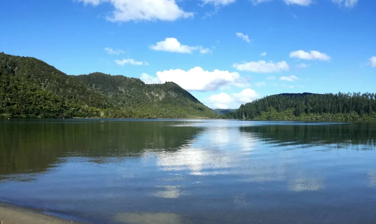
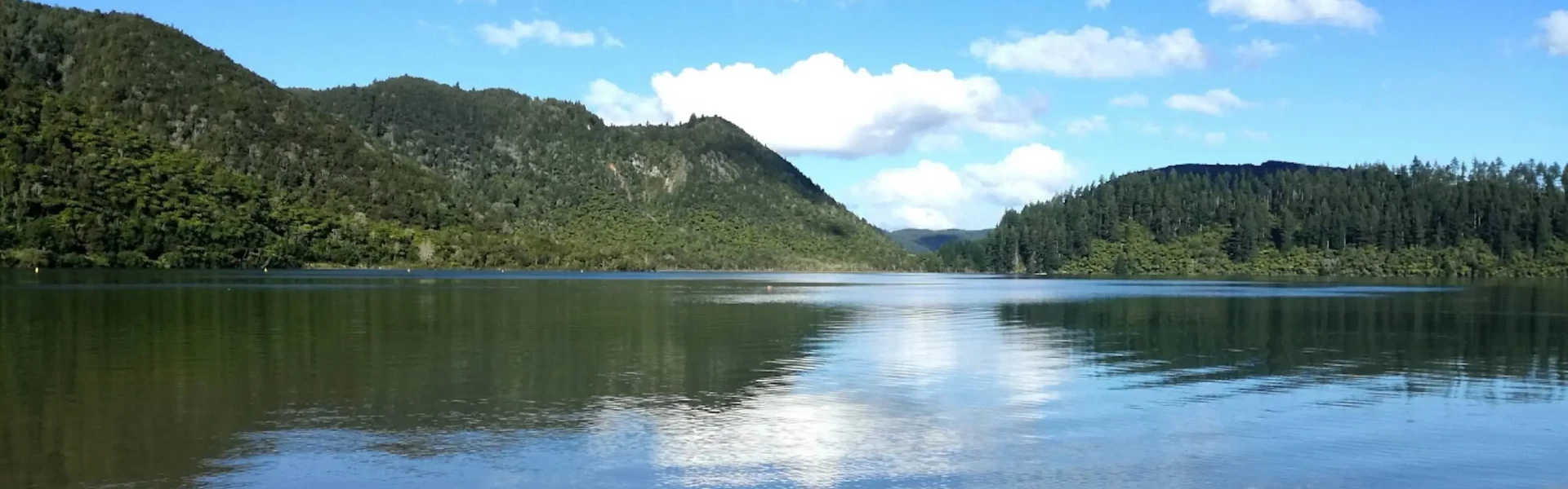
Enjoy native bush and quiet beaches. The track provides good opportunities to look out over the Blue Lake (Tikitapu) and Green Lake (Rotokakahi).
Distance
5.5 km
Walking time
1 hr 30 min
Difficulty
Easy
Dogs
On-lead only
Wheelchair access
Not marked friendly
Current status
No active alerts found. Conditions can still change, so check again before leaving.
Weather outlook
Issued 10 Oct 2026, 12:31 am
10 October 2026
Often cloudy, with the chance of an afternoon shower. Northerlies for a time afternoon and early evening.
10° / 19°
11 October 2026
Showers in the morning and afternoon, otherwise fine. Northerlies, turning westerly in the afternoon.
11° / 18°
12 October 2026
Showers before dawn, some heavy, then partly cloudy. Light winds.
11° / 20°
13 October 2026
A few showers, heavier and more frequent in the afternoon. Northwesterlies developing in the morning.
11° / 20°
14 October 2026
A few showers, clearing in the evening. Northwesterlies developing in the morning.
10° / 20°
Regional guidance only; elevation and terrain can produce different conditions.
Explore the area
Explore the track route and surrounding area before you set out.
Going in a clockwise direction, which is the recommended direction, the track begins at the north-east end of the Lake. Head along the shore and follow the roadside section south, watching for oncoming traffic. The track is marked by blue arrows. About a third of the way, the track enters the bush, following the lake until coming to a secluded beach at the south end. Head up the stairs to the car park and take a right to continue around the lake. The track continues at this elevation heading north through Whakarewarewa Forest. The track slowly descends into native bush to the lake level and exits at the north-eastern side of the beach. At the northern side of the lake is a boat ramp. The Blue Lake beaches and surrounding grassed areas are all popular for summer picnics. Facilities include toilets, rubbish bins, a children's playground, barbecues and swimming areas.
Pinch Points: The Loop track has many pinch points which make it unsuitable for wheelchairs and strollers. These include a narrow (less than 50cm) entrance ways, fallen trees and narrow tracks especially on the first section of the trail – the eastern side of the lake. Steps: There are multiple steps along the trail. Leading up to the Blue and Green Lake lookout is a multi-flight staircase from lake level to approximately 40m. There is are steps on entry to the trail if entering from the Water Ski Club car park. There is an alternative, step free entrance 15m away from the signposted entry. Gradient: The Tikitapu Loop trail underlates between a slight a steady gradient as it track along the lake. If starting from the Blue and Green Lake car park there is a 1km section along Tikitapu Road, which is a wide gradual access road. There's a steady decent from Tikitapu road towards the Water Ski Club enty/exit. Surface: The trail is primarily conpacted dirt that becomes muddy after rain. The surface is uneen with many ruts and roots to navigate. Safety: It is recommended to take the loop in an clockwise direction, which involves a 800m stretch along a roadside, with no barrier from oncoming traffic. Extreme care is needed. Facilities: There are accessible toilets at the Waterski Club carpark and Blue and Green Lake lookout carpark. Seating: There are picnic tables and BBQ facilities lakeside, near the water ski club car park. There are no seats along the trail. Signage: The signage (at the anticlockwise / Waterski Club entrance) recommends to loop the track in a clockwise direction. Track is marked by blue arrows. The track branches from the Tikitapu access road. Follow the sign that says 'Lake Front'. Environmental: Apart from the roadside section of the loop, the trail is primarily under cover of native and redwood forests that obscure the view of the lake. Theres a beach access at the base of the stairs leading down from the Blue and Green Lake lookout carpark. There are a few other smaller lake access points on the eastern section of the walk. ----- See more accessibility information and photos on Accessibel
Tikitapu / Blue Lake is situated 9 km south-east of Rotorua, via Te Ngae Road then a right turn at the roundabout into Tarawera Road. Use this location in Google Maps to find your way there. There are three parking locations that provide access to the Lake Tikitapu Loop. The Rotorua Waterski Club car park provides parking for larger vehicles, boats and trailers as well as an accessible toilet. 100 metres further along Tarawera Road, opposite Lake Tikitapu Campground, is another car park closer to the recommended entry. The third car park, the Blue and Green Lake lookout , provides a view of both lakes and access to the trail. This car park provides designated mobility parking and accessible toilets.
We encourage you to continue gaining the skills and knowledge required for a safe trip. The NZ Mountain Safety Council has lots of free resources and information you can use. These can be accessed via www.mountainsafety.org.nz . We recommend trying these online learning tools: Trip Planning Tramping / field Skills Basic Navigation River Safety Additionally, check out the range of helpful videos available from the NZ Mountain Safety Council YouTube channel .
Dogs on a leash only.
Track information, access and weather can change. Confirm current alerts and land-manager information close to departure, tell someone your plans, and carry equipment appropriate for the route and conditions.