11 October 2026
Showers, possibly heavy, clearing in the afternoon with increasing fine spells. Periods of rain developing west of Tauranga late evening. Northerlies, turning westerly in the afternoon.
Loading outdoor place details…
Whakatāne
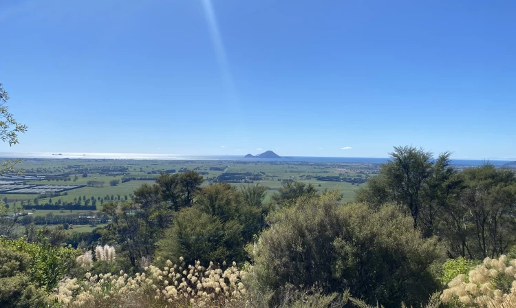
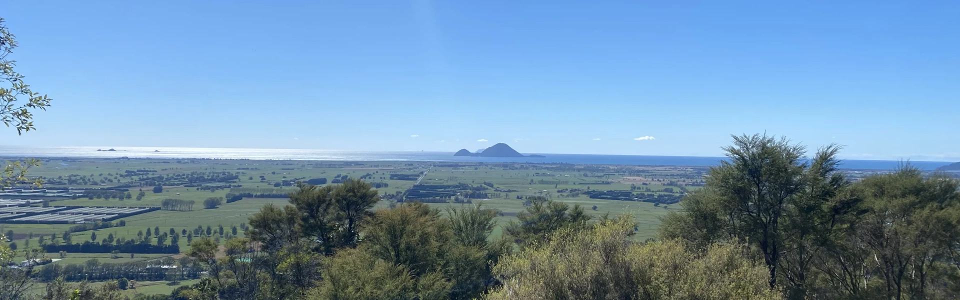
The walk has a relatively gentle climb over rolling farmland which leads up to native bush and a trig station. There you can enjoy superb views over the Rangitāiki Plains.
Distance
4 km
Walking time
1 hour return
Difficulty
Intermediate
Dogs
Allowed — check local rules
Wheelchair access
Not marked friendly
Current status
No active alerts found. Conditions can still change, so check again before leaving.
Weather outlook
Issued 10 Oct 2026, 11:01 pm
11 October 2026
Showers, possibly heavy, clearing in the afternoon with increasing fine spells. Periods of rain developing west of Tauranga late evening. Northerlies, turning westerly in the afternoon.
12 October 2026
A few showers. Northwesterlies developing for a time in the afternoon and evening.
13 October 2026
A few showers. Northwesterlies developing in the morning.
14 October 2026
A few showers. Northwesterlies developing in the morning.
15 October 2026
A few showers, some possibly heavy. Northwesterlies.
Regional guidance only; elevation and terrain can produce different conditions.
Explore the area
Explore the track route and surrounding area before you set out.
The main track ends at the trig station. We recommend for most walkers, especially with younger families, turning around here and returning to the car park. Another route descends from the trig station to the Awakeri Hot Springs complex. This section is steeper, and if you’re looping back to the car park, means walking along a busy section of State Highway 30.
Dogs allowed on lead. Private farmland, keep to track.
This track begins at the Latham property 17 kilometres south of Whakatāne on State Highway 30. There is a small car park available.
Whakatāne District Council Whakatāne Facebook Whakatāne Instagram This track is part of the Herenga ā Nuku Aotearoa track database. Herenga ā Nuku has maps and advice about public access to the outdoors . We encourage you to continue gaining the skills and knowledge required for a safe trip. The NZ Mountain Safety Council has lots of free resources and information you can use. These can be accessed via www.mountainsafety.org.nz . We recommend trying these online learning tools: Trip Planning Tramping/field Skills Basic Navigation River Safety Additionally, check out the range of helpful videos available from the NZ Mountain Safety Council YouTube channel .
Track information, access and weather can change. Confirm current alerts and land-manager information close to departure, tell someone your plans, and carry equipment appropriate for the route and conditions.