10 October 2026
Showers turning to rain at night, possibly heavy.
Loading outdoor place details…
Kahurangi National Park
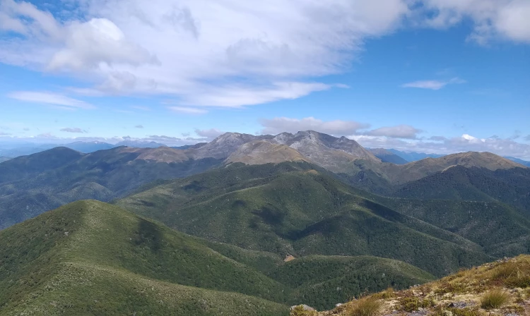
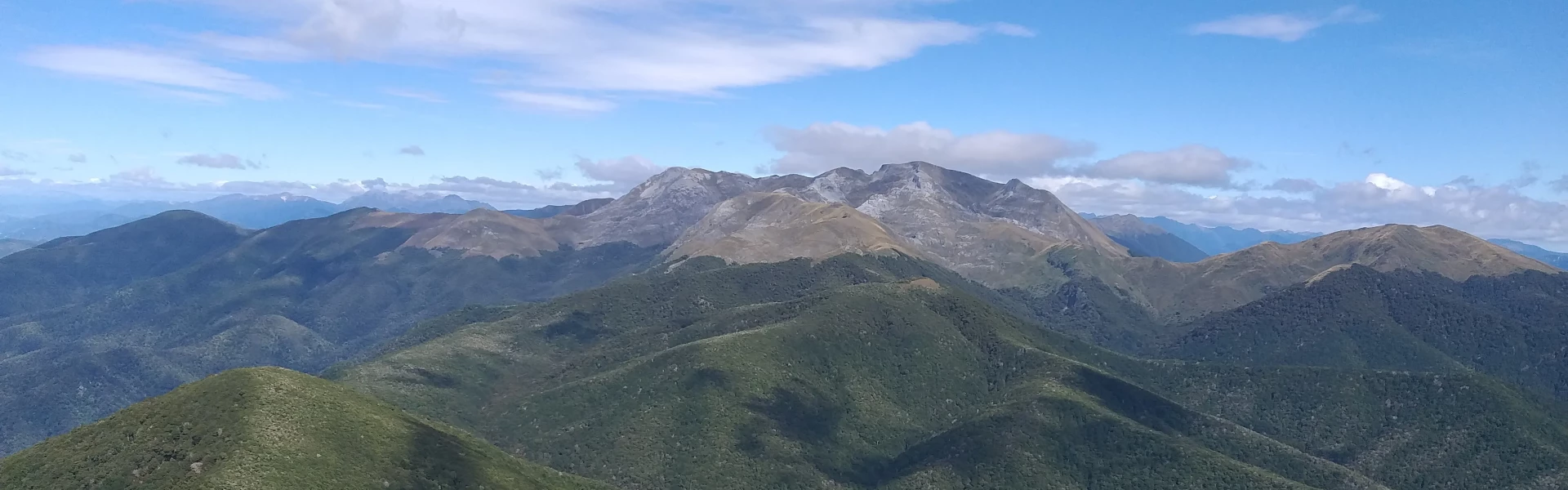
Climb to the top of Lodestone (1462 m) and enjoy spectacular views of Tasman Bay and the Arthur Range.
Distance
4 km
Walking time
4 - 5 hr return
Difficulty
Advanced
Dogs
Not allowed
Wheelchair access
Not marked friendly
Current status
Weather outlook
Issued 10 Oct 2026, 7:33 am
10 October 2026
Showers turning to rain at night, possibly heavy.
11 October 2026
Rain, possibly heavy, easing in the afternoon, clearing early evening.
12 October 2026
Fine, but becoming mostly cloudy with isolated showers in the evening.
13 October 2026
Showers easing.
14 October 2026
Rain, heavy at times.
Regional guidance only; elevation and terrain can produce different conditions.
Explore the area
Explore the track route and surrounding area before you set out.
A steep tramping track climbs from Flora car park to Lodestone summit (1462m), offering stunning 360° views across Tasman Bay and into Kahurangi National Park. The trail includes some rough and scrambly sections, with sheltered beech forest along much of the route. From the summit, return the same way or continue via Flora Hut for a loop option. Options: Flora car park – Lodestone Summit: 2 hr, 2.6 km each way Flora car park – Lodestone – Flora Hut – Flora car park: 4-5 hr, 6.72 km loop track Facilities at the car park include a toilet and the Flora Kiosk shelter with maps, track info, and a logbook.
Lodestone is an alpine environment, so good preparation and care are essential for a safe trip. The track is exposed above the treeline; wear suitable outdoor clothing and be prepared for sudden weather changes. Always be ready for freezing conditions and take extreme care if snow or ice is present. Carry plenty of water; there are no water sources beyond Flora Hut.
Flora Hut
Flora car park is 75 km from Nelson and 36 km from Motueka. The Motueka Valley Highway links Nelson and Motueka. Turn off this road at Ngātīmoti and cross the Motueka River. Turn left onto Motueka River West Bank Road, then right into Graham Valley Road, which climbs steeply to the car park. The last 5.8 km is unsealed and turning a vehicle on the road can be difficult. 4WD is recommended at all times of the year. Use this location on Google Maps to help find your way there.
We encourage you to continue gaining the skills and knowledge required for a safe trip. The NZ Mountain Safety Council has lots of free resources and information you can use. These can be accessed via www.mountainsafety.org.nz . Level up in your outdoor knowledge with these interactive online learning tools: Trip Planning Tramping / field Skills Basic Navigation River Safety Additionally, check out the range of helpful videos available from the NZ Mountain Safety Council YouTube channel .
No dogs.
Track information, access and weather can change. Confirm current alerts and land-manager information close to departure, tell someone your plans, and carry equipment appropriate for the route and conditions.