11 October 2026
Showers about the Divide, clearing in the evening, otherwise fine.
Loading outdoor place details…
Lake Sumner Forest Park
From the Nina Valley Track, follow Lucretia Hut Route to get to Lucretia Hut.
Distance
9.64 km
Walking time
4 hr
Difficulty
Expert
Dogs
Not allowed
Wheelchair access
Not marked friendly
Current status
No active alerts found. Conditions can still change, so check again before leaving.
Weather outlook
Issued 10 Oct 2026, 9:23 pm
11 October 2026
Showers about the Divide, clearing in the evening, otherwise fine.
12 October 2026
Fine.
13 October 2026
Partly cloudy with isolated showers.
14 October 2026
Rain, with heavy falls.
15 October 2026
Rain developing, with snow to 600 metres.
Regional guidance only; elevation and terrain can produce different conditions.
Explore the area
Explore the track route and surrounding area before you set out.
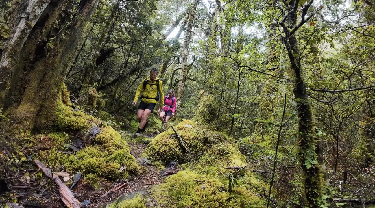
The track begins north of Palmer Lodge marked by a small DOC sign. Begin by crossing the Lewis River via the swing bridge, then follow the true right bank for a short distance before briefly climbing onto a terrace. From there, the track heads northwest, moving away from the river and winding through beech forest above the Nina River. After about an hour of walking, you'll reach the river. The track then continues along the true left side of the river until you arrive at the Nina swing bridge, which crosses the river. From the Nina swing bridge, stay on the same side of the river (do not cross) and continue along the river until you reach Lucretia Stream, where you'll turn right. From here, the track climbs 150m in elevation to avoid a small gorge at the bottom of the stream, before descending back to rejoin the stream. The track then follows the stream, which you'll eventually need to cross before continuing up the true right to reach Lucretia Hut.
Lucretia Stream may become impassable in heavy rain. Be prepared to wait it out. Wasp populations reach high numbers from January to April – cover food and keep lids on sweet drinks, wear light-coloured clothing and carry antihistamine cream/tablets as a precaution. Pack your insect repellant as there can be an abundance of sandflies along the river and around the hut.
Lucretia Hut is a cute little two-bunk hut, restored in 2023 by the Backcountry Trust. It is situated on a tussock flat near Lucretia Stream which also has space for tents.
Just over 2 hours from Christchurch, and about 3 hours drive from Nelson, head towards Lewis Pass. The track begins 10km south of Lewis Pass. There is a carpark just across from the New Zealand Deer Stalkers Association’s Palmer Lodge . Many people choose to park under the trees in this area to keep their vehicles out of sight from passing cars. We recommend taking any valuables with you and storing other items out of sight in your vehicle, as car break-ins are known to happen around Lewis Pass. Use this location in Google Maps to help you find your way there.
We encourage you to continue gaining the skills and knowledge required for a safe trip. The NZ Mountain Safety Council has lots of free resources and information you can use. These can be accessed via www.mountainsafety.org.nz . Level up in your outdoor knowledge with these interactive online learning tools: Trip Planning Tramping / field Skills Basic Navigation River Safety Additionally, check out the range of helpful videos available from the NZ Mountain Safety Council YouTube channel .
No dogs.
Track information, access and weather can change. Confirm current alerts and land-manager information close to departure, tell someone your plans, and carry equipment appropriate for the route and conditions.