10 October 2026
Cloudy with the odd shower, then rain developing this evening, possibly heavy. Northeasterlies.
Loading outdoor place details…
Whangaroa area
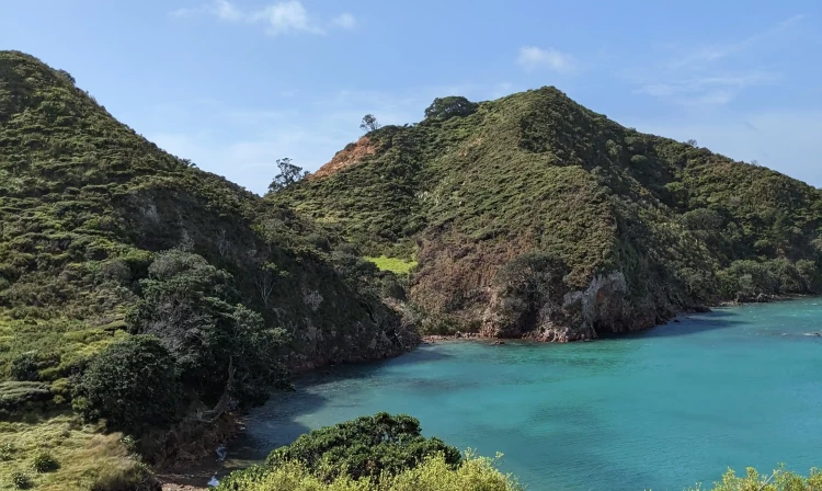
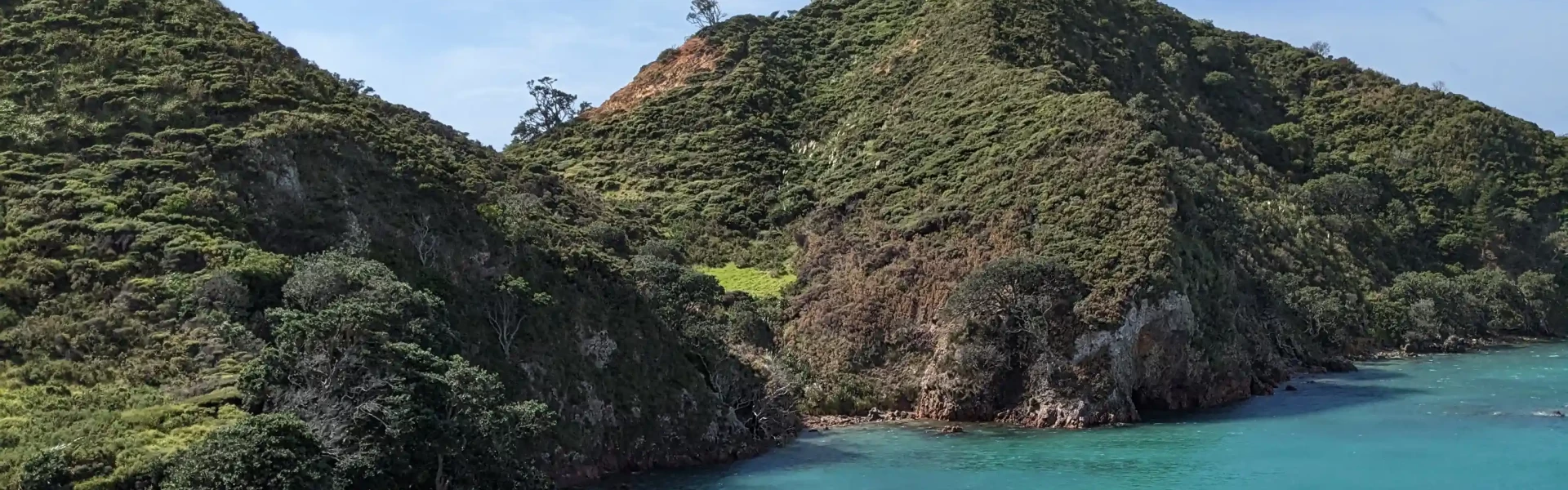
The track travels the length of the peninsula, mainly along the ridgetop, giving access to the many sheltered bays and providing outstanding coastal views.
Distance
3 km
Walking time
1 hr one way
Difficulty
Easy
Dogs
Not allowed
Wheelchair access
Not marked friendly
Current status
Weather outlook
Issued 10 Oct 2026, 4:55 pm
10 October 2026
Cloudy with the odd shower, then rain developing this evening, possibly heavy. Northeasterlies.
11 October 2026
Mainly fine with showers before dawn, possibly heavy. Turning partly cloudy in the afternoon with the chance of a shower. Northwesterlies.
12 October 2026
Cloud clearing and becoming fine in the morning. Northerlies, turning westerly before dawn.
13 October 2026
Partly cloudy, with showers in the afternoon. Westerlies developing in the morning.
14 October 2026
Isolated showers, with increasing cloudy periods. Northwesterlies.
Regional guidance only; elevation and terrain can produce different conditions.
Explore the area
Explore the track route and surrounding area before you set out.
This well-formed track begins at picturesque Mahinepua Beach. Follow the signs and orange DOC markers up a shared driveway to the beginning of the Mahinepua Scenic Reserve. A series of steps have been installed that protect the prominent Māori pā sites. During the walk you will enjoy the dramatic views of the coastline, which is different each side with rocky pools and dark waters on the left, and pink sands and calm bays on the right, as you traverse undulating terrain across bush, stairs, and grassy patches. There is a loop track three-quarters of the way along the main track. This will take you around a coastal walk encompassing stunning views of the Cavalli Islands, Cape Brett peninsula and, on a clear day, Mount Camel on the Karikari Peninsula.
Sections of the track can be very slippery when wet. Dogs aren't allowed on this trail. There are many steep drop-offs and cliffs so children need to be supervised at all times.
The Mahinepua Peninsula is about 40 min drive north of Kerikeri on SH10. To get to the start of the Mahinepua Peninsula Track from SH10, turn east onto Wainui Road then Mahinepua Road. Park your car at the eastern end of Mahinepua Beach. Cross the stile and follow markers up the farm track to the Mahinepua Peninsula Scenic Reserve. Return via the same track. Use this location in Google Maps to find your way there.
We encourage you to continue gaining the skills and knowledge required for a safe trip. The NZ Mountain Safety Council has lots of free resources and information you can use. These can be accessed via www.mountainsafety.org.nz . We recommend trying these online learning tools: Trip Planning Tramping / field Skills Basic Navigation River Safety Additionally, check out the range of helpful videos available from the NZ Mountain Safety Council YouTube channel .
No dogs.
Track information, access and weather can change. Confirm current alerts and land-manager information close to departure, tell someone your plans, and carry equipment appropriate for the route and conditions.