10 October 2026
Partly cloudy. The odd shower southeast of Dargaville in the morning, then rain developing in the evening, possibly heavy. Northeasterlies developing in the morning.
Loading outdoor place details…
Karikari Peninsula
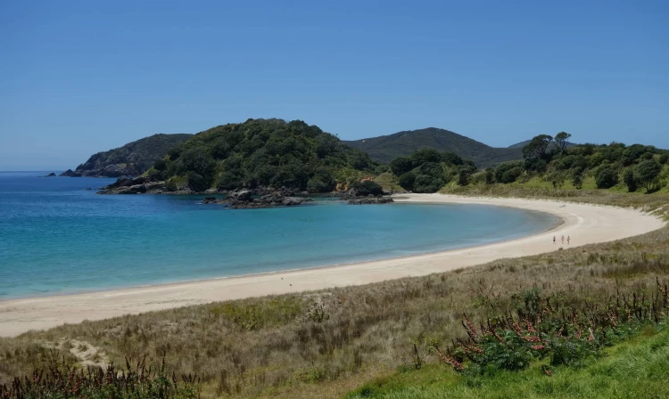
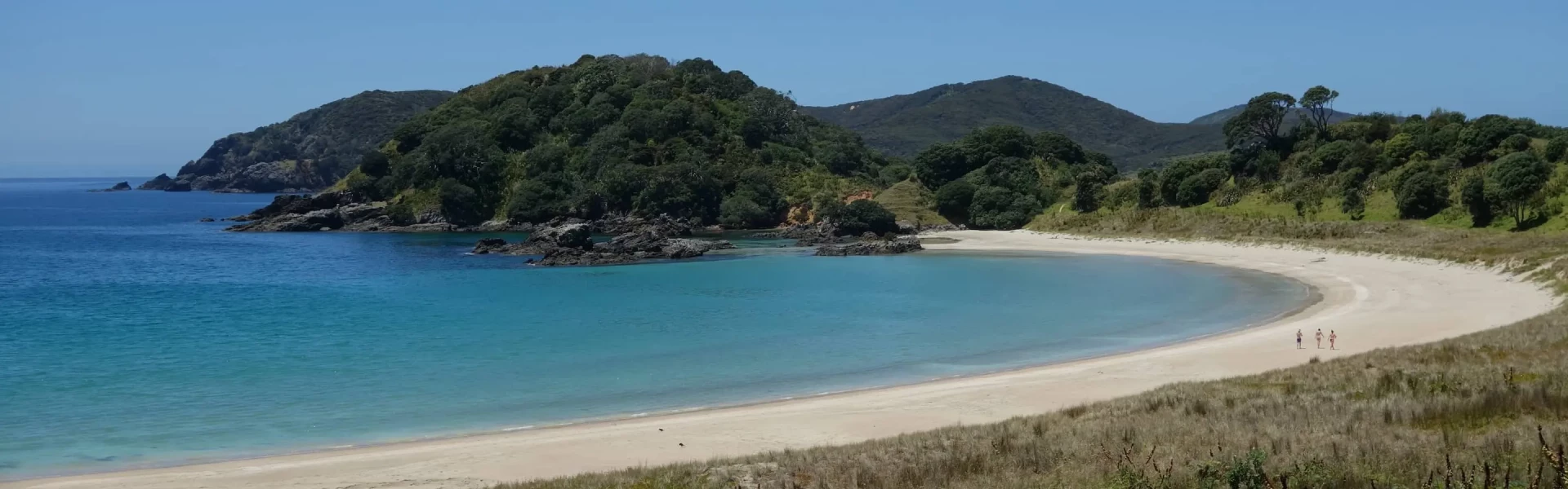
Pass through farmland and manuka scrubland to Maitai Bay Headlands, where you can enjoy scenic views of Waikato Bay and Maitai Bay.
Distance
3.45 km
Walking time
1.5 hr
Difficulty
Advanced
Dogs
Not allowed
Wheelchair access
Not marked friendly
Current status
No active alerts found. Conditions can still change, so check again before leaving.
Weather outlook
Issued 10 Oct 2026, 5:00 am
10 October 2026
Partly cloudy. The odd shower southeast of Dargaville in the morning, then rain developing in the evening, possibly heavy. Northeasterlies developing in the morning.
11 October 2026
Occasional rain, clearing for a time in the morning and afternoon. Northwesterlies.
12 October 2026
Partly cloudy with isolated showers. Westerlies.
13 October 2026
Mostly cloudy, with showers for a time. Westerlies developing in the morning.
14 October 2026
Partly cloudy. Northwesterlies.
Regional guidance only; elevation and terrain can produce different conditions.
Explore the area
Explore the track route and surrounding area before you set out.
The track begins at the Maitai Campsite and crosses farmland and mānuka/kānuka shrubland. From the top left of the campsite, follow the fence line to a wooden gate, then continue along the route marked by orange triangles. The track leads through native mānuka and kānuka to the end of the headland, where you’ll find spectacular views over the bay and out to the Pacific. After your walk, enjoy a refreshing swim in the clear waters of Maitai Bay.
Before walking this track, see the Maitai Bay camp manager first. During winter months or after heavy rainfall track will become muddy. This track is recommended to be walked during the summer season.
The Headland Track starts at the top left corner of the upper camping area at Maitai Bay Campsite. Maitai Bay is on the outer Karikari Peninsula, accessed via Maitai Bay Road about 44 km northeast of Kaitaia. Note: The final 2 km of the drive is on a gravel road. Use this location on Google Maps to help find your way there.
We encourage you to continue gaining the skills and knowledge required for a safe trip. The NZ Mountain Safety Council has lots of free resources and information you can use. These can be accessed via www.mountainsafety.org.nz . Level up in your outdoor knowledge with these interactive online learning tools: Trip Planning Tramping / field Skills Basic Navigation River Safety Additionally, check out the range of helpful videos available from the NZ Mountain Safety Council YouTube channel .
No dogs.
Track information, access and weather can change. Confirm current alerts and land-manager information close to departure, tell someone your plans, and carry equipment appropriate for the route and conditions.