11 October 2026
Showers, clearing this afternoon but remaining mostly cloudy, with possible drizzle this evening. Northwesterlies developing this morning.
Loading outdoor place details…
Tararua Forest Park
The Mangahao Makahika Track connects Burtton's Track, which lies between Palmerston North and Shannon, with the Arapaepae Lookout Trail near Levin. This track is part of Te Araroa Trail.
Distance
13.1 km
Walking time
6 - 7 hrs going south, 7- 8 hrs going north
Difficulty
Advanced
Dogs
On-lead only
Wheelchair access
Not marked friendly
Current status
No active alerts found. Conditions can still change, so check again before leaving.
Weather outlook
Issued 11 Oct 2026, 11:03 am
11 October 2026
Showers, clearing this afternoon but remaining mostly cloudy, with possible drizzle this evening. Northwesterlies developing this morning.
12 October 2026
Mostly cloudy with isolated showers, clearing to fine in the morning. Northwesterlies developing for a time in the morning and afternoon.
13 October 2026
Occasional rain. Northwesterlies developing in the morning.
14 October 2026
Occasional rain, becoming persistent about the ranges in the evening. Northwesterlies.
15 October 2026
Showers, some heavy. Westerlies, turning southerly in the evening.
Regional guidance only; elevation and terrain can produce different conditions.
Explore the area
Explore the track route and surrounding area before you set out.
Distance: 13.1 km Time: 6 - 7 hrs going south, 7- 8 hrs going north The track can be walked from either direction but is easiest from the Mangahao roadend . From the parking area on Mangahao Road, Shannon, the track enters the bush, climbing to a low spur with an orientation sign. It then heads south for 2.5 km, passing large rimu trees before descending to cross three unbridged tributaries of Blackwood Stream (around one hour from the road end). Continuing south, the track gradually gains elevation, passing through regenerating mānuka before following Makahika Ridge. The highest point (657 m) offers western views, including Mangaore Stream and Kāpiti. Horowhenua Lookout, reached in 3–4 hours, provides panoramic views of Shannon, Horowhenua, and Manawatū. A steady 350 m descent leads past Kāpiti Viewpoint before reaching the historic Makahika tramline (5–6 hours from the start). The track follows the old tramline, crossing Makahika Stream multiple times—take care after rain. As the track nears its end, clearings become more frequent until reaching the park boundary. The final section follows a poled route through private land to the Poulton Drive car park.
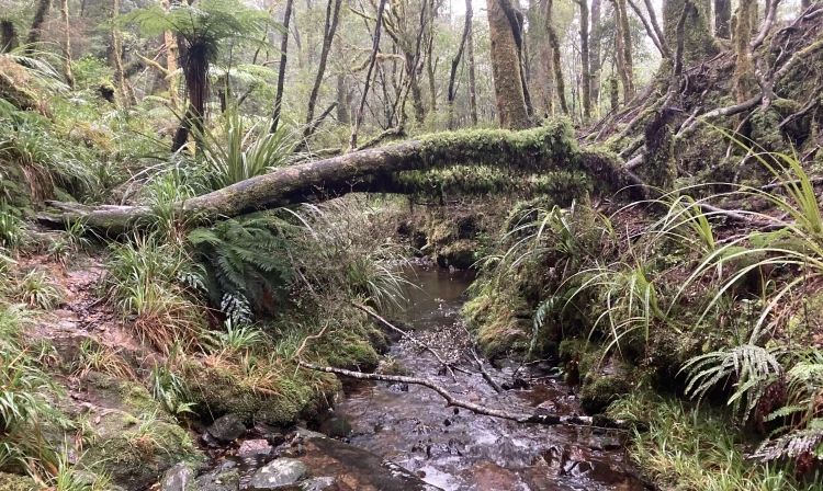
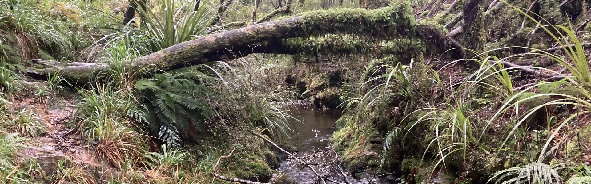
This is a typical backcountry tramping track, with rough, uneven terrain and sections of mud and tree roots requiring scrambling. Weather in Tararua Forest Park is unpredictable, with cold and wet conditions possible year-round. Always carry a waterproof raincoat and warm layers. The track takes 6–8 hours to complete, depending on direction. Start early and bring a torch with spare batteries in case of low light near the end. There are unbridged stream crossings along the route. These can rise rapidly during or after rain, making them unsafe to cross—check conditions before setting out.
Starting from Shannon follow Mangahao Road past Mangaore village and the Mangahao power station. Follow the narrow and winding road for 6 km to the saddle and a 1 km descent to the Tokomaru Valley road junction on left which leads to the start of Burtton's track. From the junction drive a further 2.4 km, past the Arapeti (Tokomaru #3) dam. 400 m past the Tararua Forest Park sign is a small parking area. This is the start of the track. Use this link on Google Maps to help find your way to the Shannon track start/end. Starting from Levin at the end of Queen Street East follow Gladstone Road for 8 km passing the Levin water treatment works and the Gladstone Road Reserve. On the right is Poads Road crossing the Ohau River. Continue along Gladstone Road and 300 m past the Makahika Outdoor Centre on the left is the eastern entrance to the Arapaepae Lookout Trail. It is a further 1.9 km along Gladstone Road Poulton Drive junction to the carpark and start of the track. Use this link on Google Maps to help find your way to the Levin track start/end.
We encourage you to continue gaining the skills and knowledge required for a safe trip. The NZ Mountain Safety Council has lots of free resources and information you can use. These can be accessed via www.mountainsafety.org.nz . We recommend trying these online learning tools: Trip Planning Tramping / field Skills Basic Navigation River Safety Additionally, check out the range of helpful videos available from the NZ Mountain Safety Council YouTube channel
Dogs on a leash only.
Track information, access and weather can change. Confirm current alerts and land-manager information close to departure, tell someone your plans, and carry equipment appropriate for the route and conditions.