11 October 2026
Showers, possibly heavy with thunderstorms and snow to 2000 metres, easing in the morning and clearing in the afternoon. Cloud remaining about western faces.
Loading outdoor place details…
East Egmont area
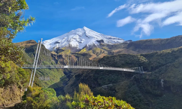
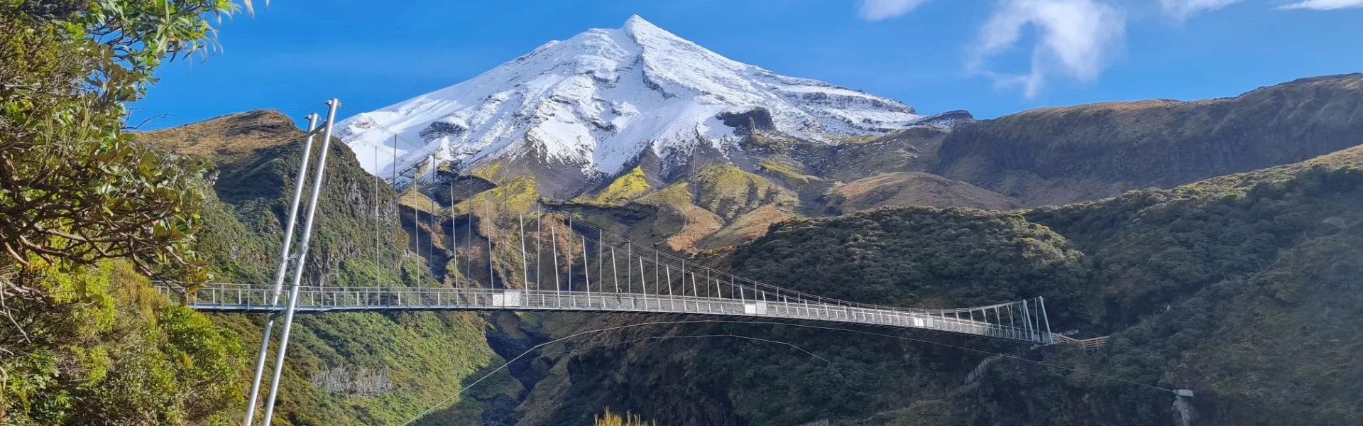
This track takes you to the Manganui Gorge suspension bridge then on to the ski field. On a clear day this walk provides great views of North Taranaki and up the coastline.
Distance
1.47 km
Walking time
20 min one way to bridge and further 5-10 min to ski field
Difficulty
Easy
Dogs
Not allowed
Wheelchair access
Not marked friendly
Current status
Weather outlook
Issued 10 Oct 2026, 9:23 pm
11 October 2026
Showers, possibly heavy with thunderstorms and snow to 2000 metres, easing in the morning and clearing in the afternoon. Cloud remaining about western faces.
12 October 2026
A few showers, more persistent in the morning and afternoon.
13 October 2026
Showers, some possibly heavy.
14 October 2026
Showers.
15 October 2026
Rain turning to showers, some heavy. Snow lowering to 1400 metres.
Regional guidance only; elevation and terrain can produce different conditions.
Explore the area
Explore the track route and surrounding area before you set out.
This track starts at the top of Plateau car park. Head up the access road toward the suspension bridge and ski field. At the flying fox there are good views of the Manganui Gorge and the summit of Mount Taranaki. Allow about 20 minutes to walk uphill to the bridge (around 900 m) and another 5–10 minutes (300 m) to reach the ski field. The track is in an alpine environment, with rocky and uneven sections that can become very icy in winter. There are some steep drop-offs, so children should be supervised. In strong winds, crossing the bridge may be unsafe, so be prepared to turn back if needed. From the ski field the track continues as the high level summer Around the Mountain Circuit.
Weather on the mountain changes rapidly – you must be well prepared with suitable clothing and equipment for all weather and conditions.
Access to the east side of Mount Taranaki is via Pembroke Road which leads directly to the park boundary from the northern end of Stratford township. The road passes the Ngāti Ruanui Stratford Mountain House and then its another 3km to the road end car park at The Plateau (1172 m). Use this location on Google Maps to help find your way there.
We encourage you to continue gaining the skills and knowledge required for a safe trip. The NZ Mountain Safety Council has lots of free resources and information you can use. These can be accessed via www.mountainsafety.org.nz . We recommend trying these online learning tools: Trip Planning Tramping / field Skills Basic Navigation River Safety Additionally, check out the range of helpful videos available from the NZ Mountain Safety Council YouTube channel
No dogs.
Track information, access and weather can change. Confirm current alerts and land-manager information close to departure, tell someone your plans, and carry equipment appropriate for the route and conditions.