11 October 2026
Showers about the Divide, clearing in the evening, otherwise fine.
Loading outdoor place details…
Hakatere Conservation Park
Walk or mountain bike from Lake Emily to Manuka Hut.
Distance
7.75 km
Walking time
1.5 - 2 hours one way
Difficulty
Advanced
Dogs
Allowed — check local rules
Wheelchair access
Not marked friendly
Current status
No active alerts found. Conditions can still change, so check again before leaving.
Weather outlook
Issued 10 Oct 2026, 9:23 pm
11 October 2026
Showers about the Divide, clearing in the evening, otherwise fine.
12 October 2026
Fine.
13 October 2026
Partly cloudy with isolated showers.
14 October 2026
Rain, with heavy falls.
15 October 2026
Rain developing, with snow to 600 metres.
Regional guidance only; elevation and terrain can produce different conditions.
Explore the area
Explore the track route and surrounding area before you set out.
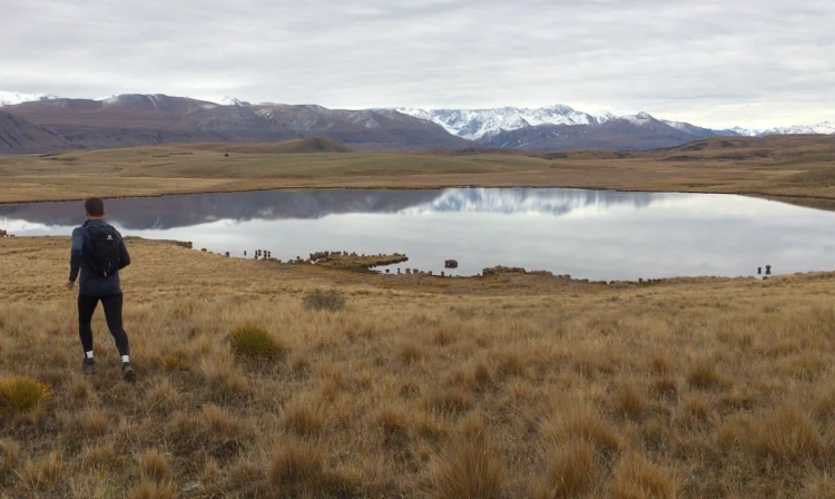
Time: 1 hr 30 min - 2 hours Distance: 6.3 km - 7.75 km Depending on whether you have 4WD access, you'll either start from the carpark just off Hakatere Heron Road, or further on closer to Lake Emily. From here, the track continues past Lake Emily, before turning left at the Stour Track junction to follow Te Araroa towards Manuka Hut. Follow this until you meet the Stour River – here the track reconnects with the mountain bike track. Continue up the river to Manuka Hut. Note: If riding this track, you'll need to follow Stour Track south-east for 2.5km to the Stour River, before turning left and heading upstream along the Manuka Hut Mountian Bike Link. Follow this up the river for 2.5 km until it joins back with the walking track. If you plan to continue beyond Manuka Hut, check out the Lake Emily to Lake Heron Track page
There is no shade so sunscreen and a hat is recommended. These are shared use tracks so you may encounter horses and mountain bikers.
Manuka Hut is a basic hut located 300m east of the track. This hut is at risk of flooding during heavy rain.
Lake Emily is accessed from Hakatere Heron Road, about 31 km west of Mount Somers. Leave Mount Somers on Ashburton Gorge Road, then turn right into Hakatere Heron Road (23 km). Turn right again just before crossing Jacobs Stream Bridge at Castleridge Station. 2WD vehicles can park on the verge of the farm track (be considerate of other users and farm vehicles). 4WD vehicles can travel a further 1.4 km to a car park on the public conversation land. Use this location on Google Maps to help find your way there.
We encourage you to continue gaining the skills and knowledge required for a safe trip. The NZ Mountain Safety Council has lots of free resources and information you can use. These can be accessed via www.mountainsafety.org.nz . Level up in your outdoor knowledge with these interactive online learning tools: Trip Planning Tramping / field Skills Basic Navigation River Safety Additionally, check out the range of helpful videos available from the NZ Mountain Safety Council YouTube channel .
Dogs allowed. Keep dog under control at all times.
Track information, access and weather can change. Confirm current alerts and land-manager information close to departure, tell someone your plans, and carry equipment appropriate for the route and conditions.