10 October 2026
Mostly cloudy with showers, mainly about the ranges where some may be heavy. Northeasterlies, becoming strong in exposed places this afternoon.
Loading outdoor place details…
Haast, Paringa and Moeraki rivers area
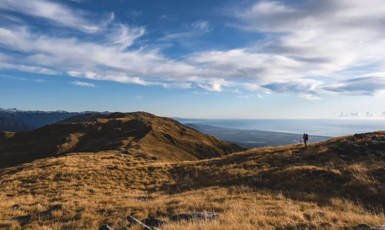
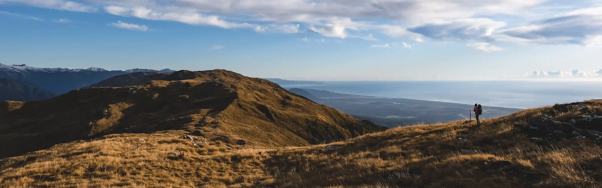
The Mataketake Tops Loop offers experienced trampers challenging opportunities within the rugged backcountry environment of South Westland.
Distance
33 km
Walking time
2 - 3 days
Difficulty
Expert
Dogs
Allowed — check local rules
Wheelchair access
Not marked friendly
Current status
No active alerts found. Conditions can still change, so check again before leaving.
Weather outlook
Issued 10 Oct 2026, 4:55 pm
10 October 2026
Mostly cloudy with showers, mainly about the ranges where some may be heavy. Northeasterlies, becoming strong in exposed places this afternoon.
11 October 2026
Showers, possibly heavy, retreating to the ranges in the afternoon, clearing in the evening. Northeasterlies, dying out in the afternoon.
12 October 2026
Fine. Northerlies developing for a time in the afternoon.
13 October 2026
Rain becoming persistent in the morning. Light winds.
14 October 2026
Rain with heavy falls easing to a few showers in the afternoon. Light winds.
Regional guidance only; elevation and terrain can produce different conditions.
Explore the area
Explore the track route and surrounding area before you set out.
Roadend to Blowfly Hut - 1 hr 30 min, 4 km The initial section of the track to Blowfly Hut detours from the original route to avoid a lowland swampy area around Windbag Creek. Once past the swampy area, it soon picks up the original line. The flat well-benched track then follows the Moeraki River to a junction about 1 hour’s walk away. Blowfly Hut lies a further 15-minutes’ walk from this junction, across the swing bridge and just past the track to the Mataketake Tops Routes. Mataketake Hut can be reached via the two routes described below, but to have the best opportunity to judge the weather conditions on the tops and enable easy retreat if needed, it is recommended to go up to the hut via the Maori Saddle Route. Blowfly Hut to Mataketake Hut via Maori Saddle Route - 7 hr 30 min The track to Maori Saddle winds its way steadily uphill through mixed beech, rimu and kāmahi forest, typical of southern Westland. Along the way, you will pass some good examples of stone culverts built by the mica miners. There is also a historic miner’s campsite near the helipad, 5 min before the Mica Mine Tops Route junction. Continuing towards Maori Saddle, sections of the track are quite rough, and in heavy rain, access becomes more difficult due to the numerous stream crossings. Crossings are marked, but the rocks are very slippery. Diversions where slips have destroyed the original track are well marked. There are some very large specimens of beech trees along this section and some relics of the historic ‘telegraph line’ that ran beside the track. The turn-off to Mataketake Hut via the Maori Saddle Route is signposted about 2 min after Maori Saddle Hut (approximately 4 hr 30 min from Blowfly Hut). The route up to the tops from here is well marked, but there are some steep sections to negotiate. When you reach the pole markers at the edge of the open tops (after a climb of about 2 hr 30 min), you will have a great view of Lake Dime. From the bush edge markers, follow the poled route for about 20 min to Mataketake Hut. Take extra care in poor visibility (or wait for the weather to clear before heading onto the tops). Return to the Haast to Paringa Cattle Track via the Maori Saddle Route or Mica Mine Tops Route, depending on the weather conditions. Blowfly Hut to Mataketake Hut via Mica Mine Tops Route - 6 hr 30 min The track to the Mica Mine Tops Route junction will take approximately 1 hr 30 min – 2 hr from Blowfly Hut. Before leaving the main track ensure you have plenty of water with you. The route leaves the Cattle Track and climbs up through the forest via 23 zigzags to a height of 960 m. Follow a marked route the rest of the way up a scrubby, rocky spur to the bushline. Once you are on the open tops, the route is poled and meanders southwest along the Mataketake Range, passing between tarns and rock fields. Return to the Cattle Track via the Maori Saddle Route or Mica Mine Tops Route depending on the weather conditions.
Hazards you may encounter include flooding in rivers and streams; windfall; rockfall; steep terrain; poor visibility and exposure in bad weather above the bushline; fast-changing weather; snow in winter. Ensure you have plenty of water for travel across the tops. Travel along the Mica Mine Tops Route should only be attempted in clear weather – above the bushline, low cloud can make navigation extremely difficult. If you are unsure about the conditions, wait for better weather. Only those with backcountry route-finding/navigation skills, safety equipment (including a personal locator beacon) and warm, weatherproof clothing should attempt this route. We recommend checking the latest conditions at the Department of Conservation Awarua / Haast Visitor Centre or Westland Tai Poutini National Park Visitor Centre before heading into this area as the conditions can change rapidly.
Mataketake Hut opened in February 2021. It was built by the Andy Dennis Trust and is owned and maintained by the Backcountry Trust. It is a serviced 8-bunk hut located at the southern end of the Mataketake Tops Route with views from the mountains to the sea. Mataketake Hut must be booked – hut tickets and backcountry hut passes are not valid for this hut Blowfly Hut is a standard eight-bunk hut at the northern end of the loop, which can serve as a good first night to enable an early start for the loop, or as a refuge after a big day. Bookings not required - first come, first served. Maori Saddle Hut is a standard 10-bunk hut positioned at Maori Saddle, where the climb to the ridge begins. Bookings not required.
The northern end of the Haast to Paringa Cattle Track is the starting point for this loop. It is signposted approximately 40 km north of Haast and 78 km south of Fox Glacier township along SH6 at the Windbag Saddle. There is a small parking area on the side of the road. Lock any vehicle you intend to leave at the road end and don’t leave valuables in it. Use this location in Google maps to find your way there.
We encourage you to continue gaining the skills and knowledge required for a safe trip. The NZ Mountain Safety Council has lots of free resources and information you can use. These can be accessed via www.mountainsafety.org.nz . We recommend trying these online learning tools: Trip Planning Tramping / field Skills Basic Navigation River Safety Additionally, check out the range of helpful videos available from the NZ Mountain Safety Council YouTube channel .
Dogs with a DOC permit only. Contact closest DOC office to get a permit.
Track information, access and weather can change. Confirm current alerts and land-manager information close to departure, tell someone your plans, and carry equipment appropriate for the route and conditions.