10 October 2026
Mostly cloudy, but some afternoon fine spells. Rain developing at night about and west of Taranaki Maunga, possibly heavy. Northerlies.
Loading outdoor place details…
Whanganui National Park
Walk deep into the wilderness of the Whanganui National Park on old Māori trail and settlers’ dray road. Shorter day and overnight opportunities are also available.
Distance
42 km
Walking time
3 - 5 days
Difficulty
Advanced
Dogs
Not allowed
Wheelchair access
Not marked friendly
Current status
Weather outlook
Issued 10 Oct 2026, 4:55 pm
10 October 2026
Mostly cloudy, but some afternoon fine spells. Rain developing at night about and west of Taranaki Maunga, possibly heavy. Northerlies.
11 October 2026
Showers, possibly heavy with thunderstorms, clearing to fine spells in the afternoon. Clouding over in the evening with rain north of Taranaki Maunga. Northwesterlies dying out in the evening.
12 October 2026
A few showers. Westerlies, turning northerly before dawn.
13 October 2026
Occasional rain, clearing in the evening. Northwesterlies.
14 October 2026
Rain becoming persistent in the evening. Northerlies.
Regional guidance only; elevation and terrain can produce different conditions.
Explore the area
Explore the track route and surrounding area before you set out.
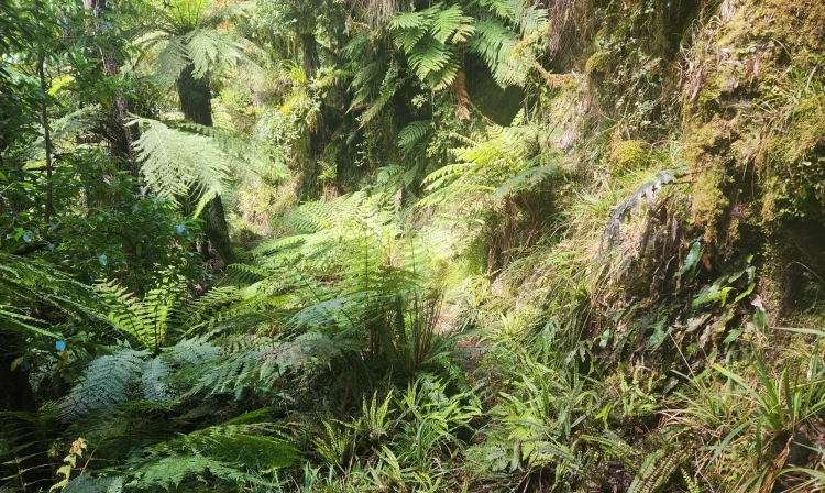
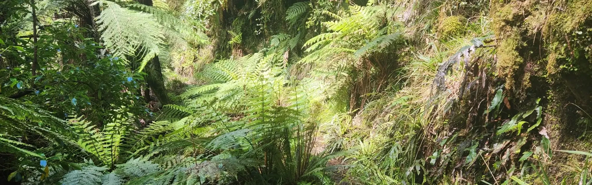
The track traverses dense, bush-clad hill country between Taranaki and the Whanganui River. Kohi Saddle to Omaru Hut Time : 1 hr 30 min Distance : 5.6 km The track starts at Kohi Saddle in regenerating bush, then climbs along a spur, entering thicker forest as it ascends to the crest of the Matemateāonga Range. Omaru Hut to Pouri Hut Time : 5 hr Distance : 13.3 km The track continues along the top of the Matemateāonga Range, initially passing through dense bush on the southwestern side before crossing to the northern flank. On clear days, you may catch glimpses of the volcanoes in Tongariro National Park. About 3 hours 30 minutes from Omaru Hut, a signposted track branches off to the summit of Mt Humphries (732 m), known to Māori as Whakaihuwaka, meaning "made like the prow of a canoe." The name refers to the skyline shape of Mt Humphries and the Matemateāonga Range. This 1 hour 30 minute return side trip offers panoramic views of three national parks: Whanganui, Egmont, and Tongariro. Returning to the main track, it’s a 30-minute walk to Humphries’ Clearing, and from there, another hour to Pouri Hut. Pouri Hut to Ngapurua Hut Time : 3 hr 15 min Distance : 10.4 km The track remains an easy walk, following the gentle crest of the range. Ngapurua Hut to Puketotara Hut Time : 3 hr 30 min Distance : 11.7 km The track maintains a gentle gradient, offering occasional views to the north. Puketotara Hut to Whanganui River Time : 1 hr Distance : 1.7 km From Puketotara Hut, the track drops sharply off the Matemateāonga Range, winding steeply through bush down to the banks of the Whanganui River. This section is under maintenance, so take care. Just beyond the hut, you’ll be rewarded with a sweeping view of the Whanganui River, with the Tongariro peaks visible on the eastern horizon. A large sign marks the rendezvous point for the jet boat and the start of the river journey to Pipiriki. An emergency phone is available at the Bridge to Nowhere Lodge.
This area is remote with no cell phone coverage. It is recommended that you carry a PLB with you. There are multiple drop-offs on this track. Care should be taken while passing these. There may be windfalls on the track after weather events. During dry periods, extra water should be carried as the hut water may be dry or stagnant. Treat or boil all water before drinking. Wasps are a known hazard and are particularly common from January until May. Carry antihistamine if you are allergic to their stings.
Omaru Hut Pouri Hut Ngapurua Hut Puketotara Hut
The track is reached from SH 43 at Strathmore, east of Stratford, where the signpost indicates the road to Upper Mangaehu Road. The track entrance at Kohi Saddle is 20 minutes away. There are kilometre posts along the track from Kohi Saddle to Puketotara Hut. They do not continue down to the Whanganui River. Use this location on Google Maps to help find your way there. Transport by jet boat must be arranged with a transport operator, to either pick up or drop off your party at the river end of the track.
We encourage you to continue gaining the skills and knowledge required for a safe trip. The NZ Mountain Safety Council has lots of free resources and information you can use. These can be accessed via www.mountainsafety.org.nz . We recommend trying these online learning tools: Trip Planning Tramping / field Skills Basic Navigation River Safety Additionally, check out the range of helpful videos available from the NZ Mountain Safety Council YouTube channel
No dogs.
Track information, access and weather can change. Confirm current alerts and land-manager information close to departure, tell someone your plans, and carry equipment appropriate for the route and conditions.