11 October 2026
Showers, possibly heavy, clearing in the afternoon with increasing fine spells. Periods of rain developing west of Tauranga late evening. Northerlies, turning westerly in the afternoon.
Loading outdoor place details…
Rotorua
Get a complete 360 degree view over the region, after climbing Maunga Kākaramea Summit Track.
Distance
6.28 km
Walking time
2-3 hours
Difficulty
Intermediate
Dogs
Not allowed
Wheelchair access
Not marked friendly
Current status
No active alerts found. Conditions can still change, so check again before leaving.
Weather outlook
Issued 10 Oct 2026, 11:01 pm
11 October 2026
Showers, possibly heavy, clearing in the afternoon with increasing fine spells. Periods of rain developing west of Tauranga late evening. Northerlies, turning westerly in the afternoon.
12 October 2026
A few showers. Northwesterlies developing for a time in the afternoon and evening.
13 October 2026
A few showers. Northwesterlies developing in the morning.
14 October 2026
A few showers. Northwesterlies developing in the morning.
15 October 2026
A few showers, some possibly heavy. Northwesterlies.
Regional guidance only; elevation and terrain can produce different conditions.
Explore the area
Explore the track route and surrounding area before you set out.
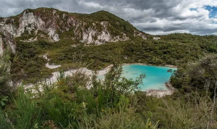
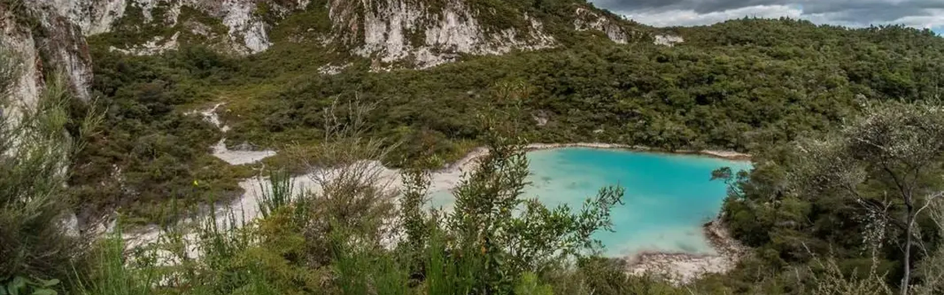
This track begins with the easy Crater Lake Walk, reaching two crater lakes in about 15 minutes. From there, continue uphill through regenerating native bush and past colourful, steaming ridges. Enjoy frequent viewpoints along the way, or carry on to the summit for a full 360-degree panorama. The summit is around 1.5 hours from the crater lakes - watch for vehicles in the final stretch. From the top, take in sweeping views of Mt Tarawera, nearby lakes, the Paeroa Range, Te Urewera and Kaimanawa Forests, and the volcanic peaks of Tongariro National Park.
Open to uphill mountain biking only, the Maunga Kākaramea Summit Track is part of a fantastic mountain bike loop . Start on the Te Ara Ahi Cycle Trail (Grade 2 - Easy) from the carpark on SH 5 or at Te Ranga (Kerosene Creek). Ride uphill on Te Tihi O Ruru (the summit track) and descend on Te Ranga, a downhill mountain bike only track (Grade 4 - Advanced). Cyclists can reach Maunga Kākaramea by following Te Ara Ahi, a 66 km section of the Nga Haerenga, The New Zealand Cycle Trail that includes Maunga Kākaramea Scenic Reserve.
There are toilet facilities at the beginning of the track. Dogs are not permitted. This is a shared-use track.
Maunga Kākaramea (previously known as Rainbow Mountain) lies 26 km south-east of Rotorua, beside SH 5 (the Rotorua-Taupo highway). Approaching from Rotorua the carpark is situated just past the turnoff for SH 38 (the Murupara/ Waikaremoana highway), on the left-hand side of the road. Use this location in Google Maps to find your way there.
We encourage you to continue gaining the skills and knowledge required for a safe trip. The NZ Mountain Safety Council has lots of free resources and information you can use. These can be accessed via www.mountainsafety.org.nz . Level up in your outdoor knowledge with these interactive online learning tools: Trip Planning Tramping / field Skills Basic Navigation River Safety Additionally, check out the range of helpful videos available from the NZ Mountain Safety Council YouTube channel .
No dogs allowed.
Track information, access and weather can change. Confirm current alerts and land-manager information close to departure, tell someone your plans, and carry equipment appropriate for the route and conditions.