11 October 2026
Fine, apart from showers before dawn, then some cloud in the west from afternoon. Northerlies changing westerly in the morning, dying out early evening.
Loading outdoor place details…
Dargaville area
Climb up and over an ancient volcanic crater for some of the best views in the region - pass through some pristine coastal vegetation dominated by Pohutukawa.
Distance
2.6 km
Walking time
1 hr 30 min to Maunganui Bluff | 5 hr to Waikara Beach one way
Difficulty
Easy, Advanced
Dogs
Allowed — check local rules
Wheelchair access
Not marked friendly
Current status
No active alerts found. Conditions can still change, so check again before leaving.
Weather outlook
Issued 10 Oct 2026, 11:01 pm
11 October 2026
Fine, apart from showers before dawn, then some cloud in the west from afternoon. Northerlies changing westerly in the morning, dying out early evening.
12 October 2026
Partly cloudy. Westerlies.
13 October 2026
Partly cloudy, with isolated showers in the afternoon and evening. Northwesterlies.
14 October 2026
Partly cloudy with isolated showers developing in the morning. Northwesterlies.
15 October 2026
Occasional rain, clearing. Northerlies, turning westerly.
Regional guidance only; elevation and terrain can produce different conditions.
Explore the area
Explore the track route and surrounding area before you set out.
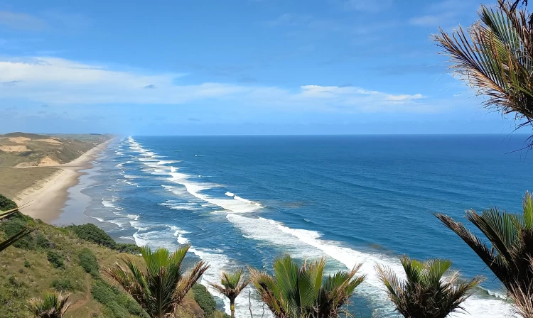
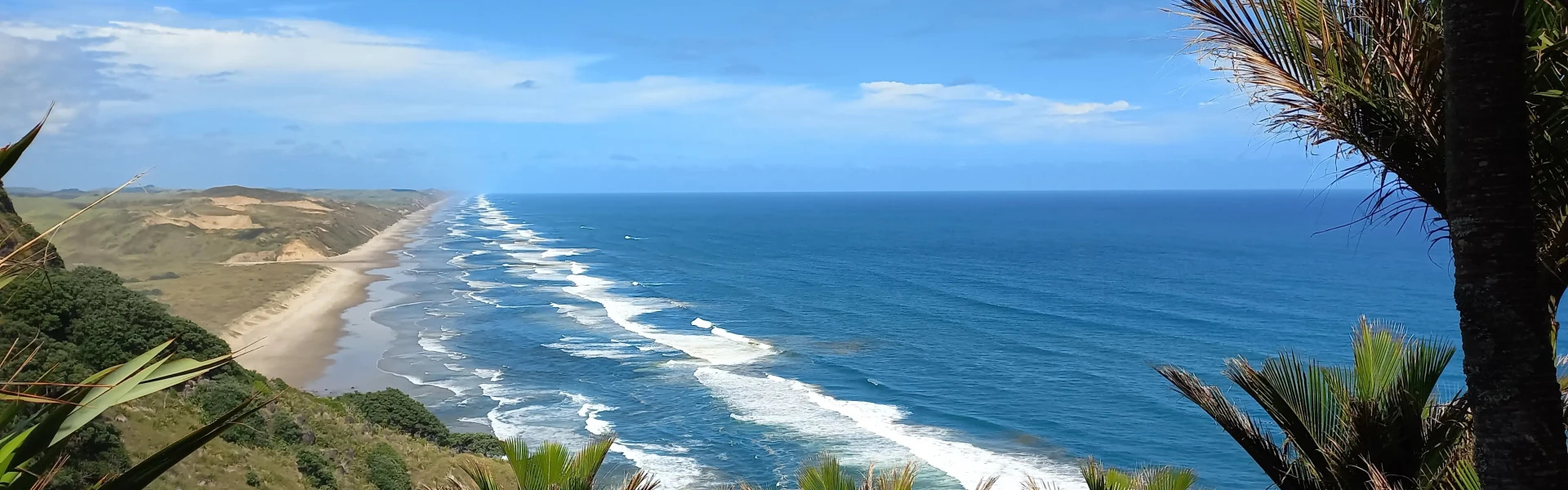
This coastal and forest track offers magnificent views of the Tasman surf on Northland’s west coast, north of Dargaville. Beginning from Aranga Beach, this track zig zags up the impressive volcanic remnant known as Maunganui Bluff through rare coastal forest and across farmland, offering spectacular views over the ocean and Ripiro Beach. The Bluff is set in a 495 hectare scenic reserve and rises 460 metres over the sea below. The track rises steadily and is an easy to moderate walk suitable for families. It links with Kaiiwi Lakes Walk at Aranga Beach. From the summit, the track descends into the Waitapu Saddle, then climbs once more before heading down onto the beach. There is a camping area but no facilities at the end of the track. Return the same way as there is no road access to this end of the track.
Be prepared for steep sections with some slippery footing.
Maunganui Bluff Track can be reached from Aranga Beach Road, 40km north of Dargaville, where there is a carpark at the trailhead. Alternative access is possible via Waitapu Road and Waikara Beach. Use this location in Google Maps to find your way there.
We encourage you to continue gaining the skills and knowledge required for a safe trip. The NZ Mountain Safety Council has lots of free resources and information you can use. These can be accessed via www.mountainsafety.org.nz . We recommend trying these online learning tools: Trip Planning Tramping / field Skills Basic Navigation River Safety Additionally, check out the range of helpful videos available from the NZ Mountain Safety Council YouTube channel .
Dogs allowed. Keep dog under control at all times.
Track information, access and weather can change. Confirm current alerts and land-manager information close to departure, tell someone your plans, and carry equipment appropriate for the route and conditions.