10 October 2026
Cloudy, then showers from afternoon, possibly heavy and thundery with hail.
Loading outdoor place details…
Arthur's Pass National Park
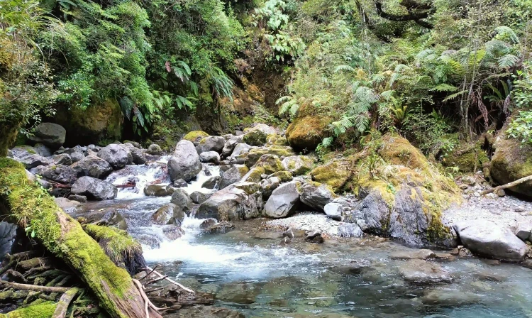
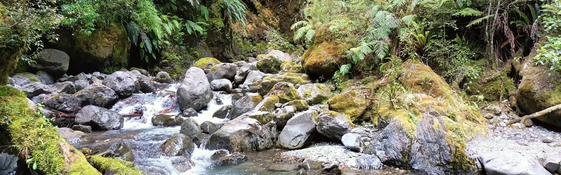
This route travels the eastern and northern flanks of Arthur's Pass National Park. The sections through the upper Minchin Stream and Townsend Creek are more adventurous.
Distance
41.96 km
Walking time
3 - 4 days
Difficulty
Expert
Dogs
Not allowed
Wheelchair access
Not marked friendly
Current status
Weather outlook
Issued 10 Oct 2026, 7:33 am
10 October 2026
Cloudy, then showers from afternoon, possibly heavy and thundery with hail.
11 October 2026
A few showers, mainly in the west, clearing in the evening. Snow to 2000 metres at first.
12 October 2026
Fine.
13 October 2026
Showers.
14 October 2026
Heavy rain easing.
Regional guidance only; elevation and terrain can produce different conditions.
Explore the area
Explore the track route and surrounding area before you set out.
Read the reviews below If you've walked this track before, please leave a track review and photos below. Get ready to go Use the Land Safety Code to help you plan, prepare, and stay safe on your trip. Choose the right trip for you - Learn about the route and make sure you have the skills for it. Understand the weather - It can change fast. Check the forecast and change your plans if needed. Pack warm clothes and extra food - Prepare for bad weather and an unexpected night out. Share your plans and take ways to get help - Telling a trusted person your trip details and taking a distress beacon can save your life. Take care of yourself and each other - Eat, drink and rest, stick with your group and make decisions together.
No dogs.
Track information, access and weather can change. Confirm current alerts and land-manager information close to departure, tell someone your plans, and carry equipment appropriate for the route and conditions.