10 October 2026
Cloud, low about the foothills, breaking up in the morning. Scattered showers developing in the afternoon, possibly heavy and thundery with hail.
Loading outdoor place details…
Craigieburn Forest Park
This track climbs from the Craigieburn picnic area to Lyndon Saddle
Distance
4.22 km
Walking time
1 hr 30 min
Difficulty
Intermediate
Dogs
Allowed — check local rules
Wheelchair access
Not marked friendly
Current status
Weather outlook
Issued 10 Oct 2026, 7:33 am
10 October 2026
Cloud, low about the foothills, breaking up in the morning. Scattered showers developing in the afternoon, possibly heavy and thundery with hail.
11 October 2026
Fine, apart from showers before dawn.
12 October 2026
Fine.
13 October 2026
A few showers.
14 October 2026
Rain turning to showers. Snow lowering to 1800 metres.
Regional guidance only; elevation and terrain can produce different conditions.
Explore the area
Explore the track route and surrounding area before you set out.
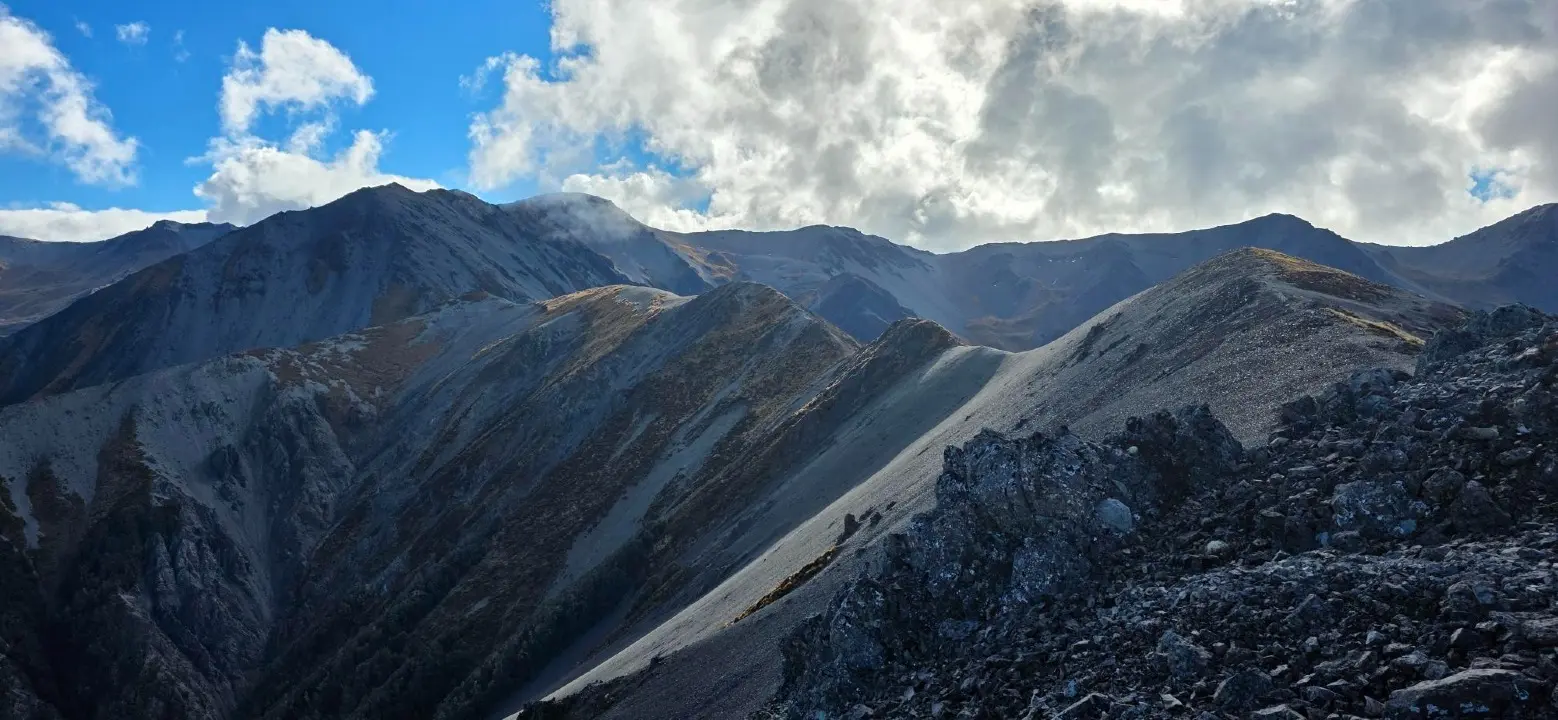
The track begins by the shelter at the Craigieburn picnic area. It crosses Cave Stream and grassy terraces before climbing steeply through regenerating mountain beech forest to Lyndon Saddle. As the track approaches Lyndon Saddle there is avalanche danger from Helicopter Hill. Avalanches can reach into the forest and cross the track. It is best to walk this track outside of winter and early spring when there is no snow on Helicopter Hill. Always check the NZ Avalanche Advisory before you go. At the saddle there are junctions with other tracks. You can return the same way to Craigieburn picnic area, or continue on The Luge Track or Helicopter Hill Track .
No mountain biking or fires This is a popular family walk and mountain biking is not permitted. Bikes are welcome on The Luge Track nearby, as well as other tracks in the area. Fires are not allowed anywhere in Craigieburn Forest Park. This track is very exposed Most of the route is above the bushline with no shelter. In summer it can be very hot, so carry plenty of water and sun protection. In winter snow is common and the track can be icy. At any time of year, bad weather brings strong wind, rain and cold. Always check the forecast and carry warm layers and a waterproof jacket. Wasps in summer and autumn Wasp numbers are high from January to March. Wear light coloured clothing and carry antihistamine cream or tablets as a precaution.
Turn off State Highway 73 into the Broken River Skifield Road, around 108 km from Christchurch. Use this location in Google Maps to find your way there.
We encourage you to continue gaining the skills and knowledge required for a safe trip. The NZ Mountain Safety Council has lots of free resources and information you can use. These can be accessed via www.mountainsafety.org.nz . Level up in your outdoor knowledge with these interactive online learning tools: Trip Planning Tramping / field Skills Basic Navigation River Safety Additionally, check out the range of helpful videos available from the NZ Mountain Safety Council YouTube channel .
Dogs allowed. Keep dog under control at all times.
Track information, access and weather can change. Confirm current alerts and land-manager information close to departure, tell someone your plans, and carry equipment appropriate for the route and conditions.