10 October 2026
Low cloud, with patchy morning drizzle, then the chance of an evening shower. Northeasterlies, strong in exposed places, easing at night.
Loading outdoor place details…
Port Hills
This popular walk forms part of the Sugarloaf Circuit, allowing walkers to experience the Lyttelton Harbour side of the Port Hills.
Distance
2.17 km
Walking time
45 mins
Difficulty
Easy
Dogs
On-lead only
Wheelchair access
Not marked friendly
Current status
No active alerts found. Conditions can still change, so check again before leaving.
Weather outlook
Issued 10 Oct 2026, 10:55 am
10 October 2026
Low cloud, with patchy morning drizzle, then the chance of an evening shower. Northeasterlies, strong in exposed places, easing at night.
11 October 2026
Partly cloudy. Northeasterlies, dying out in the evening.
12 October 2026
Fine. Light winds, then northeasterlies developing in the afternoon.
13 October 2026
Fine, but becoming cloudy in the evening. Northwesterlies developing in the morning.
14 October 2026
Rain easing to isolated showers in the afternoon. Southwesterlies developing in the morning.
Regional guidance only; elevation and terrain can produce different conditions.
Explore the area
Explore the track route and surrounding area before you set out.
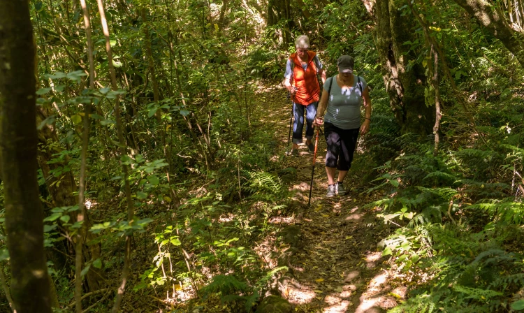
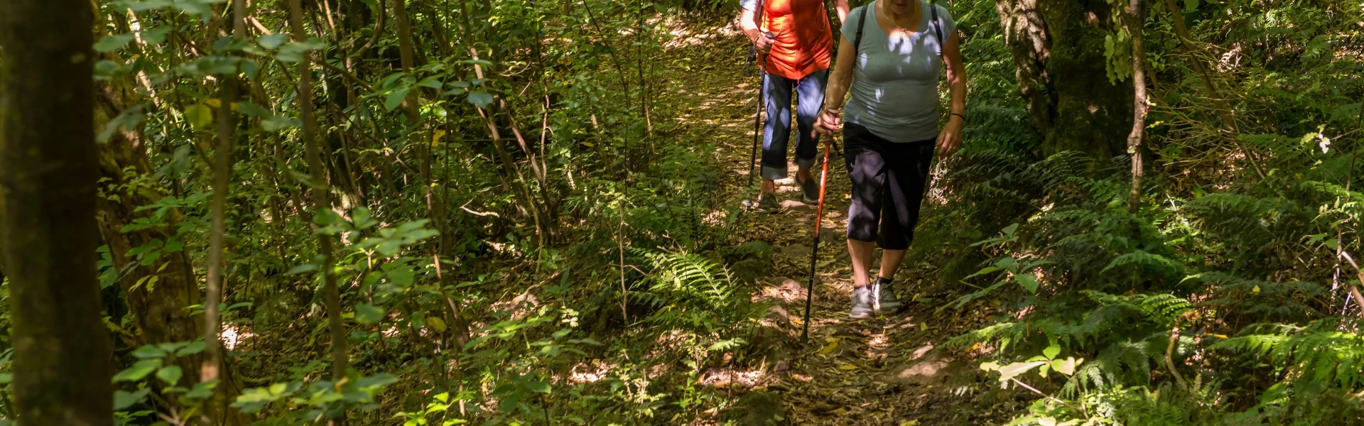
Start at Dyers Pass Road, opposite the Sign of the Kiwi. The track climbs initially through lovely native bush to a rocky spur where spectacular views across Lyttelton Harbour can be enjoyed. The track re-enters the native bush and sidles steep rocky bluffs to exit just below Bowenvale car park on the Summit Road. Gilpins or Cedrics Track can be picked up from this point to make a return trip to Dyers Pass.
On Leash
Track information, access and weather can change. Confirm current alerts and land-manager information close to departure, tell someone your plans, and carry equipment appropriate for the route and conditions.