9 October 2026
Cloudy with patchy drizzle in the east, but lifting for a time in the afternoon and evening. Fine in the west.
Loading outdoor place details…
Tararua Forest Park
The Barra Track follows the Waingawa River to Mitre Flats and Mitre Flats Hut.
Distance
8.2 km
Walking time
8 - 9 hr return
Difficulty
Advanced
Dogs
Allowed — check local rules
Wheelchair access
Not marked friendly
Current status
Weather outlook
Issued 9 Oct 2026, 7:33 am
9 October 2026
Cloudy with patchy drizzle in the east, but lifting for a time in the afternoon and evening. Fine in the west.
10 October 2026
Low cloud with patchy drizzle in the east in the morning, fine in the west. In the afternoon, cloud and a few showers spreading elsewhere but cloud lifting to about the tops.
11 October 2026
A few showers, turning to rain for a time in the morning.
12 October 2026
Partly cloudy.
13 October 2026
Mostly cloudy with isolated showers.
Regional guidance only; elevation and terrain can produce different conditions.
Explore the area
Explore the track route and surrounding area before you set out.
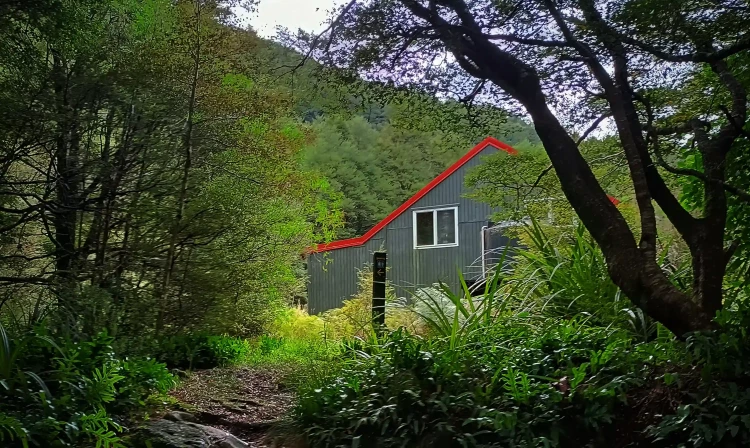
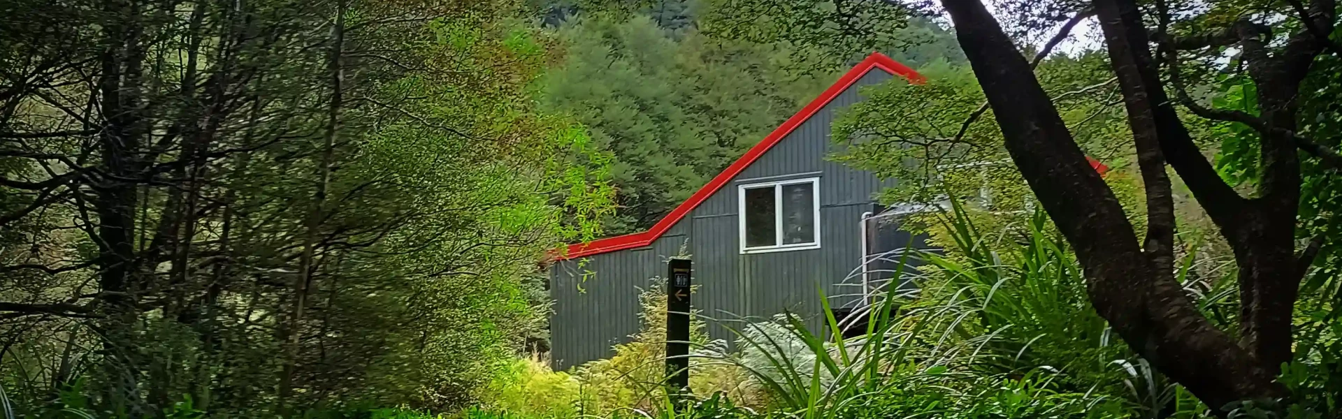
The track follows the true left of the Waingawa River, reaching Mitre Flats and the hut in about 4 to 5 hours. Start by walking along an easy farm track beside the Waingawa River. After about 30 minutes, you’ll reach a signed entrance to an access road through private farmland. From there, the track leads to a stile, then descends to river flats before climbing to a higher terrace. The Mitre Flats Track, also known as the Barra Track, continues along the Waingawa River, with most of the walk taking place through bush above the river. Slippery, wet rocks and tangled roots can slow your progress, and you’ll need to scramble through creeks, navigate around fallen trees, and cross old slips. After nearly five hours, the track descends steeply to the river. You’ll cross a swing bridge and see a sign pointing to Mitre Flats Hut , just five minutes away. The hut is located in a large grassy clearing with views of the river and a fire, making it a great spot for sheltered camping. This hut can be busy, so it might be a good idea to take a sleeping mat in case you miss out on a bunk, or a tent for if the hut is full.
From Masterton turn off State Highway 2 into Upper Plain Road and then into Upper Waingawa Road to the Pines carpark where you'll find a DOC sign/information shelter on your right. There is a place to park next to it (on the grass). To enter the track you walk through a farm, the gate is to the right of the information shelter. Use this location in Google Maps to help your way there.
We encourage you to continue gaining the skills and knowledge required for a safe trip. The NZ Mountain Safety Council has lots of free resources and information you can use. These can be accessed via www.mountainsafety.org.nz . We recommend trying these online learning tools: Trip Planning Tramping / field Skills Basic Navigation River Safety Additionally, check out the range of helpful videos available from the NZ Mountain Safety Council YouTube channel
Dogs allowed. Keep dog under control at all times.
Track information, access and weather can change. Confirm current alerts and land-manager information close to departure, tell someone your plans, and carry equipment appropriate for the route and conditions.