11 October 2026
Showers about the Divide, clearing early evening, otherwise fine.
Loading outdoor place details…
Arrowtown area
The Motatapu Track follows much of an historic route that linked the Wānaka and Arrowtown areas. It's a demanding alpine tramp for experienced parties. This track is part of Te Araroa Trail.
Distance
49 km
Walking time
3 - 4 days
Difficulty
Advanced
Dogs
Not allowed
Wheelchair access
Not marked friendly
Current status
Weather outlook
Issued 11 Oct 2026, 9:23 pm
11 October 2026
Showers about the Divide, clearing early evening, otherwise fine.
12 October 2026
Fine.
13 October 2026
Rain in the afternoon and evening, otherwise partly cloudy with isolated showers.
14 October 2026
A few showers.
15 October 2026
A few showers developing.
Regional guidance only; elevation and terrain can produce different conditions.
Explore the area
Explore the track route and surrounding area before you set out.
The track meanders gently along the true right of the Fern Burn through riparian shrubland and grassy flats before climbing into a forest of mountain, silver and red beech. At this point the Fern Burn narrows and cascades and waterfalls become a feature. The track briefly enters the 4,144 ha Stack Conservation Area, which has other access points from the Spotts Creek and Roys Peak tracks.
This leg is more arduous. It continues along the Upper Fern Burn through tussock country before reaching 1,275-metre Jack Hall’s Saddle - it and the nearby creek were named after a local shepherd. Then there's a steep descent into a creek bed, before traversing another two ridges descending to Highland Creek. The 12-bunk hut of the same name nestles in this spectacular upland basin.
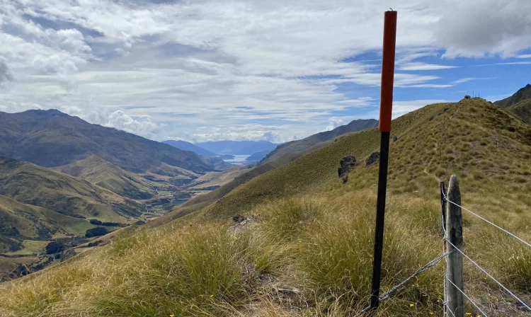
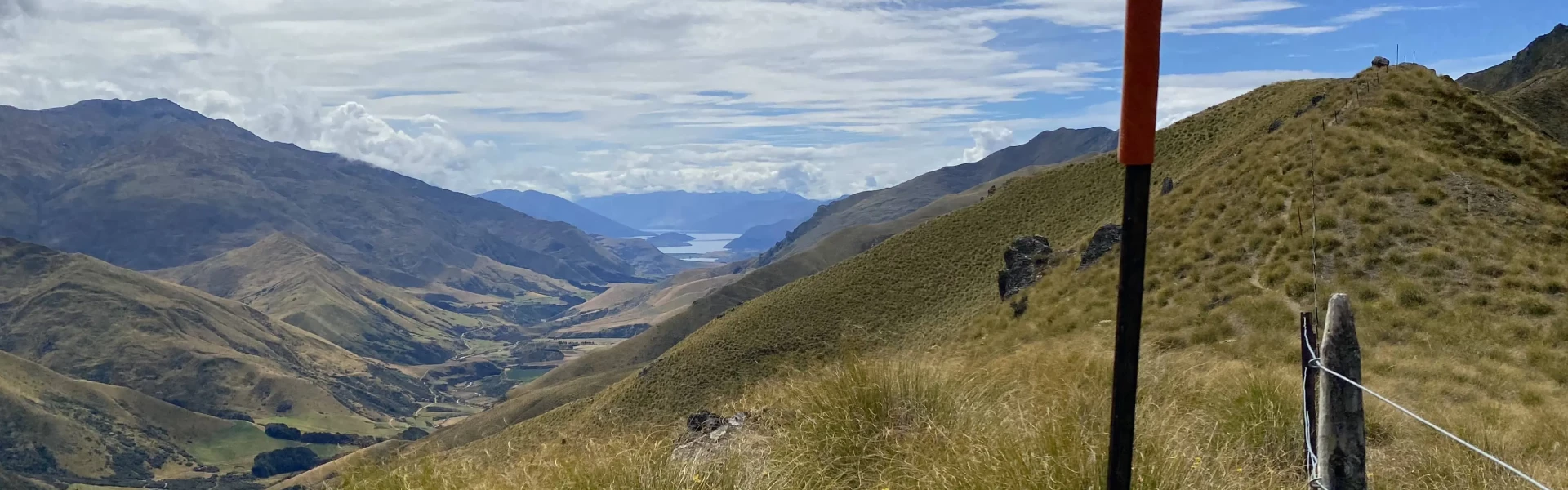
After crossing Highland Creek the marked track sidles and climbs above an unnamed creek onto a prominent spur. It continues up this spur before sidling along a steep tussock face; stunning views across the Motatapu Valley are a highlight of this section. The track then drops into a small gully and crosses the creek through a small patch of beech forest, then climbs out onto the leading south-west ridge off Knuckle Peak. Follow down this ridge to the Motatapu River. The 12-bunk Roses Hut is an easy tramp across the open flats.
Cross the small creek to the old pack track that climbs the main ridge above 1,270 m Roses Saddle. At the crossover point between the Motatapu and Arrow catchments, the ridge descends to the Arrow River. During low and normal river levels, it’s quicker following the river to Macetown. This way you pass old gold workings, especially hand-stacked, stone walls. If the river is high or discoloured, follow the track that sidles above the river before joining an old water race that leads to Macetown, passing several small dams and other gold mining relics.
From Macetown, a 15 km 4WD road winds its way to Arrowtown. In good conditions, the numerous river crossings may be negotiated by 4WD vehicles or trampers with care. If the river is too high then you are advised to wait. An alternative route via Big Hill Track (4-5 hrs) starts from the 4WD road 20 minutes from Macetown. Although this route avoids some of the larger river crossings, it climbs above 1000 m and is not recommended in adverse weather. In fine conditions, it repays the effort with views over the Wakatipu Basin and beyond.
The Motatapu Track is suitable for experienced trampers only, due to its exposed and challenging terrain. Several steep sidles require care–increase your travel times if not confident in this type of country. Rivers and streams can rise rapidly. Never cross a flooded river, wait, or turn back if conditions are unsafe for crossing. In summer, carry plenty of water as water sources are limited, and have adequate sun protection. Wintry conditions can occur at any time of the year, with higher country subject to snow especially during winter. Be avalanche alert: This area has terrain that can produce avalanches that cross the track, usually from May through to November.
Huts and campsites do not require bookings. As the track forms part of Te Araroa Trail, the huts can be busy over summer, so bring a tent.
Access to either end is by foot, shuttle or vehicle. From Arrowtown, the vehicle needs to be a 4WD as the track start/finish is at Macetown, 15 km and 22 river crossings away. Many walkers choose to continue on foot to Arrowtown. Macetown itself, once a thriving, isolated gold mining settlement, is well worth exploring and has a fully interpreted walk. At the other end, the Fern Burn car park is 12 km from Wanaka. Take Motatapu Road south off Wanaka–Mount Aspiring Road. Use this location in Google Maps to find your way there.
We encourage you to continue gaining the skills and knowledge required for a safe trip. The NZ Mountain Safety Council has lots of free resources and information you can use. These can be accessed via www.mountainsafety.org.nz . We recommend trying these online learning tools: Trip Planning Tramping / field Skills Basic Navigation River Safety Additionally, check out the range of helpful videos available from the NZ Mountain Safety Council YouTube channel .
Heavy rain and strong winds are most likely from the west but southerly wind changes can bring rapidly deteriorating conditions with snow likely in the colder months. Be prepared by having warm and waterproof clothing and the appropriate footwear. In the warmer months, heat, sun exposure and dehydration pose risks. Carry plenty of water, as water sources are limited, and have adequate protection against the sun.
No dogs.
Track information, access and weather can change. Confirm current alerts and land-manager information close to departure, tell someone your plans, and carry equipment appropriate for the route and conditions.