10 October 2026
Cloud developing about the tops in the morning, then showers from afternoon, possibly heavy and thundery with hail.
Loading outdoor place details…
Arthur's Pass National Park
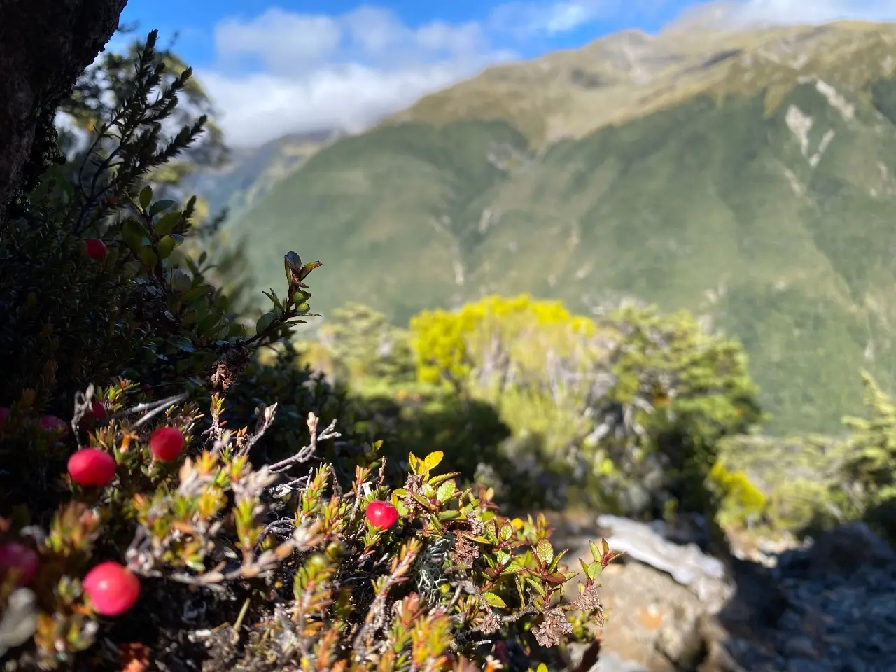
Climb steeply to the bush line for stunning views or access to Mount Aicken for trampers with off-track navigation and scrambling experience
Distance
4.2 km
Walking time
5 - 6 hours return
Difficulty
Advanced
Dogs
Not allowed
Wheelchair access
Not marked friendly
Current status
Weather outlook
Issued 9 Oct 2026, 9:24 pm
10 October 2026
Cloud developing about the tops in the morning, then showers from afternoon, possibly heavy and thundery with hail.
11 October 2026
A few showers, clearing in the evening.
12 October 2026
Fine.
13 October 2026
Showers.
14 October 2026
Heavy rain easing.
Regional guidance only; elevation and terrain can produce different conditions.
Explore the area
Explore the track route and surrounding area before you set out.
Start on the Devils Punchbowl Walking Track at the northern end of Arthur's Pass village, just off the state highway. The turnoff for the Mt Aitken Track is signposted 15 min up the Devils Punchbowl Walking Track. The track climbs steeply through native beech forest, passing an old pipeline that once fed a hydroelectric generator, for about 300 vertical metres before flattening out a bit, after which there’s another about 200m of more vertical climbing util you reach the bushline. The track is rough in places, and it is important to stay on the marked track as steep vertical drops/cliffs exist not far off the marked track, especially on the northern side. Once you reach the bushline there is no track or markings. Enjoy the views and turn around to return the way you came. The terrain above the bushline is challenging and unforgiving. Loose rock, hidden cliffs and tussock make travel difficult, and the frequently bad weather mean that this environment is only suitable for highly experienced trampers or climbers. Excellent off-track navigation is required. Under no circumstances should you attempt to reach Devils Punchbowl Falls or attempt to travel off-track back down to the carpark. If you wish to view the impressive waterfall the only safe option is the Devils Punchbowl Walking Track .
The track starts from the Devils Punchbowl carpark, just off the state highway, a couple of minutes’ walk from the Arthur’s Pass township. Use this location in Google Maps to find your way there.
We encourage you to continue gaining the skills and knowledge required for a safe trip. The NZ Mountain Safety Council has lots of free resources and information you can use. These can be accessed via www.mountainsafety.org.nz . We recommend trying these online learning tools: Trip Planning Tramping / field Skills Basic Navigation River Safety Additionally, check out the range of helpful videos available from the NZ Mountain Safety Council YouTube channel .
No dogs.
Track information, access and weather can change. Confirm current alerts and land-manager information close to departure, tell someone your plans, and carry equipment appropriate for the route and conditions.