10 October 2026
Partly cloudy with the odd shower, mainly at night. Northeasterlies.
Loading outdoor place details…
Wairarapa
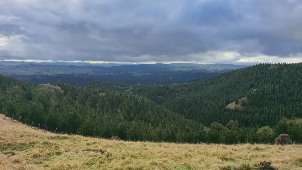
Walk to the highest point in the park and see outstanding views from the Tararua Range to Castlepoint.
Distance
5 km
Walking time
2 hr
Difficulty
Easy
Dogs
On-lead only
Wheelchair access
Not marked friendly
Current status
No active alerts found. Conditions can still change, so check again before leaving.
Weather outlook
Issued 10 Oct 2026, 4:55 pm
10 October 2026
Partly cloudy with the odd shower, mainly at night. Northeasterlies.
11 October 2026
A few showers, possibly heavy, clearing to fine in the afternoon. Northeasterlies, turning northwesterly in the morning.
12 October 2026
Fine. Northwesterlies, dying out for a time in the afternoon and evening.
13 October 2026
A few showers. Northwesterlies.
14 October 2026
Showers developing in the morning. Northwesterlies.
Regional guidance only; elevation and terrain can produce different conditions.
Explore the area
Explore the track route and surrounding area before you set out.
Stunning 360-degree views of the Wairarapa from the Tararua Ranges to the coast near Castlepoint are what await those who tackle this 2-hour journey. The stunning views of the surrounding countryside make the steady climb along on farm tracks in open grassland worth the effort. The Mt Clyde Trig is accessible on this route which has an elevation of 500m and the carpark about 200m, so it involves a 300m climb.
The only toilets are at the start of the Totara Loop / end of the Access Track.
Access Track joins Mt Clyde Track at the toilet block. However, for a more complete walk the native bush Matai Loop connects via an ‘other’ track. At a clearing on the Matai Loop you’ll see the Mt Clyde Track and can walk the 50m or so across a grassy downhill slope. Use this location in Google Maps to find your way there.
We encourage you to continue gaining the skills and knowledge required for a safe trip. The NZ Mountain Safety Council has lots of free resources and information you can use. These can be accessed via www.mountainsafety.org.nz . We recommend trying these online learning tools: Trip Planning Tramping / field Skills Basic Navigation River Safety Additionally, check out the range of helpful videos available from the NZ Mountain Safety Council YouTube channel .
Yes (on lead)
Track information, access and weather can change. Confirm current alerts and land-manager information close to departure, tell someone your plans, and carry equipment appropriate for the route and conditions.