10 October 2026
Partly cloudy with the odd shower, mainly at night. Northeasterlies.
Loading outdoor place details…
Catchpool Valley & Ōrongorongo Valley
Fit trampers can climb the tallest peak in the Remutaka range (941m) and the nearest to Wellington.
Distance
25.8 km
Walking time
11 - 12 hr return
Difficulty
Advanced
Dogs
On-lead only
Wheelchair access
Not marked friendly
Current status
Weather outlook
Issued 10 Oct 2026, 4:55 pm
10 October 2026
Partly cloudy with the odd shower, mainly at night. Northeasterlies.
11 October 2026
A few showers, possibly heavy, clearing to fine in the afternoon. Northeasterlies, turning northwesterly in the morning.
12 October 2026
Fine. Northwesterlies, dying out for a time in the afternoon and evening.
13 October 2026
A few showers. Northwesterlies.
14 October 2026
Showers developing in the morning. Northwesterlies.
Regional guidance only; elevation and terrain can produce different conditions.
Explore the area
Explore the track route and surrounding area before you set out.
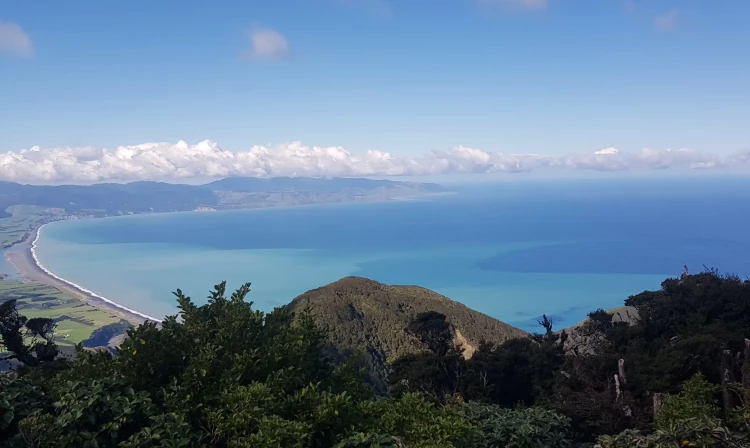
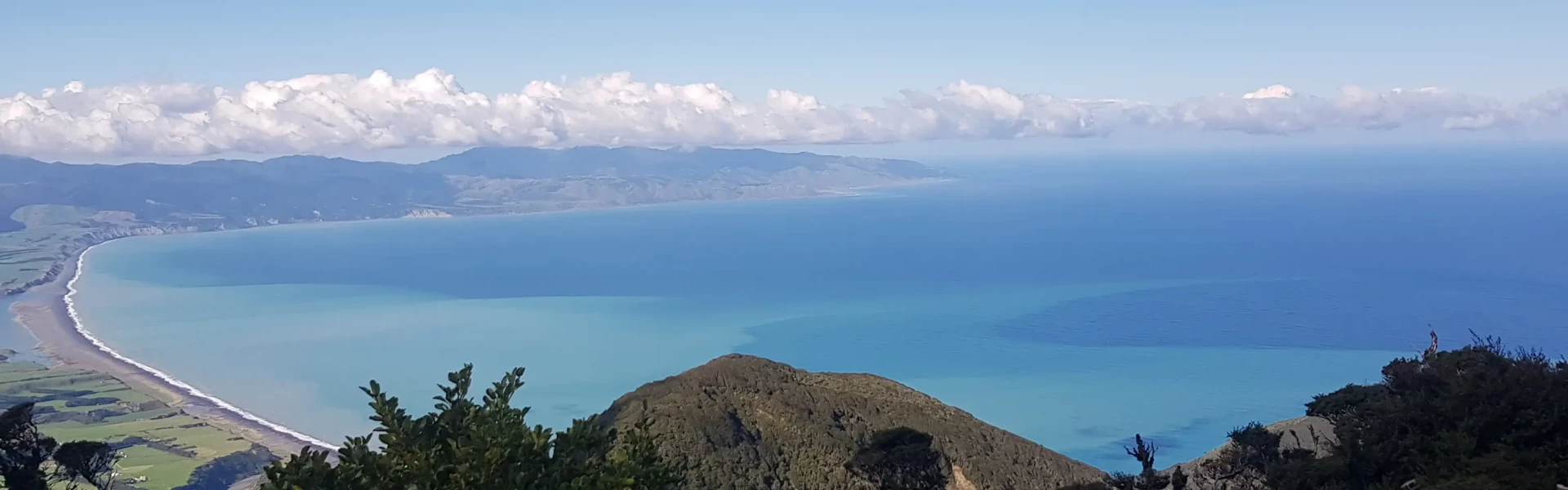
The tramping track to Mt Matthews is a challenging climb, best suited for fit trampers. It can be done as a long day walk or an overnight tramp. Begin by following the gentle gradient of the Ōrongorongo Track for about 5 km, descending to an arched bridge over the Turere Stream, which leads to the Ōrongorongo River. There are toilets available here. Continue up the riverbed or follow the Big Bend Track for approximately 4 km (about an hour) until you reach Matthews Stream, marked by a large orange triangle. A poled route criss-crosses the stream for approximately 600 m, leading to the start of the Mt Matthews Track on the true left. The track then climbs steeply, passing the South Saddle/Mukamuka Track and eventually emerging onto a grassy plateau with breathtaking views of Wellington Harbour and the lower Wainuiomata Valley. While the summit is forested, you’ll catch glimpses of Palliser Bay and the Wairarapa Plains through gaps in the trees.
The entrance to Catchpool Valley is open during summer (daylight savings) from 6am to 8pm, and in winter from 6am to 6pm. There is limited cellphone coverage in the Catchpool Valley and no reception in the Ōrongorongo Valley, however a 24-hour emergency phone is available at the Catchpool Centre not far from the entrance to the park. Check the weather forecast – the weather in the forest park can change rapidly. The Ōrongorongo River rises quickly. Do not attempt to cross swollen rivers or streams
The following huts are either sole use (or in Turere you can book just a bunk room). They are locked and must be booked in advance to gain access. Turere Lodge Jans Hut Boar Inn Haurangi Hut Raukawa Lodge Papatahi Hut
Catchpool Valley is 12 km south of Wainuiomata. Follow the Coast Road for 10 km to the Remutaka Forest Park entrance, then follow the Catchpool Valley Road for 2 km to the car park and information area. If the water is flowing over the ford on the road, park before the ford and use the Nga Taonga Nature Walk to reach the car park. From the car park walk the Ōrongorongo and Big Bend tracks to Matthews Stream about 9 km from car park. Mt Matthews Track begins at Matthews Stream. Use this location in Google Maps to find your way there.
We encourage you to continue gaining the skills and knowledge required for a safe trip. The NZ Mountain Safety Council has lots of free resources and information you can use. These can be accessed via www.mountainsafety.org.nz . We recommend trying these online learning tools: Trip Planning Tramping / field Skills Basic Navigation River Safety Additionally, check out the range of helpful videos available from the NZ Mountain Safety Council YouTube channel
Dogs on a leash only.
Track information, access and weather can change. Confirm current alerts and land-manager information close to departure, tell someone your plans, and carry equipment appropriate for the route and conditions.