9 October 2026
Cloud about the terrain lifting in the morning, then returning in the evening. Isolated afternoon and evening showers.
Loading outdoor place details…
Whakaari Conservation Area
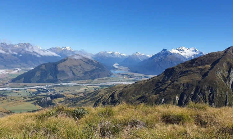
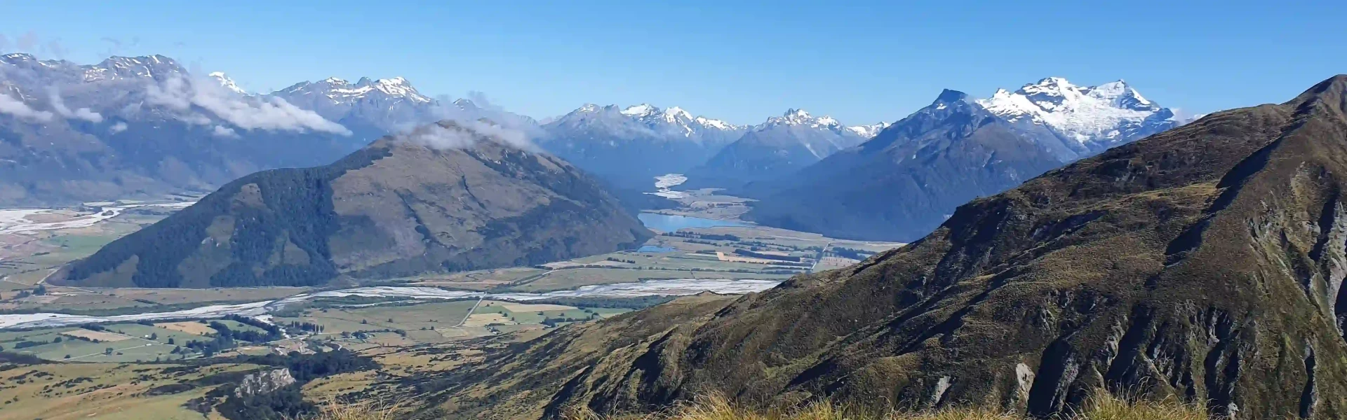
A steep overnight tramp with magnificent views through open tussock land.
Distance
18 km
Walking time
8-10 hr return
Difficulty
Advanced
Dogs
Not allowed
Wheelchair access
Not marked friendly
Current status
Weather outlook
Issued 8 Oct 2026, 9:24 pm
9 October 2026
Cloud about the terrain lifting in the morning, then returning in the evening. Isolated afternoon and evening showers.
10 October 2026
Partly cloudy. A few showers developing in the afternoon, frequent about the northwest ranges.
11 October 2026
Partly cloudy with isolated showers.
12 October 2026
Partly cloudy.
13 October 2026
Rain developing.
Regional guidance only; elevation and terrain can produce different conditions.
Explore the area
Explore the track route and surrounding area before you set out.
Car park to McIntosh Hut Time: 5 to 6 hr The track from the carpark is a cruisey 4WD track to start with on a solid incline. Follow the Mount Judah Track and after 4.2km you’ll come to the junction where track splits; take the left track towards McIntosh Hut. The trail eventually crosses Buckler Burn (river). Please read the essential information and the signs at the start of the track and be prepared to turn back at this point. If it's safe to cross, continue on, and after about 1.6km you'll come across the sign for McIntyre Hut . From here its back uphill for 2km to Long Gully Saddle, then take the righthand side track at the T junction to take you zigzagging up a steep section (1km) to McIntosh Hut , or left to return to the start. McIntosh Hut to Glenorchy Road Time: 3 to 4 hr Head back to the T junction and continue straight, tackling the sharp 70m climb in front of you. The track is undulating and then descends. You'll cross a fence and follow the fenceline down a very steep, not well formed track. Slipping is common here - if you have bad knees you might prefer to descend the way you came on the first day. Follow the track and arrive back on the Queenstown-Glenorchy Road, five minutes north of the carpark.
The Whakaari tracks are alpine and exposed: changeable weather, extreme temperatures, strong winds, snow and ice are possible at any time of year. Not recommended during winter months or unfavourable conditions. River crossing experience is essential. Streams may flood at any time of year due to rain or snow melt and should not be crossed in flood. If high water levels at the Buckler Burn make it impassable, trampers may have to turn back and return the way they have come - be prepared for a long walk back if you have come down the true right of the McIntosh Loop. Dangerous mine tunnels are present and may be hidden by vegetation. Do not enter tunnels. Avalanches usually occur from May to November in Wakatipu, Wānaka and Central Otago. There can also be avalanches outside this period, if there is still snow coverage. Due to historic mining activities, high levels of arsenic and heavy metals may be present in the soil and streams in the Whakaari area. Filtering or boiling the stream water does not remove the contamination. Visitors should not use the natural water sources for drinking, cooking, or washing based on current information available on the contamination. McIntyre and McIntosh huts may have water in their tanks for use, but this is not guaranteed. Carry all the water you need when you visit the site.
The Whakaari Conservation Area carpark and start of the track is about 2km from Glenorchy on the Queenstown side of the Buckler Burn stream. If approaching from Queenstown, as you near Glenorchy, you will pass an airstrip and entrance to Blanket Bay on your left with the carpark around the next corner on the right (just before the road takes a steep descent downhill). Use this location on Google Maps to help find your way there. Alternatively, start the walk from Glenorchy, by taking the 1.9km Buckler Burn Trail adding around 15-20 minutes each way.
We encourage you to continue gaining the skills and knowledge required for a safe trip. The NZ Mountain Safety Council has lots of free resources and information you can use. These can be accessed via www.mountainsafety.org.nz . We recommend trying these online learning tools: Trip Planning Tramping / field Skills Basic Navigation River Safety Additionally, check out the range of helpful videos available from the NZ Mountain Safety Council YouTube channel
No dogs.
Track information, access and weather can change. Confirm current alerts and land-manager information close to departure, tell someone your plans, and carry equipment appropriate for the route and conditions.