9 October 2026
Cloud about the tops.
Loading outdoor place details…
Kahurangi National Park
At 1875 m Mt Owen is the highest peak in Kahurangi National Park and on a fine day the views from this peak are spectacular.
Distance
22.98 km
Walking time
Northern access: 9 hr, Southern access 7 hr
Difficulty
Advanced, Expert
Dogs
Not allowed
Wheelchair access
Not marked friendly
Current status
No active alerts found. Conditions can still change, so check again before leaving.
Weather outlook
Issued 9 Oct 2026, 7:33 am
9 October 2026
Cloud about the tops.
10 October 2026
Cloud increasing with showers developing in the morning, becoming rain at night.
11 October 2026
Rain clearing to fine in the afternoon.
12 October 2026
Partly cloudy with isolated showers.
13 October 2026
Partly cloudy.
Regional guidance only; elevation and terrain can produce different conditions.
Explore the area
Explore the track route and surrounding area before you set out.
There are two options for the first section of this track. Both are well signposted and take a similar amount of time. The first option is to walk up the ridge between Granity and Blue Creeks. This is a very open track that can be hot on a summer's day. Ensure you carry plenty of water. The second option is to walk up Blue Creek Track taking you past old gold mining relics and workings. The track follows Blue Creek for approximately 20 minutes then heads up through beech forest and joins the other track. Where these tracks join there is a climb to a clearing offering views to the north and west. Cross the clearing and head down through the forest to a saddle. The next section, called 'The Staircase' descends steeply before sidling around marble bluffs and down into Blue Creek. From here it is not long to Granity Pass Hut, follow the usually dry marble creek bed to the hut on the true left bank of the stream. There are limited sites in the tussock around Granity Pass Hut for camping, but camp near the hut to minimise the impact on the mountain.
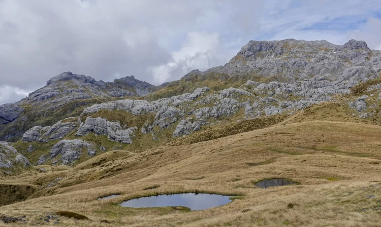
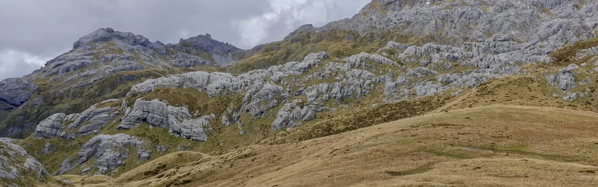
From Granity Pass Hut follow the route through a large area of tussock grassland. There are no track markers or snow poles from this point onwards. Keep to the east of Sentinel Hill, and then walk through a saddle past several small tarns. From the other side of this saddle, a series of rock cairns lead uphill to the summit. This route will be difficult and dangerous to follow in snow, misty or bad weather. A map is essential for navigation. Return to Granity Pass Hut the way you came. Give yourself plenty of time to get down before dark as navigating the karst landscape with poor light would also be challenging.
This is the most difficult approach to Mt Owen, it’s challenging and requires a high level of fitness and experience. The track crosses farmland for approximately 2 km before entering the forest. The river is crossed several times before the track climbs steeply up Sunrise Ridge to the bushline. Once you leave the Owen River there is no water supply, remember to carry your own. Above the bushline, scramble up through the thick tussock and steep scree fields to the ridge below Sunrise Peak. Continue northwards towards Mt Owen. Good visibility is essential for route finding. There are no markers or rock cairns above the bushline. From the bushline to Mt Owen summit is approximately 3 hours.
Trampers should not travel alone on these tracks. The karst landscape is full of shafts. Climbing skills and equipment may be necessary. Trampers need to be experienced, well equipped, fit and self-sufficient. Carry and confidently know how to use a map and compass, or GPS for navigation. There are no track markers above the bushline, so poor visibility can make route finding and orientation difficult. Some rivers do not have bridges and may become impassable after heavy rain. The northern access is reached by car along Wangapeka Road, which crosses a ford over the Dart River. This may be impassable after heavy rain.
The Northern end starts from Courthouse Flat campsite Granity Pass Hut does not require bookings, and also has a few sites nearby for camping.
Northern access From Tapawera, 62 km from Nelson, follow the signposts west to the Wangapeka Valley. There is a ford at the Dart River that may be impassable after heavy rain. After crossing the ford, continue up the valley to Courthouse Flat, the start of the track to Granity Pass Hut. Use this location in Google Maps to find your way there. Southern access The Owen River East Road is accessed from SH6, 16 km east of Murchison, near the Owen River Tavern. Follow this road for approximately 13 km until you get to the track signposted to Sunrise Peak, the start of the route to Mt Owen. Alternatively, turn left down the side road to access the route to Branch Creek Hut via Frying Pan Creek and Fyfe River. The road crosses private land, please respect the property and leave gates as you find them. If you are planning to camp or driving up at night contact the landowners for permission. Contact DOC Nelson Lakes Visitor Centre for details. Use this location in Google Maps to find your way there.
We encourage you to continue gaining the skills and knowledge required for a safe trip. The NZ Mountain Safety Council has lots of free resources and information you can use. These can be accessed via www.mountainsafety.org.nz . We recommend trying these online learning tools: Trip Planning Tramping / field Skills Basic Navigation River Safety Additionally, check out the range of helpful videos available from the NZ Mountain Safety Council YouTube channel .
Strong westerly winds and heavy rain are prevalent whenever a frontal system is moving up from the southwest. Snow may linger on the mountain well into summer.
No dogs.
Track information, access and weather can change. Confirm current alerts and land-manager information close to departure, tell someone your plans, and carry equipment appropriate for the route and conditions.